Old Maps of Coles, Illinois
Explore 12 old maps of Coles, spanning from 1935 to today. These high-resolution historic maps reveal how streets, neighborhoods, landmarks, and natural features evolved over time — perfect for genealogy, metal detecting, research, and local history exploration.
What you can do with these maps:
- See how Coles changed over time: Compare historical maps to modern-day views to trace roads, homesites, rail lines & more.
- View detailed metadata: Each map includes creators, publishers, year, scale, and archive source.
- Overlay maps with satellite & LiDAR: Visualize the past alongside modern tools to explore terrain & human change.
- Trusted historical sources: Maps sourced from the USGS, Library of Congress, and other archives.
- Access maps your way: View online, download high-res files, or order prints for personal or research use.
Start exploring old maps of Coles to uncover forgotten places, hidden landmarks, and the deep history beneath your feet.
Coles, IL maps
(12)- 1935 Map of Arcola
 1935 Arcola1935 Print · USGSCentral Illinois farming communities thrived along the Illinois Central and Pennsylvania rail lines in the 1930s. Genealogists can trace family roots through numerous rural landmarks like Yoder Cem, Quinn Chapel, and Pulltight Sch.3 unique versions available
 - 1940 Map of Arcola
 1940 Arcola1940 Print · USGSThe Douglas and Coles County borderlands come alive in this pre-war portrait of central Illinois agricultural life. Researchers can trace dozens of rural school sites such as Pulltight Sch and Little Red Sch, alongside old rail corridors like the Illinois Central.
 - 1958 Map of Decatur, 1971 Print
 1958 Decatur1971 Print · USGSCentral Illinois in the mid-twentieth century shows a landscape defined by industrial rail hubs and the creation of large reservoirs. Researchers can trace historic corridors like the Penn Central or locate landmarks such as Lincoln Log Cabin State Park and Lake Springfield.3 unique versions available
 - 1961 Map of Decatur
 1961 Decatur1961 Print · USGSCentral Illinois in the late fifties was a bustling corridor of rail lines and prairie commerce centered on the state capital. Genealogists and historians can trace the intricate connections between Springfield, Decatur, and dozens of smaller settlements like Nokomis and Arcola.2 unique versions available
 - 1983 Map of Cooks Mills
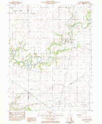 1983 Cooks Mills1983 Print · USGSColes County at the start of the eighties shows a landscape of river-bottom farms and active extraction. Researchers can locate family landmarks like Quinn Chapel and Smith Cem or trace the path of the Illinois Central Gulf railroad.
 - 1985 Map of Decatur
 1985 Decatur1985 Print · USGSCentral Illinois farming and rail hubs thrive in the mid-1980s as Decatur anchors a sprawling network of track and timber. Trace the paths of the Sangamon River and the Illinois Central Gulf RR through old towns like Cerro Gordo and Bement.2 unique versions available
 - 1998 Map of Cooks Mills, 2003 Print
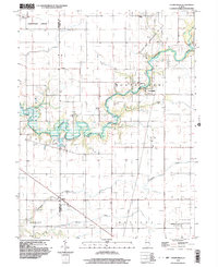 1998 Cooks Mills2003 Print · USGSCentral Illinois at the end of the twentieth century reveals a landscape shaped by the Kaskaskia River and the local energy industry. Researchers can trace rural cemeteries and church sites like Quinn Chapel or locate active oil wells and the Daily Landing Strip.
 - 2012 Map of Cooks Mills, 2012 Print
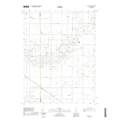
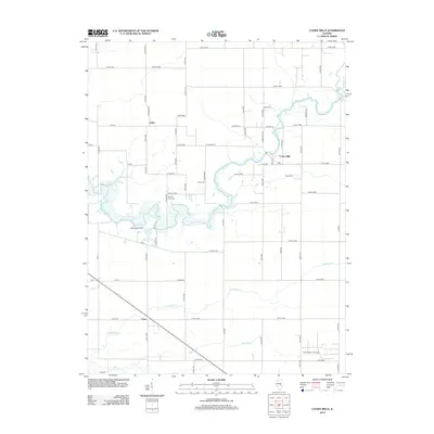 2012 Cooks Mills2012 Print · USGSCovers Coles, including Fuller, Cooks Mills, and other nearby areas
 - 2015 Map of Cooks Mills, 2015 Print
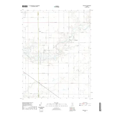
 2015 Cooks Mills2015 Print · USGSCovers Coles, including Fuller, Cooks Mills, and other nearby areas
 - 2018 Map of Cooks Mills, 2018 Print
 2018 Cooks Mills2018 Print · USGSCovers Coles, including Fuller, Cooks Mills, and other nearby areas
 - 2021 Map of Cooks Mills, 2021 Print
 2021 Cooks Mills2021 Print · USGSCovers Coles, including Fuller, Cooks Mills, and other nearby areas
 - 2024 Map of Cooks Mills, 2024 Print
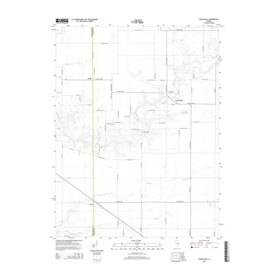
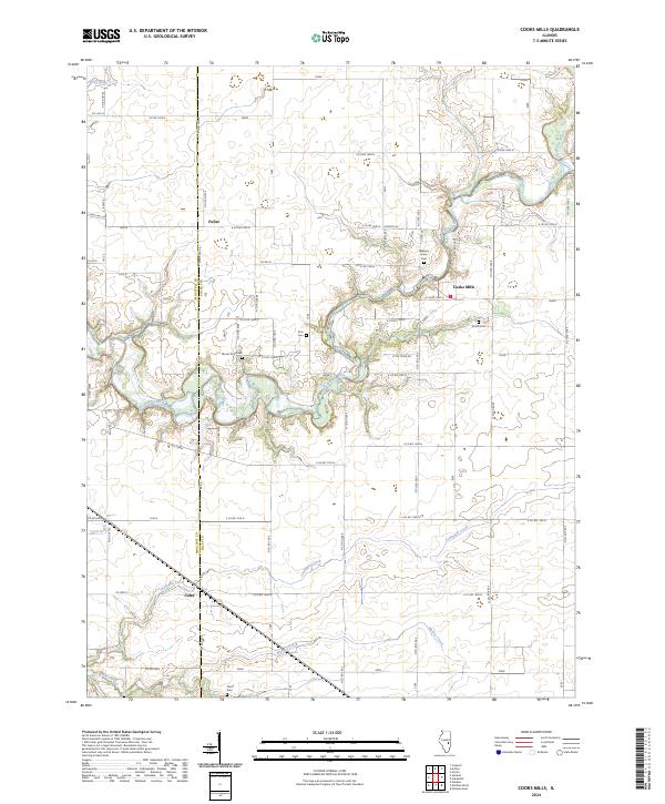 2024 Cooks Mills2024 Print · USGSThe Kaskaskia River valley in Coles and Moultrie counties is shown here in the 2020s, highlighting the enduring rural character of central Illinois. Researchers can locate family landmarks such as Smith Cem, Pierce Cem, and the settlement at Cooks Mills.
End of results
Showing maps 1-12 of 12
Top cities near Coles
- Charleston historical maps
- Mattoon historical maps
- Sullivan historical maps
- Arcola historical maps
- Neoga historical maps
- Paradise historical maps
See more
Frequently asked questions
- What are the different types of historical maps available for Coles?
- What is the oldest map of Coles?
- Where can I purchase historical maps of Coles for my home or office?
- Where can I download high-res historical maps of Coles?
- Are there historical topographic maps available for Coles?
- Is there historical aerial imagery available for Coles?
- Where are historical maps of Coles sourced from?