Old Maps of New Canton, Illinois for Academic Research
Study the evolution of New Canton with 13 high-resolution historic maps. Whether you're teaching, researching, or modeling changes in land use, these maps provide essential visual documentation of urban, environmental, and geographic change.
- Analyze long-term change: Track patterns in development, transportation, and natural features.
- Ideal for environmental or urban studies: Support academic projects with primary historical map data.
- Use in the classroom or lab: Educators and researchers rely on these maps to bring historical context to life.
These maps are a powerful tool for teaching, research, and visualizing how New Canton has changed over the decades.
New Canton, IL maps
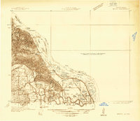
(13)- 1931 Map of Barry
 1931 Barry1931 Print · USGSPike County bottomlands along the Mississippi River are shown here in the late twenties and early thirties, just as drainage projects transformed the landscape. Genealogists and local historians can trace rural school locations like Guss Sch and Munger Sch, or find family burials at Money Cem and Blackjack Cem.
 - 1936 Map of Barry
 1936 Barry1936 Print · USGSThe Mississippi River valley in the mid-1930s reveals a complex network of island chutes and railroad settlements. Genealogists and historians can trace old river crossings like Stouts Ford and find vanished local school districts such as Love Sch and Hawk Creek Sch.2 unique versions available
 - 1944 Map of Barry
 1944 Barry1944 Print · USGSPike County's river-bottoms and bluffs are captured here in the mid-1940s, showing the complex interaction between the river and the rail lines. Genealogists and local historians can trace rural school locations like Wilke Chapel Sch and Buckeye Sch, or explore old landings such as Cincinnati Landing.2 unique versions available
 - 1948 Map of Quincy
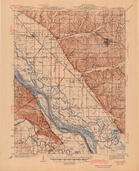
 1948 Quincy1948 Print · USGSThe Mississippi and Illinois River valleys are captured at a post-war crossroads as rail and river travel met the expanding highway system. Genealogists can trace family settlements from Quincy to Hannibal and smaller towns like Vandalia and Jerseyville.2 unique versions available
 - 1956 Map of Quincy, 1967 Print
 1956 Quincy1967 Print · USGSThe river and rail corridors of the Illinois-Missouri border are documented here during the mid-1950s. Researchers can trace historic river landings and regional transit hubs from Quincy and Hannibal to smaller settlements like Meredosia and Roodhouse.3 unique versions available
 - 1978 Map of Barry
 1978 Barry1978 Print · USGSWestern Illinois farmland and creek valleys are captured here in the late seventies. Family historians can locate numerous rural burial grounds like Woodruff Cem and Story Point Cem or trace the Norfolk and Western rail line near Barry.
 - 1986 Map of Quincy
 1986 Quincy1986 Print · USGSThe tri-state border region along the Mississippi River comes into focus during the mid-1980s. Researchers can trace the legacy of river towns and rail hubs like Quincy and Monroe City or locate landmarks such as Mount Olive Cem.2 unique versions available
 - 1998 Map of Barry, 2002 Print
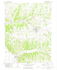
 1998 Barry2002 Print · USGSPike County, Illinois, is documented here in the late 1990s as the regional infrastructure around Barry evolved. Researchers can trace old family burial grounds like Woodruff Cem and Blair Cem or locate local landmarks like Weber Spring and the Gully Landing Strip.
 - 2012 Map of Barry, 2012 Print
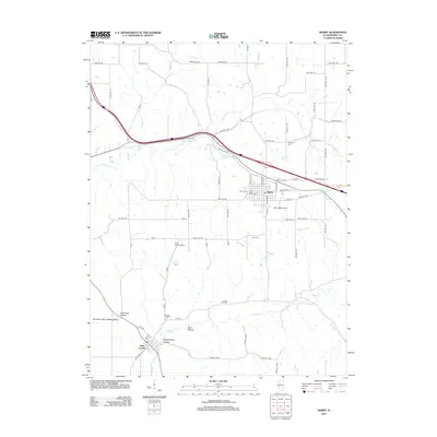 2012 Barry2012 Print · USGSCovers New Canton, including Barry, El Dara, and other nearby areas
 - 2015 Map of Barry, 2015 Print
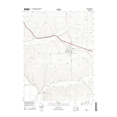 2015 Barry2015 Print · USGSCovers New Canton, including Barry, El Dara, and other nearby areas
 - 2018 Map of Barry, 2018 Print
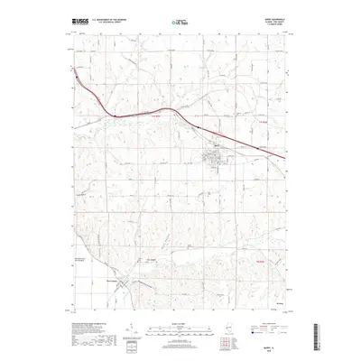 2018 Barry2018 Print · USGSCovers New Canton, including Barry, El Dara, and other nearby areas
 - 2021 Map of Barry, 2021 Print
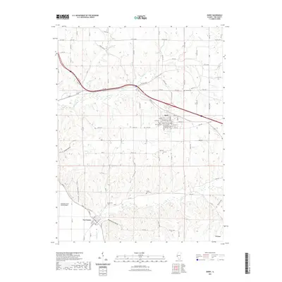 2021 Barry2021 Print · USGSCovers New Canton, including Barry, El Dara, and other nearby areas
 - 2024 Map of Barry, 2024 Print
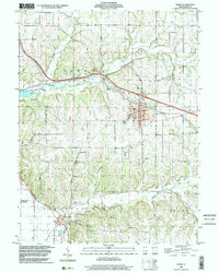
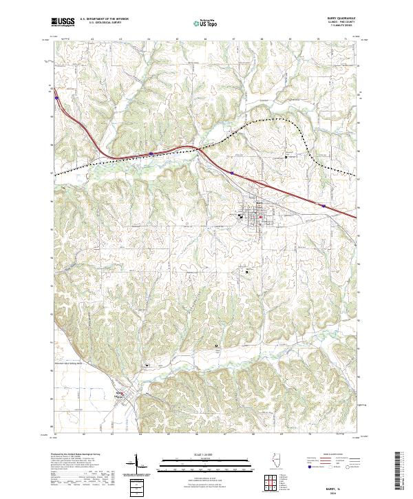 2024 Barry2024 Print · USGSWestern Pike County comes into focus in this contemporary survey of the hills and hollows surrounding the town of Barry. Genealogists can locate several rural burial sites like Stoney Point Cem and Shearer Cem or trace family land near Hadley Creek.
End of results
Showing maps 1-13 of 13
Top cities near New Canton
- Louisiana historical maps
- Barry historical maps
- Payson historical maps
- Pleasant Hill historical maps
- Atlas historical maps
- Fall Creek historical maps
See more
Frequently asked questions
- What are the different types of historical maps available for New Canton?
- What is the oldest map of New Canton?
- Where can I purchase historical maps of New Canton for my home or office?
- Where can I download high-res historical maps of New Canton?
- Are there historical topographic maps available for New Canton?
- Is there historical aerial imagery available for New Canton?
- Where are historical maps of New Canton sourced from?