2000s (21st Century) Maps of Browning, Illinois
Explore 20 historic maps of Browning from the 2000s (21st Century). These maps offer a rare glimpse into what life looked like during the 2000s — showing old roads, neighborhoods, homes, and landmarks that have changed or disappeared over time.
Whether you're researching your family's past, planning a metal detecting trip, or studying how Browning's landscape evolved across the 2000s, these high-resolution maps are a powerful tool for exploring the history of this region.
- Focus on a specific era: All maps on this page are from the 2000s, giving you a focused view of this time period.
- See what’s changed: Compare century-old streets, trails, and buildings to today's modern landscape using overlays and satellite layers.
- Research with precision: Use these maps for genealogy, historical research, land use analysis, or educational projects.
- View, download, or print: Maps are fully viewable online in high resolution, and can be downloaded or printed for your own records.
Start exploring Browning's history through authentic maps from the 2000s. This is your window into the past.
Browning, IL maps
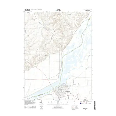
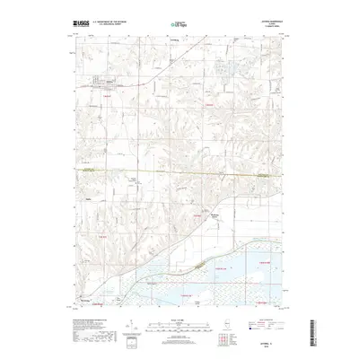
(20)- 2012 Map of Astoria, 2012 Print
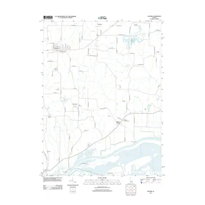 2012 Astoria2012 Print · USGSCovers Browning, including Astoria, Bader, and other nearby areas
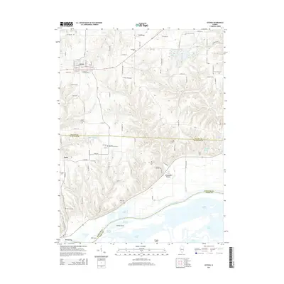
 - 2012 Map of Ray, 2012 Print
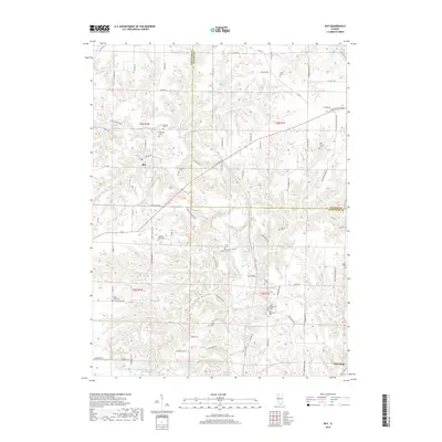
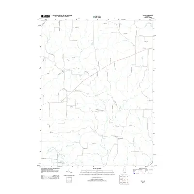 2012 Ray2012 Print · USGSCovers Browning, including Ray, Fulton County, and other nearby areas
 - 2012 Map of Beardstown, 2012 Print
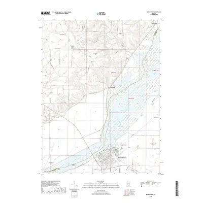
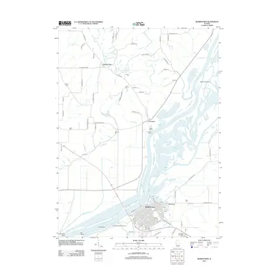 2012 Beardstown2012 Print · USGSCovers Browning, including Beardstown, Frederick, and other nearby areas
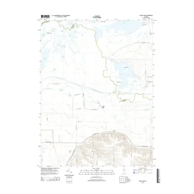
 - 2012 Map of Clear Lake, 2012 Print
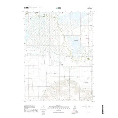
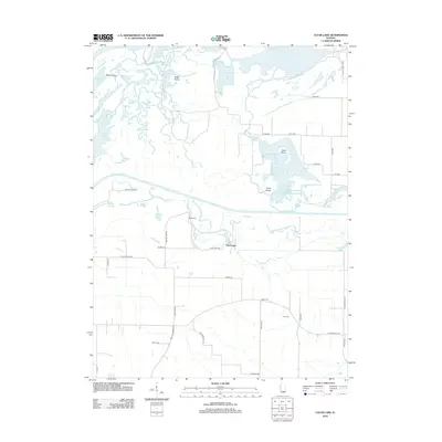 2012 Clear Lake2012 Print · USGSCovers Browning, including Clear Lake, Mason County, and other nearby areas
 - 2015 Map of Beardstown, 2015 Print
 2015 Beardstown2015 Print · USGSCovers Browning, including Beardstown, Frederick, and other nearby areas
 - 2015 Map of Astoria, 2015 Print
 2015 Astoria2015 Print · USGSCovers Browning, including Astoria, Bader, and other nearby areas
 - 2015 Map of Ray, 2015 Print
 2015 Ray2015 Print · USGSCovers Browning, including Ray, Fulton County, and other nearby areas
 - 2015 Map of Clear Lake, 2015 Print
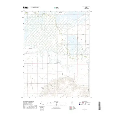
 2015 Clear Lake2015 Print · USGSCovers Browning, including Clear Lake, Mason County, and other nearby areas
 - 2018 Map of Clear Lake, 2018 Print
 2018 Clear Lake2018 Print · USGSCovers Browning, including Clear Lake, Mason County, and other nearby areas
 - 2018 Map of Beardstown, 2018 Print
 2018 Beardstown2018 Print · USGSCovers Browning, including Beardstown, Frederick, and other nearby areas
 - 2018 Map of Astoria, 2018 Print
 2018 Astoria2018 Print · USGSCovers Browning, including Astoria, Bader, and other nearby areas
 - 2018 Map of Ray, 2018 Print
 2018 Ray2018 Print · USGSCovers Browning, including Ray, Fulton County, and other nearby areas
 - 2021 Map of Ray, 2021 Print
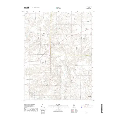 2021 Ray2021 Print · USGSCovers Browning, including Ray, Fulton County, and other nearby areas
 - 2021 Map of Clear Lake, 2021 Print
 2021 Clear Lake2021 Print · USGSCovers Browning, including Clear Lake, Mason County, and other nearby areas
 - 2021 Map of Astoria, 2021 Print
 2021 Astoria2021 Print · USGSCovers Browning, including Astoria, Bader, and other nearby areas
 - 2021 Map of Beardstown, 2021 Print
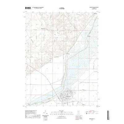 2021 Beardstown2021 Print · USGSCovers Browning, including Beardstown, Frederick, and other nearby areas
 - 2024 Map of Clear Lake, 2024 Print
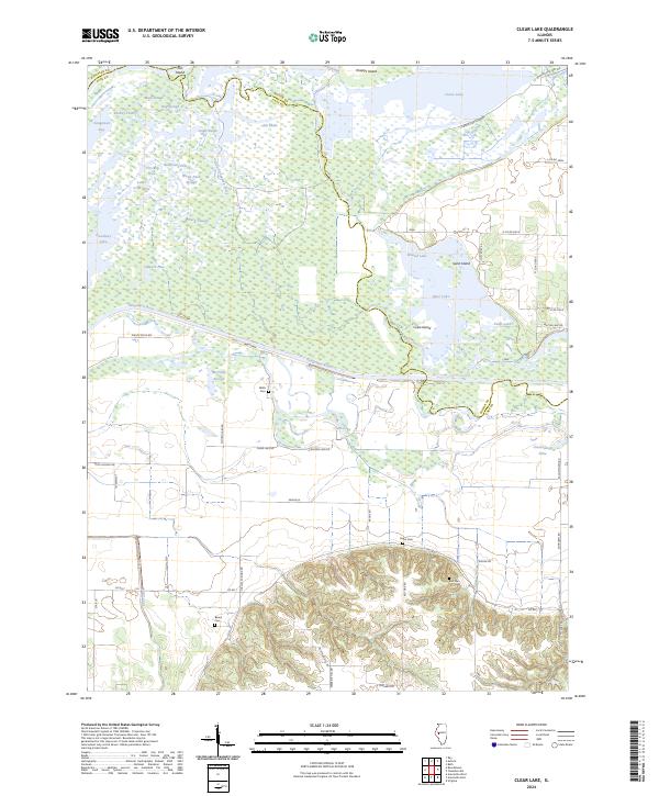 2024 Clear Lake2024 Print · USGSThe Sangamon River floodplains in Cass and Mason counties are revealed here in the modern era as a maze of backwaters and sloughs. Researchers can trace land boundaries near Wells Cem or explore the hills around Hager Cem and Warrior Hill Rd.
 - 2024 Map of Beardstown, 2024 Print
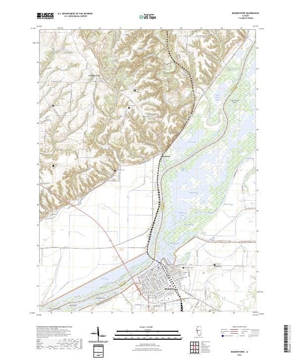 2024 Beardstown2024 Print · USGSThe riverfront at Beardstown and the surrounding bluffs appear in detail on this modern survey. Researchers can trace the layout of the river system from Muscooten Bay to numerous local burial sites like Oak Grove Cem and Marchant Cem.
 - 2024 Map of Ray, 2024 Print
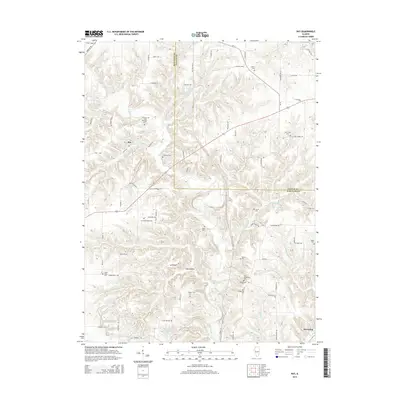
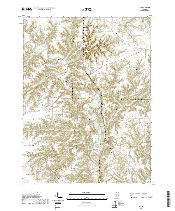 2024 Ray2024 Print · USGSThe rural border of Schuyler and Fulton counties comes into focus in this contemporary survey of the area around Ray. Genealogists can trace numerous historic burial sites including Christian Neck Cem, Good Hope Cem, and Salem Cem across the wooded draws of Sugar Creek.
 - 2024 Map of Astoria, 2024 Print
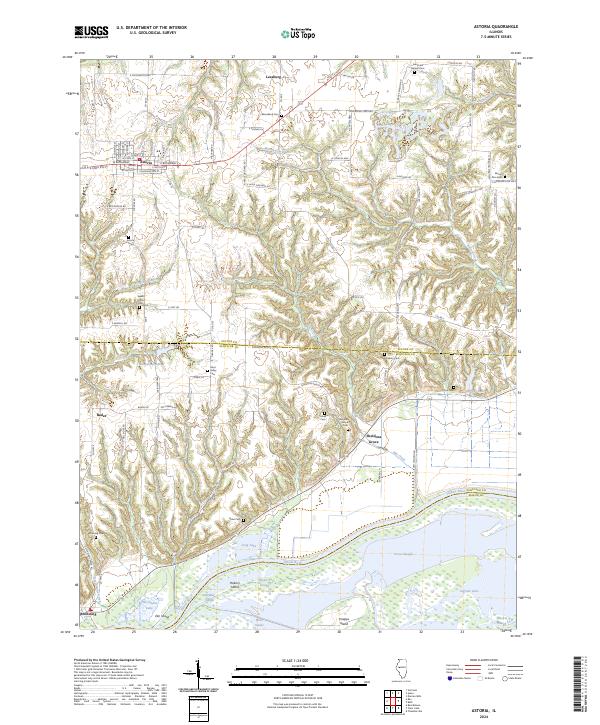 2024 Astoria2024 Print · USGSThe community of Astoria and the rural reaches of Fulton County are shown here in modern detail. Genealogists can locate family burial sites at Astoria Cem or Mud Valley Cem and trace the bottomlands along the Illinois River.
End of results
Showing maps 1-20 of 20
Top cities near Browning
- Beardstown historical maps
- Rushville historical maps
- Virginia historical maps
- Astoria historical maps
- Bluff Springs historical maps
- Vermont historical maps
See more
Frequently asked questions
- What are the different types of historical maps available for Browning?
- What is the oldest map of Browning?
- Where can I purchase historical maps of Browning for my home or office?
- Where can I download high-res historical maps of Browning?
- Are there historical topographic maps available for Browning?
- Is there historical aerial imagery available for Browning?
- Where are historical maps of Browning sourced from?