Old Maps of Herrick, Illinois for Metal Detecting
Plan your next treasure hunt with 12 historic maps of Herrick. Find old homesites, ghost towns, trails, and gathering spots that may be lost to time — perfect for identifying promising metal detecting locations.
- Locate forgotten sites: Uncover places like long-lost settlements, abandoned rail lines, or gathering spots.
- Plan better hunts: Use map overlays combined with LiDAR or satellite views to narrow in on historically rich areas.
- Made for detectorists: Thousands of hobbyists use these maps to discover relics, coins, and hidden history.
Use these historic maps to boost your research and find new opportunities beneath the surface of Herrick.
Herrick, IL maps
(12)- 1941 Map of St. Elmo, 1958 Print
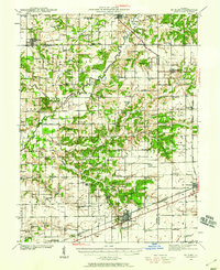 1941 St. Elmo1958 Print · USGSThe Illinois counties of Fayette, Shelby, and Effingham are mapped here in the early 1940s at the height of their rail-and-refinery era. Genealogists and historians can trace numerous country schools like Martin Box Sch and churches like Crums Chapel near the Carter Refinery.2 unique versions available
 - 1945 Map of St. Elmo
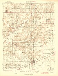 1945 St. Elmo1945 Print · USGSFayette and Effingham counties are seen here in the 1940s at a peak of rail and river industry. Genealogists and historians can trace family locations near Saint Elmo, locate the Carter Refinery, or find rural landmarks like Crums Chapel and Meyers Cem.2 unique versions available
 - 1958 Map of Decatur, 1971 Print
 1958 Decatur1971 Print · USGSCentral Illinois in the mid-twentieth century shows a landscape defined by industrial rail hubs and the creation of large reservoirs. Researchers can trace historic corridors like the Penn Central or locate landmarks such as Lincoln Log Cabin State Park and Lake Springfield.3 unique versions available
 - 1961 Map of Decatur
 1961 Decatur1961 Print · USGSCentral Illinois in the late fifties was a bustling corridor of rail lines and prairie commerce centered on the state capital. Genealogists and historians can trace the intricate connections between Springfield, Decatur, and dozens of smaller settlements like Nokomis and Arcola.2 unique versions available
 - 1982 Map of Herrick
 1982 Herrick1982 Print · USGSThe village of Herrick and the surrounding townships of Shelby and Fayette counties are captured here in the early 1980s. Researchers can locate numerous family-named landmarks, including Blankenship Cem, the Kaskaskia Ch, and the local Oil Field.
 - 1986 Map of Effingham
 1986 Effingham1986 Print · USGSCentral Illinois during the mid-eighties was a hub of rail travel and water recreation centered on the new reservoirs. Genealogists and historians can trace the rural landscape between Mattoon and Effingham, locating landmarks like St Paul Ch and Eagle Creek State Park.2 unique versions available
 - 1998 Map of Herrick, 2003 Print
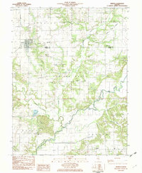
 1998 Herrick2003 Print · USGSThe rural border of Shelby and Fayette counties comes into focus in the late nineties, centered on the village of Herrick. Genealogists can trace family heritage through numerous landmarks like Pleasant Grove Cem, Kaskaskia Ch, and the crossing at Lorton Bridge.
 - 2012 Map of Herrick, 2012 Print
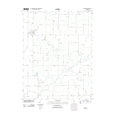 2012 Herrick2012 Print · USGSCovers Herrick, including Fayette County, Shelby County, and other nearby areas
 - 2015 Map of Herrick, 2015 Print
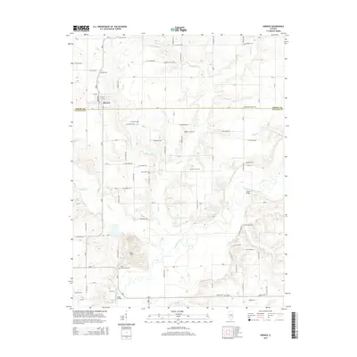 2015 Herrick2015 Print · USGSCovers Herrick, including Fayette County, Shelby County, and other nearby areas
 - 2018 Map of Herrick, 2018 Print
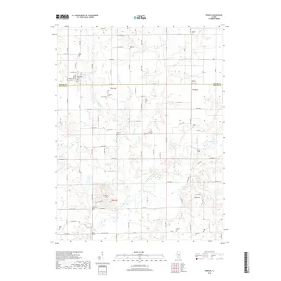 2018 Herrick2018 Print · USGSCovers Herrick, including Fayette County, Shelby County, and other nearby areas
 - 2021 Map of Herrick, 2021 Print
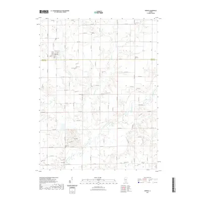 2021 Herrick2021 Print · USGSCovers Herrick, including Fayette County, Shelby County, and other nearby areas
 - 2024 Map of Herrick, 2024 Print
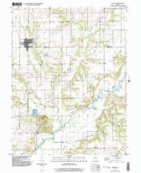
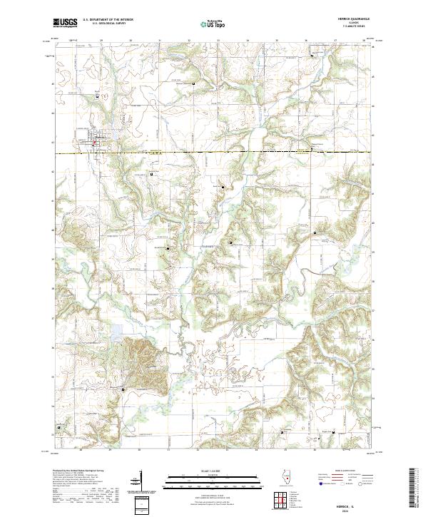 2024 Herrick2024 Print · USGSThe village of Herrick and the surrounding Illinois farmland appear here in modern detail, straddling the border of Shelby and Fayette counties. Genealogists and local historians can locate numerous family burial sites, including Antioch Cem, Rogers Cem, and Myers Cem.
End of results
Showing maps 1-12 of 12
Top cities near Herrick
- Vandalia historical maps
- Pana historical maps
- Shelbyville historical maps
- Avena historical maps
- Saint Elmo historical maps
- St. Elmo historical maps
See more
Frequently asked questions
- What are the different types of historical maps available for Herrick?
- What is the oldest map of Herrick?
- Where can I purchase historical maps of Herrick for my home or office?
- Where can I download high-res historical maps of Herrick?
- Are there historical topographic maps available for Herrick?
- Is there historical aerial imagery available for Herrick?
- Where are historical maps of Herrick sourced from?