Old Maps of West Jersey, Illinois for Metal Detecting
Plan your next treasure hunt with 10 historic maps of West Jersey. Find old homesites, ghost towns, trails, and gathering spots that may be lost to time — perfect for identifying promising metal detecting locations.
- Locate forgotten sites: Uncover places like long-lost settlements, abandoned rail lines, or gathering spots.
- Plan better hunts: Use map overlays combined with LiDAR or satellite views to narrow in on historically rich areas.
- Made for detectorists: Thousands of hobbyists use these maps to discover relics, coins, and hidden history.
Use these historic maps to boost your research and find new opportunities beneath the surface of West Jersey.
West Jersey, IL maps
(10)- 1944 Map of Kewanee
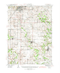 1944 Kewanee1944 Print · USGSHenry and Stark Counties in the 1940s show a landscape of thriving rail towns and closely spaced country schoolhouses. Genealogists can locate family-named landmarks like Cavanagh Cem and Bumble Bee Sch along the Spoon River valley.3 unique versions available
 - 1958 Map of Aurora, 1969 Print
 1958 Aurora1969 Print · USGSNorthern Illinois in the late fifties shows a landscape of powerful river industry and expanding transport corridors. Genealogists and historians can trace the development of Aurora and Joliet or locate sites like the Elwood Ordnance Plant and Starved Rock.3 unique versions available
 - 1961 Map of Aurora
 1961 Aurora1961 Print · USGSNorthern Illinois at the height of the post-war era reveals a landscape of massive industrial works and thriving river towns. Genealogists and historians can trace the paths of the Lincoln Highway or locate long-standing landmarks like the Green River Ordnance Plant and Starved Rock State Park.
 - 1983 Map of La Fayette, 1984 Print
 1983 La Fayette1984 Print · USGSSettlement patterns and rural life in Stark County are documented here in the early 1980s. Genealogists can locate family landmarks like McClenahan Cem and trace the Old Railroad Grade near La Fayette.
 - 1985 Map of Kewanee
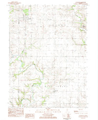
 1985 Kewanee1985 Print · USGSNorth-central Illinois in the mid-eighties shows a landscape of river-valley industry and prairie transit. Researchers can trace family roots through Evergreen Memory Garden or follow the historic Hennepin Canal past Tiskilwa and Wyanet.2 unique versions available
 - 2012 Map of Lafayette, 2012 Print
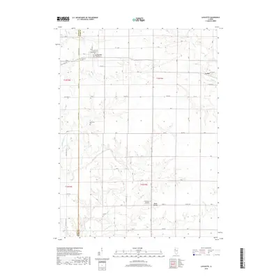
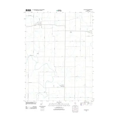 2012 Lafayette2012 Print · USGSCovers West Jersey, including Toulon, La Fayette, and other nearby areas
 - 2015 Map of Lafayette, 2015 Print
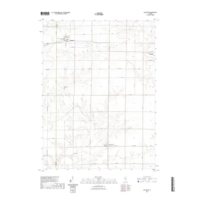
 2015 Lafayette2015 Print · USGSCovers West Jersey, including Toulon, La Fayette, and other nearby areas
 - 2018 Map of Lafayette, 2018 Print
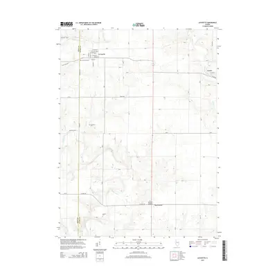
 2018 Lafayette2018 Print · USGSCovers West Jersey, including Toulon, La Fayette, and other nearby areas
 - 2021 Map of Lafayette, 2021 Print
 2021 Lafayette2021 Print · USGSCovers West Jersey, including Toulon, La Fayette, and other nearby areas
 - 2024 Map of Lafayette, 2024 Print
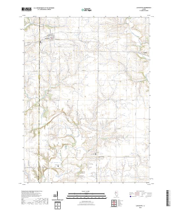 2024 Lafayette2024 Print · USGSStark County's agricultural heartland is documented here in the contemporary era, showing the enduring structure of its rural villages and creek valleys. Researchers can locate family landmarks such as McClenahan Cem, Shockley Cem, and the village streets of Lafayette.
End of results
Showing maps 1-10 of 10
Top cities near West Jersey
- Kewanee historical maps
- Galva historical maps
- Princeville historical maps
- Wyoming historical maps
- Toulon historical maps
- Osceola historical maps
See more
Frequently asked questions
- What are the different types of historical maps available for West Jersey?
- What is the oldest map of West Jersey?
- Where can I purchase historical maps of West Jersey for my home or office?
- Where can I download high-res historical maps of West Jersey?
- Are there historical topographic maps available for West Jersey?
- Is there historical aerial imagery available for West Jersey?
- Where are historical maps of West Jersey sourced from?