Old Maps of Mill Creek, Illinois for Metal Detecting
Plan your next treasure hunt with 29 historic maps of Mill Creek. Find old homesites, ghost towns, trails, and gathering spots that may be lost to time — perfect for identifying promising metal detecting locations.
- Locate forgotten sites: Uncover places like long-lost settlements, abandoned rail lines, or gathering spots.
- Plan better hunts: Use map overlays combined with LiDAR or satellite views to narrow in on historically rich areas.
- Made for detectorists: Thousands of hobbyists use these maps to discover relics, coins, and hidden history.
Use these historic maps to boost your research and find new opportunities beneath the surface of Mill Creek.
Mill Creek, IL maps
(29)- 1920 Map of Jonesboro
 1920 Jonesboro1920 Print · USGSSouthern Illinois during the late post-war era reveals a complex landscape of Mississippi riverfront bottoms and high ridges. Genealogists can trace family roots through numerous local landmarks, from the Casper Church to rural schools like Big Barn School and McClure School.
 - 1920 Map of Dongola, 1953 Print
 1920 Dongola1953 Print · USGSSouthern Illinois at the close of the 1910s reveals a landscape of river-bottom farms and busy rail junctions. Genealogists can trace family roots through dozens of local landmarks like Beech Grove School, Joppa Junction, and the State Hospital.3 unique versions available
 - 1923 Map of Dongola
 1923 Dongola1923 Print · USGSSouthern Illinois in the early twenties reveals a landscape of marshy river bottoms and upland family farms. Researchers can trace ancestral locations through dozens of named rural sites like St Johns Church, Egypt School, and Hoppa Junction.2 unique versions available
 - 1923 Map of Jonesboro
 1923 Jonesboro1923 Print · USGSThe Mississippi River bottoms and Shawnee hills meet in the early 1920s, showing a landscape of rail-dependent towns and rural schools. Trace family roots at Casper Church, follow the Mobile and Ohio Railroad, or locate Moccasin Springs.2 unique versions available
 - 1947 Map of Jonesboro, 1954 Print
 1947 Jonesboro1954 Print · USGSSouthern Illinois in the late 1940s reveals a landscape defined by the Mississippi riverfront and the deep woods of the Shawnee National Forest. Researchers can trace early rural infrastructure through numerous sites like Egypt Mills, Dutch Mills, and the historic Kornthal Church.3 unique versions available
 - 1947 Map of Mill Creek, 1978 Print
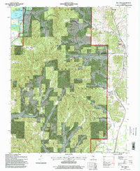
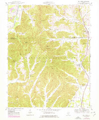 1947 Mill Creek1978 Print · USGSSouthern Illinois at the edge of the Shawnee Hills comes alive in this mid-century survey of the Union and Alexander County line. Genealogists can locate family burial sites like McClure Cem and Sims Cem or trace the old rail lines serving Mill Creek and Tamms.2 unique versions available
 - 1948 Map of Mill Creek
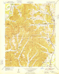 1948 Mill Creek1948 Print · USGSSouthern Illinois hill country comes alive in the late 1940s as the railroad connects the timber and creek valleys of the Shawnee National Forest. Genealogists and historians can trace family locations through McClure Cem, Hazelwood School, and the village of Elco.2 unique versions available
 - 1949 Map of Jonesboro
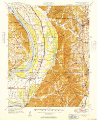 1949 Jonesboro1949 Print · USGSSouthern Illinois and eastern Missouri meet along the river in the late 1940s, showing a landscape of fertile bottomlands and timbered ridges. Genealogists can locate family landmarks like Kornthal Church, Tripp Cem, and the Misenheimer School.
 - 1949 Map of Paducah
 1949 Paducah1949 Print · USGSThe confluence of the Ohio, Mississippi, Tennessee, and Cumberland rivers at the close of the 1940s reveals a region bound by water and rail. Researchers can trace historic river landings, timberlands in the Shawnee National Forest, and the coal-mining infrastructure around West Frankfort and Herrin.2 unique versions available
 - 1950 Map of Paducah
 1950 Paducah1950 Print · USGSThe confluence of the great midwestern rivers defines this mid-century landscape at the intersection of Illinois, Kentucky, and Missouri. Genealogists and historians can trace the rail-and-river economy through the hubs of Paducah, Cairo, and Metropolis or locate family roots near the Wildcat Hills.
 - 1954 Map of Paducah
 1954 Paducah1954 Print · USGSSouthern Illinois and Western Kentucky intersect at the great river confluences during this mid-century era of rail and river industry. Genealogists and historians can trace family roots and commerce through river towns like Cairo, Metropolis, and Golconda, or along the tracks of the Illinois Central Railroad.2 unique versions available
 - 1961 Map of Paducah
 1961 Paducah1961 Print · USGSThe Lower Ohio Valley at mid-century is a landscape defined by its great rivers and newly formed reservoirs. Researchers can trace the riverfronts of Paducah and Metropolis, or locate smaller settlements like Old Shawneetown and Cave in Rock along the banks.2 unique versions available
 - 1964 Map of Paducah
 1964 Paducah1964 Print · USGSThe river-and-rail corridor of Southern Illinois and Western Kentucky is captured here during the height of the mid-century industrial era. Genealogists and researchers can trace local landmarks across several counties, from the rail yards of Paducah to the waters of Crab Orchard Lake and Kentucky Reservoir.2 unique versions available
 - 1966 Map of Dongola, 1967 Print
 1966 Dongola1967 Print · USGSSouthern Illinois rail corridors and timberlands meet in the mid-1960s as two major lines converge near the Cache River. Genealogists can trace family landmarks like Butter Ridge Cem, Mt Pisgah Ch, and the rural community of Wetaug.3 unique versions available
 - 1984 Map of Cape Girardeau, 1985 Print
 1984 Cape Girardeau1985 Print · USGSThe tri-state junction of Missouri, Illinois, and Kentucky in the mid-1980s was a bustling corridor defined by its massive river systems and complex rail lines. Researchers can trace the paths of the Missouri Pacific RR, explore the Shawnee National Forest, or locate small settlements like Marble Hill and Advance.
 - 1986 Map of Cape Girardeau
 1986 Cape Girardeau1986 Print · USGSThe Missouri-Illinois-Kentucky borderlands come into focus in the mid-1980s as the river-and-rail economy shapes the landscape near the Great Rivers confluence. Researchers can trace historic rail lines and old settlements like Gordonville, New Hamburg, and the Trail of Tears State Park.
 - 1987 Map of Paducah, 1988 Print
 1987 Paducah1988 Print · USGSThe Lower Ohio Valley and the Illinois Ozarks come alive in this late twentieth-century regional survey. Genealogists and local historians can trace river-town roots and state park landmarks from Metropolis to Cape Girardeau and Trail of Tears State Park.
 - 1996 Map of Mill Creek, 1998 Print
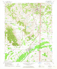
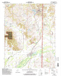
 1996 Mill Creek1998 Print · USGSSouthern Illinois at the end of the twentieth century reveals a landscape defined by the deep woods of the Shawnee National Forest and the Southern Pacific rail line. Researchers can locate local landmarks like Mill Creek, McClure Cem, and the old Lingle Sch.
 - 1996 Map of Dongola, 1998 Print
 1996 Dongola1998 Print · USGSSouthern Illinois at the end of the twentieth century shows a landscape defined by the Illinois Central Railroad and the Shawnee National Forest. Researchers can locate family landmarks like Butter Ridge Cem, Mt Pisgah Ch, and the old depot towns of Dongola and Ullin.2 unique versions available
 - 2012 Map of Dongola, 2012 Print
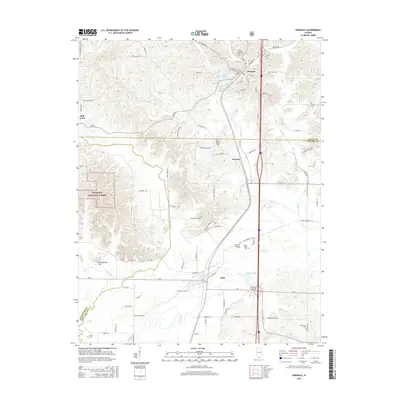
 2012 Dongola2012 Print · USGSCovers Mill Creek, including Dongola, Ullin, and other nearby areas
 - 2012 Map of Mill Creek, 2012 Print
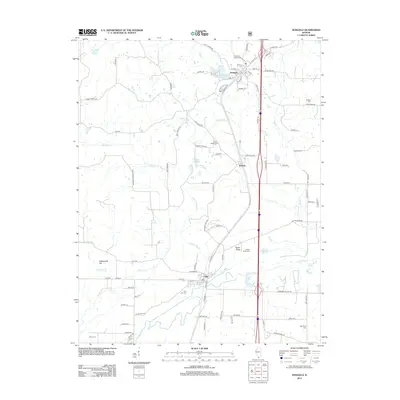
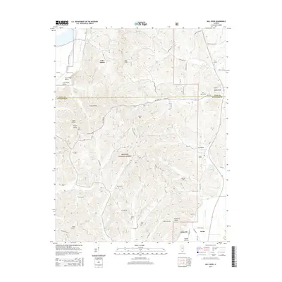
 2012 Mill Creek2012 Print · USGSCovers Mill Creek, including Tamms, Springville, and other nearby areas
 - 2015 Map of Dongola, 2015 Print
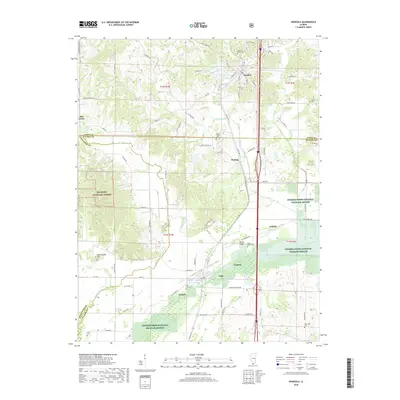
 2015 Dongola2015 Print · USGSCovers Mill Creek, including Dongola, Ullin, and other nearby areas
 - 2015 Map of Mill Creek, 2015 Print
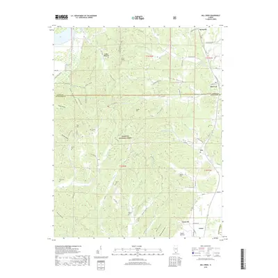
 2015 Mill Creek2015 Print · USGSCovers Mill Creek, including Tamms, Springville, and other nearby areas
 - 2018 Map of Mill Creek, 2018 Print
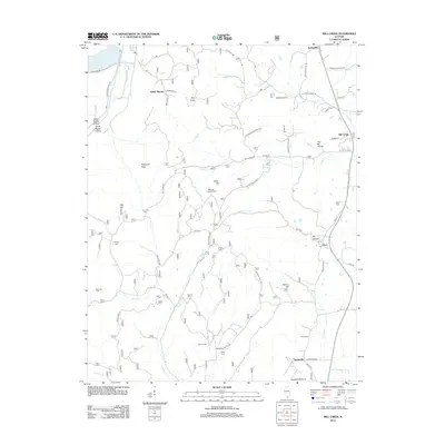
 2018 Mill Creek2018 Print · USGSCovers Mill Creek, including Tamms, Springville, and other nearby areas
 - 2018 Map of Dongola, 2018 Print
 2018 Dongola2018 Print · USGSCovers Mill Creek, including Dongola, Ullin, and other nearby areas
Showing maps 1-25 of 29
Top cities near Mill Creek
- Anna historical maps
- Jonesboro historical maps
- Tamms historical maps
- Cobden historical maps
- Mounds historical maps
- Dongola historical maps
See more
Frequently asked questions
- What are the different types of historical maps available for Mill Creek?
- What is the oldest map of Mill Creek?
- Where can I purchase historical maps of Mill Creek for my home or office?
- Where can I download high-res historical maps of Mill Creek?
- Are there historical topographic maps available for Mill Creek?
- Is there historical aerial imagery available for Mill Creek?
- Where are historical maps of Mill Creek sourced from?