Old Maps of Beecher, Illinois for Metal Detecting
Plan your next treasure hunt with 20 historic maps of Beecher. Find old homesites, ghost towns, trails, and gathering spots that may be lost to time — perfect for identifying promising metal detecting locations.
- Locate forgotten sites: Uncover places like long-lost settlements, abandoned rail lines, or gathering spots.
- Plan better hunts: Use map overlays combined with LiDAR or satellite views to narrow in on historically rich areas.
- Made for detectorists: Thousands of hobbyists use these maps to discover relics, coins, and hidden history.
Use these historic maps to boost your research and find new opportunities beneath the surface of Beecher.
Beecher, IL maps
(20)- 1949 Map of Crete
 1949 Crete1949 Print · USGSWill County and the surrounding borderlands are captured here in the late 1940s as a busy intersection of rail and road. Genealogists can locate dozens of country schools and churches like Beebe Grove Sch, St Annes Ch, and Crete Cem.
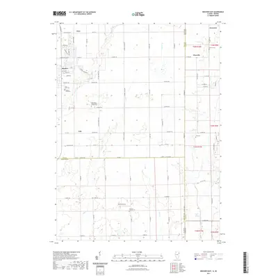
 - 1953 Map of Beecher West, 1955 Print
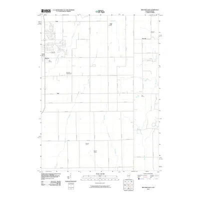
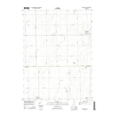
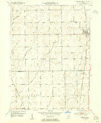 1953 Beecher West1955 Print · USGSThe eastern Illinois prairie near the Kankakee border comes to life in this mid-century survey of the rural landscape. Genealogists and historians can trace the foundations of local life through the St Pauls Ch, Heusing Cem, and several schoolhouses like Sumner Sch.2 unique versions available
 - 1953 Map of Beecher East, 1955 Print
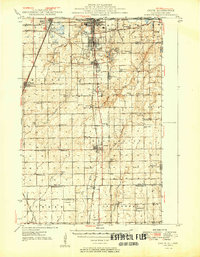
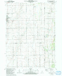
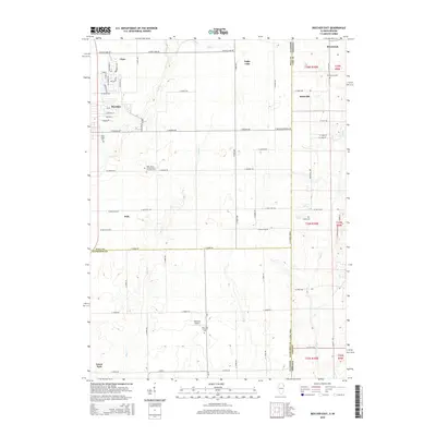
 1953 Beecher East1955 Print · USGSThe Illinois and Indiana borderlands are captured here in the early fifties, showing a rural landscape defined by rail and farm. Genealogists can locate family landmarks like Deeke Sch, St Johns Ch, and the settlements of Klaasville and Beecher.3 unique versions available
 - 1953 Map of Chicago, 1964 Print
 1953 Chicago1964 Print · USGSThe southern Lake Michigan shoreline was rapidly modernizing in the mid-fifties, balancing heavy industry with its famous academic centers. Researchers can trace the footprints of Notre Dame University or locate vanished sites like the Kingsbury Ordnance Plant and Meigs Field.5 unique versions available
 - 1957 Map of Chicago
 1957 Chicago1957 Print · USGSThe industrial heartland and southern Great Lakes shoreline are captured here during the peak of mid-century growth. Researchers can trace the massive Gary Steel Works, the grounds of the University of Notre Dame, and the early paths of the Tri-State Tollway.
 - 1984 Map of Kankakee, 1985 Print
 1984 Kankakee1985 Print · USGSThe Illinois-Indiana borderlands appear here in the early eighties as a landscape of river-centered towns and vast managed wetlands. Genealogists and local historians can trace the grounds of the Kankakee State Hospital, the campus of Olivet Nazarene College, and the sprawling Beaver Lake Wildlife Refuge.
 - 1990 Map of Beecher West, 1991 Print
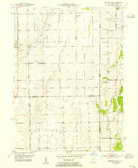
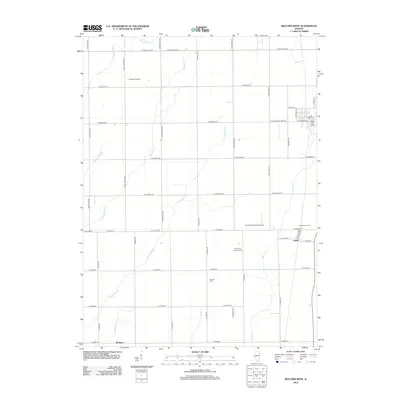
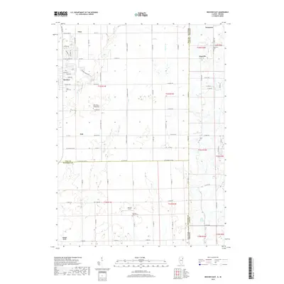
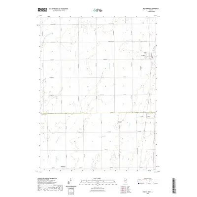
 1990 Beecher West1991 Print · USGSEastern Will County and northern Kankakee County are shown here as the nineteenth-century farm grid met late-century infrastructure. Genealogists can locate family sites near Heusing Cem, St Pauls Ch, or the small rail-side community of Sollitt.
 - 1990 Map of Beecher East, 1991 Print
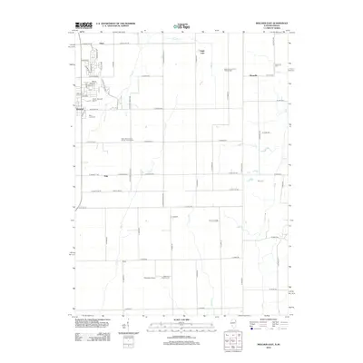
 1990 Beecher East1991 Print · USGSThe Illinois-Indiana borderlands are captured here in the late twentieth century, showing a landscape of small farming communities and country roads. Genealogists and researchers can locate St Pauls Ch, trace the Old Railroad Grade, and find quiet cemeteries like Brunswick Cem.
 - 1991 Map of Kankakee
 1991 Kankakee1991 Print · USGSThe Illinois-Indiana borderlands come into focus during the early nineties, centered on the growing Kankakee valley and its sprawling drainage systems. Trace the rail-and-river economy through landmarks like the Wilton Railroad Grade, the Manteno State Hospital, and the historic Old Pioneer Cem.
 - 2010 Map of Beecher East, 2010 Print
 2010 Beecher East2010 Print · USGSCovers Beecher, including Grant Park, Polk, and other nearby areas
 - 2012 Map of Beecher West, 2012 Print
 2012 Beecher West2012 Print · USGSCovers Beecher, including Grant Park, Sollitt, and other nearby areas
 - 2012 Map of Beecher East, 2012 Print
 2012 Beecher East2012 Print · USGSCovers Beecher, including Grant Park, Polk, and other nearby areas
 - 2015 Map of Beecher East, 2015 Print
 2015 Beecher East2015 Print · USGSCovers Beecher, including Grant Park, Polk, and other nearby areas
 - 2015 Map of Beecher West, 2015 Print
 2015 Beecher West2015 Print · USGSCovers Beecher, including Grant Park, Sollitt, and other nearby areas
 - 2018 Map of Beecher East, 2018 Print
 2018 Beecher East2018 Print · USGSCovers Beecher, including Grant Park, Polk, and other nearby areas
 - 2018 Map of Beecher West, 2018 Print
 2018 Beecher West2018 Print · USGSCovers Beecher, including Grant Park, Sollitt, and other nearby areas
 - 2021 Map of Beecher East, 2021 Print
 2021 Beecher East2021 Print · USGSCovers Beecher, including Grant Park, Polk, and other nearby areas
 - 2021 Map of Beecher West, 2021 Print
 2021 Beecher West2021 Print · USGSCovers Beecher, including Grant Park, Sollitt, and other nearby areas
 - 2024 Map of Beecher East, 2024 Print
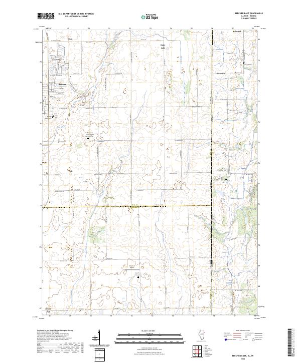 2024 Beecher East2024 Print · USGSThe Illinois-Indiana borderlands east of Beecher are shown here in modern detail, preserving the grid of old township roads and farmstead names. Genealogists can locate several historic burial grounds such as Fuller Cem, Saint Lukes Cem, and the parish site at Klaasville.
 - 2024 Map of Beecher West, 2024 Print
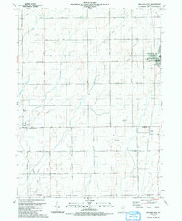
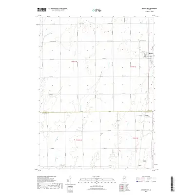
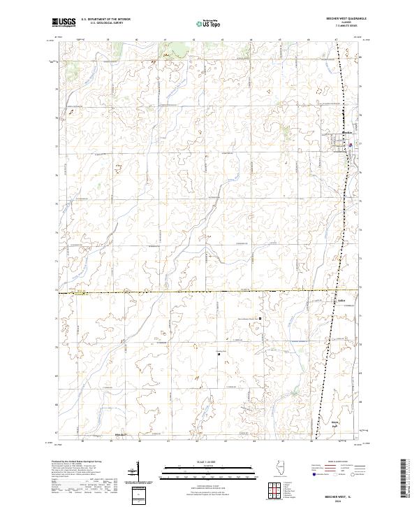 2024 Beecher West2024 Print · USGSThe Illinois prairie along the Will and Kankakee county line is captured here in its modern agricultural context. Researchers can trace family sites near Sollitt and Whitaker, or locate the historic Zion Lutheran Church Cem and Heusing Cem.
End of results
Showing maps 1-20 of 20
Top cities near Beecher
- Kankakee historical maps
- Hammond historical maps
- Gary historical maps
- Orland Park historical maps
- Tinley Park historical maps
- Merrillville historical maps
See more
Frequently asked questions
- What are the different types of historical maps available for Beecher?
- What is the oldest map of Beecher?
- Where can I purchase historical maps of Beecher for my home or office?
- Where can I download high-res historical maps of Beecher?
- Are there historical topographic maps available for Beecher?
- Is there historical aerial imagery available for Beecher?
- Where are historical maps of Beecher sourced from?