2000s (21st Century) Maps of Monee, Illinois
Explore 10 historic maps of Monee from the 2000s (21st Century). These maps offer a rare glimpse into what life looked like during the 2000s — showing old roads, neighborhoods, homes, and landmarks that have changed or disappeared over time.
Whether you're researching your family's past, planning a metal detecting trip, or studying how Monee's landscape evolved across the 2000s, these high-resolution maps are a powerful tool for exploring the history of this region.
- Focus on a specific era: All maps on this page are from the 2000s, giving you a focused view of this time period.
- See what’s changed: Compare century-old streets, trails, and buildings to today's modern landscape using overlays and satellite layers.
- Research with precision: Use these maps for genealogy, historical research, land use analysis, or educational projects.
- View, download, or print: Maps are fully viewable online in high resolution, and can be downloaded or printed for your own records.
Start exploring Monee's history through authentic maps from the 2000s. This is your window into the past.
Monee, IL maps
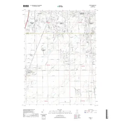
(10)- 2012 Map of Steger, 2012 Print
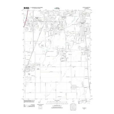 2012 Steger2012 Print · USGSCovers Monee, including Chicago Heights, Park Forest, and other nearby areas
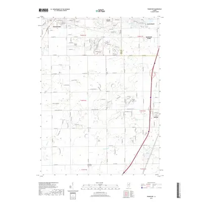
 - 2012 Map of Frankfort, 2012 Print
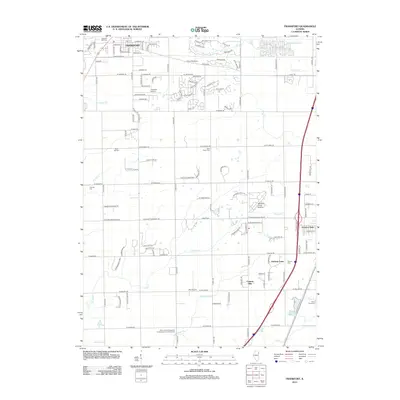 2012 Frankfort2012 Print · USGSCovers Monee, including Frankfort, Matteson, and other nearby areas
 - 2015 Map of Steger, 2015 Print
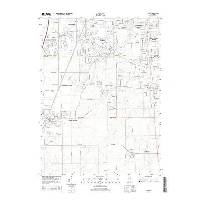 2015 Steger2015 Print · USGSCovers Monee, including Chicago Heights, Park Forest, and other nearby areas
 - 2015 Map of Frankfort, 2015 Print
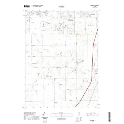
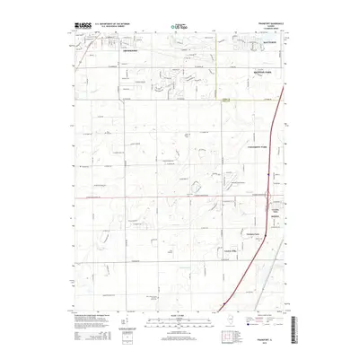 2015 Frankfort2015 Print · USGSCovers Monee, including Frankfort, Matteson, and other nearby areas
 - 2018 Map of Steger, 2018 Print
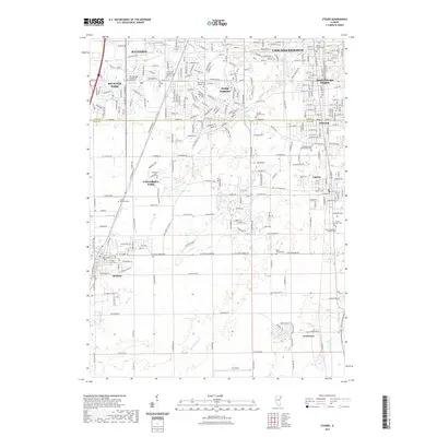
 2018 Steger2018 Print · USGSCovers Monee, including Chicago Heights, Park Forest, and other nearby areas
 - 2018 Map of Frankfort, 2018 Print
 2018 Frankfort2018 Print · USGSCovers Monee, including Frankfort, Matteson, and other nearby areas
 - 2021 Map of Frankfort, 2021 Print
 2021 Frankfort2021 Print · USGSCovers Monee, including Frankfort, Matteson, and other nearby areas
 - 2021 Map of Steger, 2021 Print
 2021 Steger2021 Print · USGSCovers Monee, including Chicago Heights, Park Forest, and other nearby areas
 - 2024 Map of Steger, 2024 Print
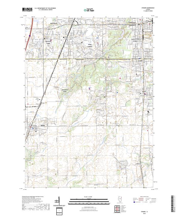 2024 Steger2024 Print · USGSThe borderlands of Cook and Will Counties are captured here in the early 2020s, showing a mix of established suburbs and developing university lands. Genealogists can trace local roots through numerous sites like Bloom Presbyterian Cem and Trinity Lutheran Cem.
 - 2024 Map of Frankfort, 2024 Print
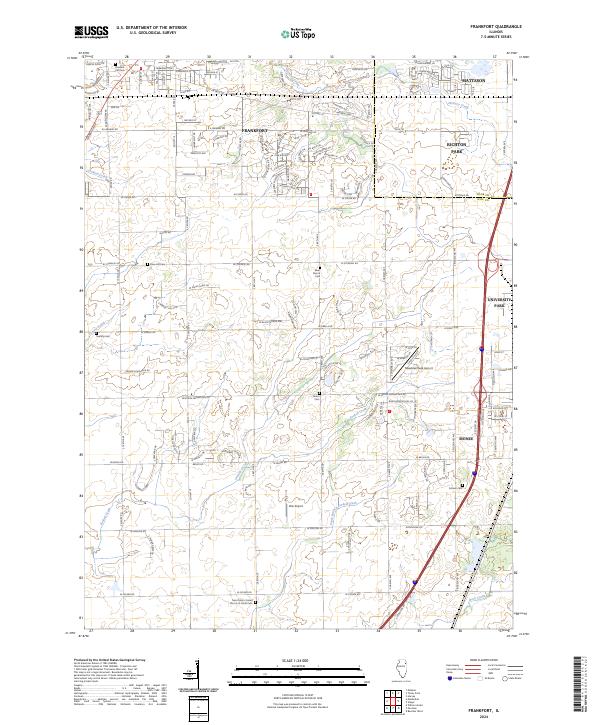 2024 Frankfort2024 Print · USGSThe Will County prairie south of Chicago is captured here as suburban growth meets traditional rural township lines. Researchers can trace family history through sites like Saint Peter's Cem or locate local landmarks like Wix Airport and Meadow Creek Airport.
End of results
Showing maps 1-10 of 10
Top cities near Monee
- Hammond historical maps
- Orland Park historical maps
- Tinley Park historical maps
- Calumet City historical maps
- Lansing historical maps
- Chicago Heights historical maps
See more
Frequently asked questions
- What are the different types of historical maps available for Monee?
- What is the oldest map of Monee?
- Where can I purchase historical maps of Monee for my home or office?
- Where can I download high-res historical maps of Monee?
- Are there historical topographic maps available for Monee?
- Is there historical aerial imagery available for Monee?
- Where are historical maps of Monee sourced from?