2000s (21st Century) Maps of Aspen Falls, Plainfield Township
Explore 10 historic maps of Aspen Falls from the 2000s (21st Century). These maps offer a rare glimpse into what life looked like during the 2000s — showing old roads, neighborhoods, homes, and landmarks that have changed or disappeared over time.
Whether you're researching your family's past, planning a metal detecting trip, or studying how Aspen Falls's landscape evolved across the 2000s, these high-resolution maps are a powerful tool for exploring the history of this region.
- Focus on a specific era: All maps on this page are from the 2000s, giving you a focused view of this time period.
- See what’s changed: Compare century-old streets, trails, and buildings to today's modern landscape using overlays and satellite layers.
- Research with precision: Use these maps for genealogy, historical research, land use analysis, or educational projects.
- View, download, or print: Maps are fully viewable online in high resolution, and can be downloaded or printed for your own records.
Start exploring Aspen Falls's history through authentic maps from the 2000s. This is your window into the past.
Aspen Falls, Plainfield Township maps
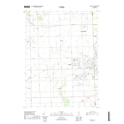
(10)- 2012 Map of Plainfield, 2012 Print
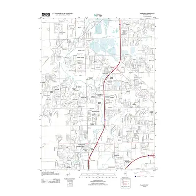 2012 Plainfield2012 Print · USGSCovers Aspen Falls, including Joliet, Plainfield, and other nearby areas
 - 2012 Map of Yorkville SE, 2012 Print
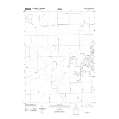 2012 Yorkville SE2012 Print · USGSCovers Aspen Falls, including Joliet, Plainfield, and other nearby areas
 - 2015 Map of Yorkville SE, 2015 Print
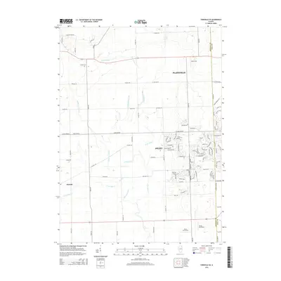 2015 Yorkville SE2015 Print · USGSCovers Aspen Falls, including Joliet, Plainfield, and other nearby areas
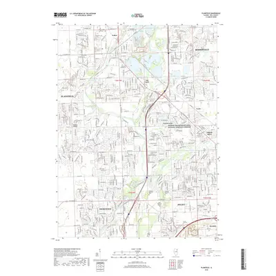
 - 2015 Map of Plainfield, 2015 Print
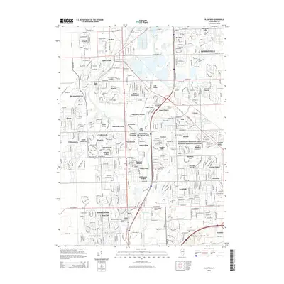 2015 Plainfield2015 Print · USGSCovers Aspen Falls, including Joliet, Plainfield, and other nearby areas
 - 2018 Map of Yorkville SE, 2018 Print
 2018 Yorkville SE2018 Print · USGSCovers Aspen Falls, including Joliet, Plainfield, and other nearby areas
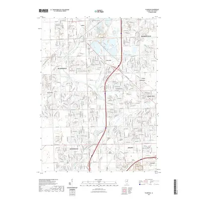
 - 2018 Map of Plainfield, 2018 Print
 2018 Plainfield2018 Print · USGSCovers Aspen Falls, including Joliet, Plainfield, and other nearby areas
 - 2021 Map of Plainfield, 2021 Print
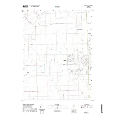
 2021 Plainfield2021 Print · USGSCovers Aspen Falls, including Joliet, Plainfield, and other nearby areas
 - 2021 Map of Yorkville SE, 2021 Print
 2021 Yorkville SE2021 Print · USGSCovers Aspen Falls, including Joliet, Plainfield, and other nearby areas
 - 2024 Map of Yorkville SE, 2024 Print
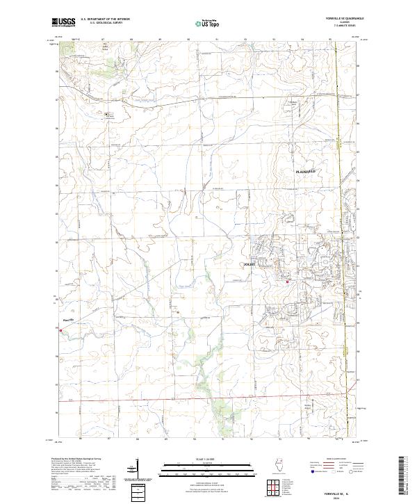 2024 Yorkville SE2024 Print · USGSKendall and Will Counties appear in this contemporary survey as suburban expansion meets traditional Illinois farm country. Local historians can trace family sites near Aux Sable Grove Cem or follow the many branches of Aux Sable Creek near Plattville.
 - 2024 Map of Plainfield, 2024 Print
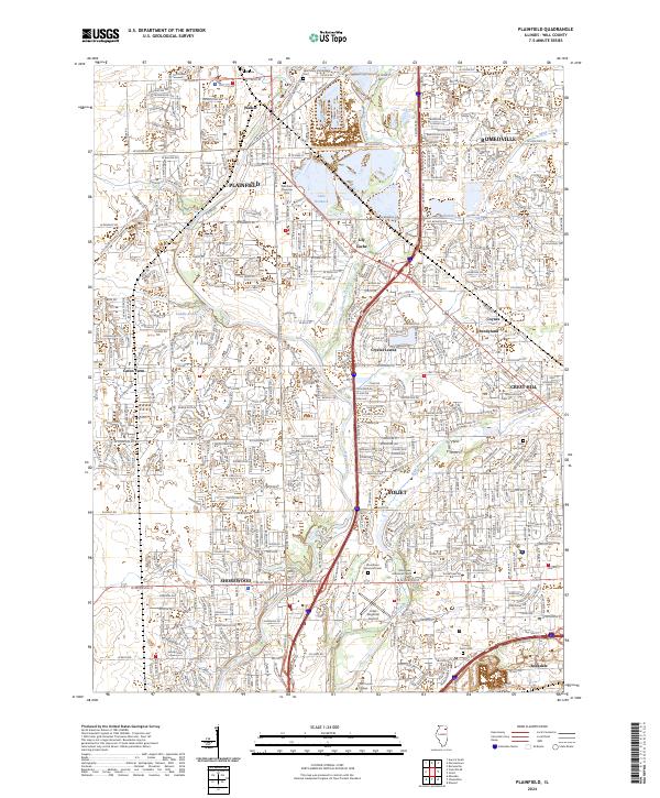 2024 Plainfield2024 Print · USGSWill County’s transition from early agricultural settlements to a dense modern network is fully detailed in this 2024 topographic study. Researchers can trace historical sites like Caton Farm and Walker alongside numerous cemeteries including Plainfield Township Cem and Holy Cross Cem.
End of results
Showing maps 1-10 of 10
Frequently asked questions
- What are the different types of historical maps available for Aspen Falls?
- What is the oldest map of Aspen Falls?
- Where can I purchase historical maps of Aspen Falls for my home or office?
- Where can I download high-res historical maps of Aspen Falls?
- Are there historical topographic maps available for Aspen Falls?
- Is there historical aerial imagery available for Aspen Falls?
- Where are historical maps of Aspen Falls sourced from?