Old Maps of Crab Orchard, Illinois
Explore 18 old maps of Crab Orchard, spanning from 1925 to today. These high-resolution historic maps reveal how streets, neighborhoods, landmarks, and natural features evolved over time — perfect for genealogy, metal detecting, research, and local history exploration.
What you can do with these maps:
- See how Crab Orchard changed over time: Compare historical maps to modern-day views to trace roads, homesites, rail lines & more.
- View detailed metadata: Each map includes creators, publishers, year, scale, and archive source.
- Overlay maps with satellite & LiDAR: Visualize the past alongside modern tools to explore terrain & human change.
- Trusted historical sources: Maps sourced from the USGS, Library of Congress, and other archives.
- Access maps your way: View online, download high-res files, or order prints for personal or research use.
Start exploring old maps of Crab Orchard to uncover forgotten places, hidden landmarks, and the deep history beneath your feet.
Crab Orchard, IL maps
(18)- 1925 Map of Marion
 1925 Marion1925 Print · USGSSouthern Illinois in the mid-twenties was a landscape of coal-country rail hubs and remote ridge-top settlements. Genealogists and historians can trace the network of country schools and churches like Coalbank Springs Church, the industrial footprint of Pilleys Mill, and the rail corridors through Tunnel Hill.3 unique versions available
 - 1940 Map of Marion, 1958 Print
 1940 Marion1958 Print · USGSSouthern Illinois during the early 1940s reveals a landscape defined by its rail junctions and scattered rural schools. Genealogists can trace family roots through sites like Bainbridge Cem, Pulleys Mill, and the many schools like Skaggs School.
 - 1949 Map of Paducah
 1949 Paducah1949 Print · USGSThe confluence of the Ohio, Mississippi, Tennessee, and Cumberland rivers at the close of the 1940s reveals a region bound by water and rail. Researchers can trace historic river landings, timberlands in the Shawnee National Forest, and the coal-mining infrastructure around West Frankfort and Herrin.2 unique versions available
 - 1950 Map of Paducah
 1950 Paducah1950 Print · USGSThe confluence of the great midwestern rivers defines this mid-century landscape at the intersection of Illinois, Kentucky, and Missouri. Genealogists and historians can trace the rail-and-river economy through the hubs of Paducah, Cairo, and Metropolis or locate family roots near the Wildcat Hills.
 - 1954 Map of Paducah
 1954 Paducah1954 Print · USGSSouthern Illinois and Western Kentucky intersect at the great river confluences during this mid-century era of rail and river industry. Genealogists and historians can trace family roots and commerce through river towns like Cairo, Metropolis, and Golconda, or along the tracks of the Illinois Central Railroad.2 unique versions available
 - 1961 Map of Paducah
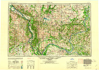 1961 Paducah1961 Print · USGSThe Lower Ohio Valley at mid-century is a landscape defined by its great rivers and newly formed reservoirs. Researchers can trace the riverfronts of Paducah and Metropolis, or locate smaller settlements like Old Shawneetown and Cave in Rock along the banks.2 unique versions available
 - 1964 Map of Paducah
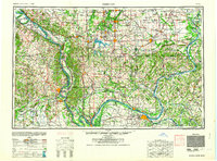 1964 Paducah1964 Print · USGSThe river-and-rail corridor of Southern Illinois and Western Kentucky is captured here during the height of the mid-century industrial era. Genealogists and researchers can trace local landmarks across several counties, from the rail yards of Paducah to the waters of Crab Orchard Lake and Kentucky Reservoir.2 unique versions available
 - 1965 Map of Crab Orchard, 1967 Print
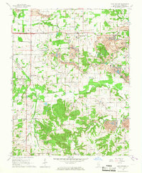 1965 Crab Orchard1967 Print · USGSWilliamson County in the mid-sixties reveals a landscape shaped by coal extraction and a network of rural settlements. Genealogists can locate family names at Old Krieger Cem, Davis Prairie Ch, and the Barbara Kay Mine.2 unique versions available
 - 1984 Map of West Frankfort, 1985 Print
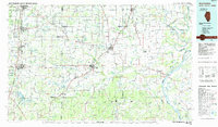 1984 West Frankfort1985 Print · USGSSouthern Illinois at the peak of late-century coal and oil production reveals a complex landscape of industry and conservation. Genealogists and historians can trace rail-served mining hubs like Orient No. 3 Mine and the historic riverfront at Old Shawneetown.
 - 1987 Map of West Frankfort
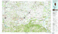 1987 West Frankfort1987 Print · USGSSouthern Illinois in the late eighties shows a landscape defined by the coal and river economies. Researchers can trace the extensive Strip Mine works and historic settlements like Shawneetown and Carriers Mills along the Illinois Central Railroad.
 - 1987 Map of Paducah, 1988 Print
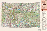 1987 Paducah1988 Print · USGSThe Lower Ohio Valley and the Illinois Ozarks come alive in this late twentieth-century regional survey. Genealogists and local historians can trace river-town roots and state park landmarks from Metropolis to Cape Girardeau and Trail of Tears State Park.
 - 1990 Map of Crab Orchard
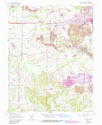 1990 Crab Orchard1990 Print · USGSCoal country in Williamson County is documented here during the late twentieth century as surface mining reshaped the terrain. Genealogists and historians can trace family plots at Pulley Cem and Atwood Cem or follow the Illinois Central Railroad.
 - 1996 Map of Crab Orchard, 1998 Print
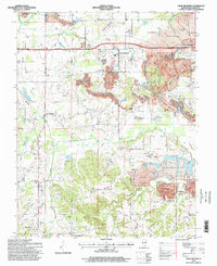 1996 Crab Orchard1998 Print · USGSMid-1990s Williamson County reveals a landscape where rural settlements and mining operations coexist. Genealogists and historians can trace family roots through numerous sites like Bethlehem Cem, New Dennison, and the Delta Mine.
 - 2012 Map of Crab Orchard, 2012 Print
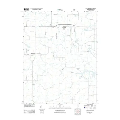 2012 Crab Orchard2012 Print · USGSWilliamson County in the early twenty-first century reveals a landscape defined by the S Fork Saline River and scattered rural communities. Genealogists can trace family connections through numerous sites like Bethlehem Cem, Willeford, and Old Krieger Cem.
 - 2015 Map of Crab Orchard, 2015 Print
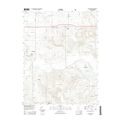 2015 Crab Orchard2015 Print · USGSWilliamson County at the dawn of the twenty-first century remains a landscape of small villages and ancestral burial grounds. Genealogists can trace family roots through numerous sites like Bethlehem Cem, Creal Springs Cem, and the quiet community of Palzo.
 - 2018 Map of Crab Orchard, 2018 Print
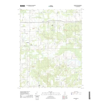 2018 Crab Orchard2018 Print · USGSWilliamson County in the late 2010s reveals a landscape of small rural settlements and an extensive network of historic burial grounds. Researchers can trace family history through sites like Old Krieger Cem and Tanner Cem or locate the junctions of Crab Orchard and New Dennison.
 - 2021 Map of Crab Orchard, 2021 Print
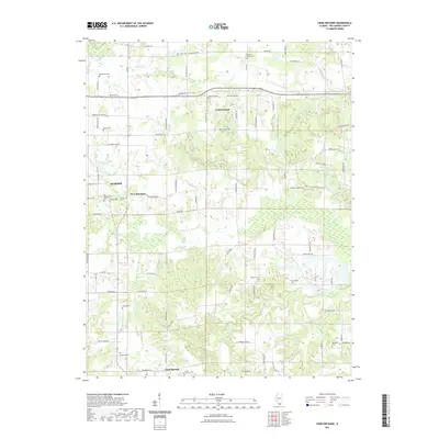 2021 Crab Orchard2021 Print · USGSWilliamson County in the early twenty-first century shows a landscape of established small towns and deep-rooted family history. Genealogists can trace local lineages through numerous sites like Bethlehem Cem, Shed Church, and the streets of Creal Springs.
 - 2024 Map of Crab Orchard, 2024 Print
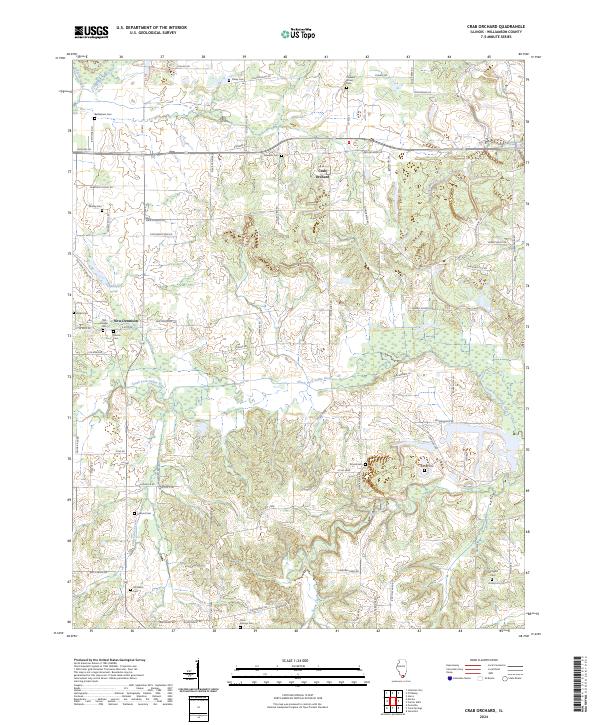 2024 Crab Orchard2024 Print · USGSCrab Orchard and its rural Williamson County surroundings are documented in this contemporary survey, showing the landscape as it appears today. Genealogists and local historians can trace legacy landmarks like Bethlehem Cem, New Dennison, and the winding South Fork Saline River.
End of results
Showing maps 1-18 of 18
Top cities near Crab Orchard
- Marion historical maps
- Herrin historical maps
- West Frankfort historical maps
- Johnston City historical maps
- Carrier Mills historical maps
- Energy historical maps
See more
Frequently asked questions
- What are the different types of historical maps available for Crab Orchard?
- What is the oldest map of Crab Orchard?
- Where can I purchase historical maps of Crab Orchard for my home or office?
- Where can I download high-res historical maps of Crab Orchard?
- Are there historical topographic maps available for Crab Orchard?
- Is there historical aerial imagery available for Crab Orchard?
- Where are historical maps of Crab Orchard sourced from?