Old Maps of Palzo, Illinois for Hiking & Exploration
Hike through history with 18 historic maps of Palzo. Explore old trails, ghost towns, and forgotten backroads — perfect for outdoor adventurers and local explorers.
- Rediscover forgotten places: Map out old mining camps, roads, and footpaths that no longer exist on modern maps.
- Layer with modern tools: Combine with LiDAR or satellite views to plan hikes through historical terrain.
- Made for exploration: Popular among hikers, overlanders, and local history lovers.
Use these maps to find adventure and explore the hidden past of Palzo.
Palzo, IL maps
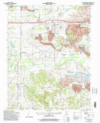
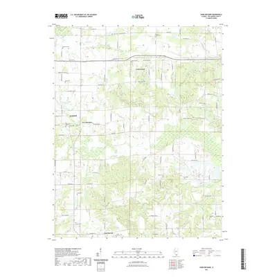
(18)- 1925 Map of Marion
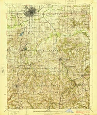 1925 Marion1925 Print · USGSSouthern Illinois in the mid-twenties was a landscape of coal-country rail hubs and remote ridge-top settlements. Genealogists and historians can trace the network of country schools and churches like Coalbank Springs Church, the industrial footprint of Pilleys Mill, and the rail corridors through Tunnel Hill.3 unique versions available
 - 1940 Map of Marion, 1958 Print
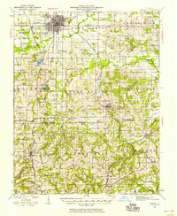 1940 Marion1958 Print · USGSSouthern Illinois during the early 1940s reveals a landscape defined by its rail junctions and scattered rural schools. Genealogists can trace family roots through sites like Bainbridge Cem, Pulleys Mill, and the many schools like Skaggs School.
 - 1949 Map of Paducah
 1949 Paducah1949 Print · USGSThe confluence of the Ohio, Mississippi, Tennessee, and Cumberland rivers at the close of the 1940s reveals a region bound by water and rail. Researchers can trace historic river landings, timberlands in the Shawnee National Forest, and the coal-mining infrastructure around West Frankfort and Herrin.2 unique versions available
 - 1950 Map of Paducah
 1950 Paducah1950 Print · USGSThe confluence of the great midwestern rivers defines this mid-century landscape at the intersection of Illinois, Kentucky, and Missouri. Genealogists and historians can trace the rail-and-river economy through the hubs of Paducah, Cairo, and Metropolis or locate family roots near the Wildcat Hills.
 - 1954 Map of Paducah
 1954 Paducah1954 Print · USGSSouthern Illinois and Western Kentucky intersect at the great river confluences during this mid-century era of rail and river industry. Genealogists and historians can trace family roots and commerce through river towns like Cairo, Metropolis, and Golconda, or along the tracks of the Illinois Central Railroad.2 unique versions available
 - 1961 Map of Paducah
 1961 Paducah1961 Print · USGSThe Lower Ohio Valley at mid-century is a landscape defined by its great rivers and newly formed reservoirs. Researchers can trace the riverfronts of Paducah and Metropolis, or locate smaller settlements like Old Shawneetown and Cave in Rock along the banks.2 unique versions available
 - 1964 Map of Paducah
 1964 Paducah1964 Print · USGSThe river-and-rail corridor of Southern Illinois and Western Kentucky is captured here during the height of the mid-century industrial era. Genealogists and researchers can trace local landmarks across several counties, from the rail yards of Paducah to the waters of Crab Orchard Lake and Kentucky Reservoir.2 unique versions available
 - 1965 Map of Crab Orchard, 1967 Print
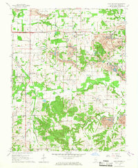 1965 Crab Orchard1967 Print · USGSWilliamson County in the mid-sixties reveals a landscape shaped by coal extraction and a network of rural settlements. Genealogists can locate family names at Old Krieger Cem, Davis Prairie Ch, and the Barbara Kay Mine.2 unique versions available
 - 1984 Map of West Frankfort, 1985 Print
 1984 West Frankfort1985 Print · USGSSouthern Illinois at the peak of late-century coal and oil production reveals a complex landscape of industry and conservation. Genealogists and historians can trace rail-served mining hubs like Orient No. 3 Mine and the historic riverfront at Old Shawneetown.
 - 1987 Map of West Frankfort
 1987 West Frankfort1987 Print · USGSSouthern Illinois in the late eighties shows a landscape defined by the coal and river economies. Researchers can trace the extensive Strip Mine works and historic settlements like Shawneetown and Carriers Mills along the Illinois Central Railroad.
 - 1987 Map of Paducah, 1988 Print
 1987 Paducah1988 Print · USGSThe Lower Ohio Valley and the Illinois Ozarks come alive in this late twentieth-century regional survey. Genealogists and local historians can trace river-town roots and state park landmarks from Metropolis to Cape Girardeau and Trail of Tears State Park.
 - 1990 Map of Crab Orchard
 1990 Crab Orchard1990 Print · USGSCoal country in Williamson County is documented here during the late twentieth century as surface mining reshaped the terrain. Genealogists and historians can trace family plots at Pulley Cem and Atwood Cem or follow the Illinois Central Railroad.
 - 1996 Map of Crab Orchard, 1998 Print
 1996 Crab Orchard1998 Print · USGSMid-1990s Williamson County reveals a landscape where rural settlements and mining operations coexist. Genealogists and historians can trace family roots through numerous sites like Bethlehem Cem, New Dennison, and the Delta Mine.
 - 2012 Map of Crab Orchard, 2012 Print
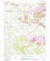
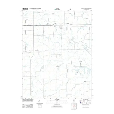 2012 Crab Orchard2012 Print · USGSCovers Palzo, including Marion, Creal Springs, and other nearby areas
 - 2015 Map of Crab Orchard, 2015 Print
 2015 Crab Orchard2015 Print · USGSCovers Palzo, including Marion, Creal Springs, and other nearby areas
 - 2018 Map of Crab Orchard, 2018 Print
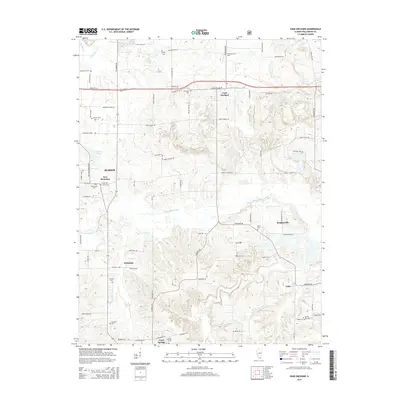
 2018 Crab Orchard2018 Print · USGSCovers Palzo, including Marion, Creal Springs, and other nearby areas
 - 2021 Map of Crab Orchard, 2021 Print
 2021 Crab Orchard2021 Print · USGSCovers Palzo, including Marion, Creal Springs, and other nearby areas
 - 2024 Map of Crab Orchard, 2024 Print
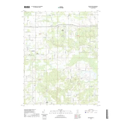
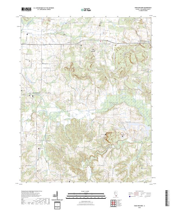 2024 Crab Orchard2024 Print · USGSCrab Orchard and its rural Williamson County surroundings are documented in this contemporary survey, showing the landscape as it appears today. Genealogists and local historians can trace legacy landmarks like Bethlehem Cem, New Dennison, and the winding South Fork Saline River.
End of results
Showing maps 1-18 of 18
Top cities near Palzo
- Marion historical maps
- West Frankfort historical maps
- Harrisburg historical maps
- Johnston City historical maps
- Carrier Mills historical maps
- Vienna historical maps
See more
Frequently asked questions
- What are the different types of historical maps available for Palzo?
- What is the oldest map of Palzo?
- Where can I purchase historical maps of Palzo for my home or office?
- Where can I download high-res historical maps of Palzo?
- Are there historical topographic maps available for Palzo?
- Is there historical aerial imagery available for Palzo?
- Where are historical maps of Palzo sourced from?