Old Maps of Silo Ridge, Machesney Park for Genealogy
Trace your family roots with 24 historic maps of Silo Ridge. These high-res maps reveal old neighborhoods, homesites, landmarks, and streets — helping you uncover where your ancestors lived and how the area evolved over time.
- Explore historic neighborhoods: Identify where your relatives may have lived in the 1800s or 1900s.
- Compare maps over time: Trace the changes in streets, buildings, and landmarks for multi-generational research.
- Perfect for genealogy & ancestry research: Used by family historians and researchers to map out lineage and migration.
These maps are an incredible resource for exploring your personal connection to Silo Ridge's past.
Silo Ridge, Machesney Park maps
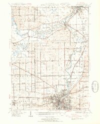
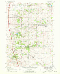
(24)- 1918 Map of Rockford
 1918 Rockford1918 Print · USGSCovers Silo Ridge, including Rockford, Beloit, and other nearby areas3 unique versions available
 - 1918 Map of Belvidere
 1918 Belvidere1918 Print · USGSCovers Silo Ridge, including Rockford, Beloit, and other nearby areas
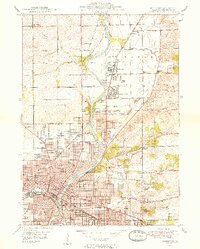
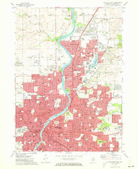
 - 1938 Map of Rockford, 1954 Print
 1938 Rockford1954 Print · USGSCovers Silo Ridge, including Rockford, Beloit, and other nearby areas3 unique versions available
 - 1944 Map of Belvidere
 1944 Belvidere1944 Print · USGSCovers Silo Ridge, including Rockford, Beloit, and other nearby areas2 unique versions available
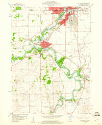
 - 1949 Map of Rockford
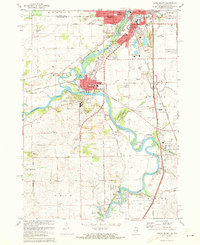
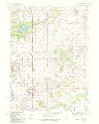
 1949 Rockford1949 Print · USGSCovers Silo Ridge, including Rockford, Loves Park, and other nearby areas2 unique versions available
 - 1954 Map of Rockford
 1954 Rockford1954 Print · USGSCovers Silo Ridge, including Milwaukee, Madison, and other nearby areas
 - 1955 Map of Rockford
 1955 Rockford1955 Print · USGSCovers Silo Ridge, including Milwaukee, Madison, and other nearby areas
 - 1958 Map of Rockford, 1974 Print
 1958 Rockford1974 Print · USGSCovers Silo Ridge, including Milwaukee, Madison, and other nearby areas4 unique versions available
 - 1959 Map of South Beloit, 1960 Print
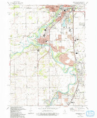
 1959 South Beloit1960 Print · USGSCovers Silo Ridge, including Beloit, Machesney Park, and other nearby areas
 - 1963 Map of Rockford
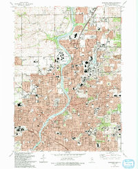
 1963 Rockford1963 Print · USGSCovers Silo Ridge, including Milwaukee, Madison, and other nearby areas
 - 1970 Map of Caledonia, 1972 Print
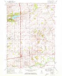 1970 Caledonia1972 Print · USGSCovers Silo Ridge, including Rockford, Belvidere, and other nearby areas2 unique versions available
 - 1970 Map of Belvidere NW, 1972 Print
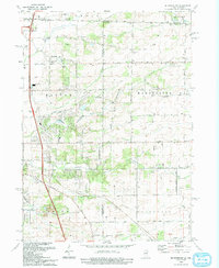
 1970 Belvidere NW1972 Print · USGSCovers Silo Ridge, including Beloit, Machesney Park, and other nearby areas2 unique versions available
 - 1971 Map of Rockford North, 1973 Print
 1971 Rockford North1973 Print · USGSCovers Silo Ridge, including Rockford, Loves Park, and other nearby areas2 unique versions available
 - 1971 Map of South Beloit, 1973 Print
 1971 South Beloit1973 Print · USGSCovers Silo Ridge, including Beloit, Machesney Park, and other nearby areas2 unique versions available
 - 1981 Map of Elgin
 1981 Elgin1981 Print · USGSCovers Silo Ridge, including Rockford, Elgin, and other nearby areas
 - 1981 Map of Rockford
 1981 Rockford1981 Print · USGSCovers Silo Ridge, including Rockford, Beloit, and other nearby areas2 unique versions available
 - 1993 Map of Rockford North
 1993 Rockford North1993 Print · USGSCovers Silo Ridge, including Rockford, Loves Park, and other nearby areas
 - 1993 Map of Caledonia
 1993 Caledonia1993 Print · USGSCovers Silo Ridge, including Rockford, Belvidere, and other nearby areas
 - 1993 Map of Belvidere NW
 1993 Belvidere NW1993 Print · USGSCovers Silo Ridge, including Beloit, Machesney Park, and other nearby areas
 - 1993 Map of South Beloit
 1993 South Beloit1993 Print · USGSCovers Silo Ridge, including Beloit, Machesney Park, and other nearby areas
 - 2024 Map of Caledonia, 2024 Print
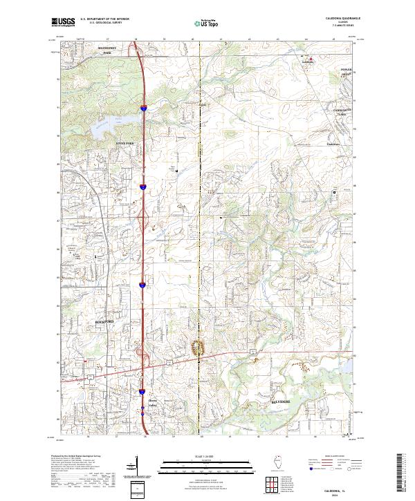 2024 Caledonia2024 Print · USGSCovers Silo Ridge, including Rockford, Belvidere, and other nearby areas
 - 2024 Map of South Beloit, 2024 Print
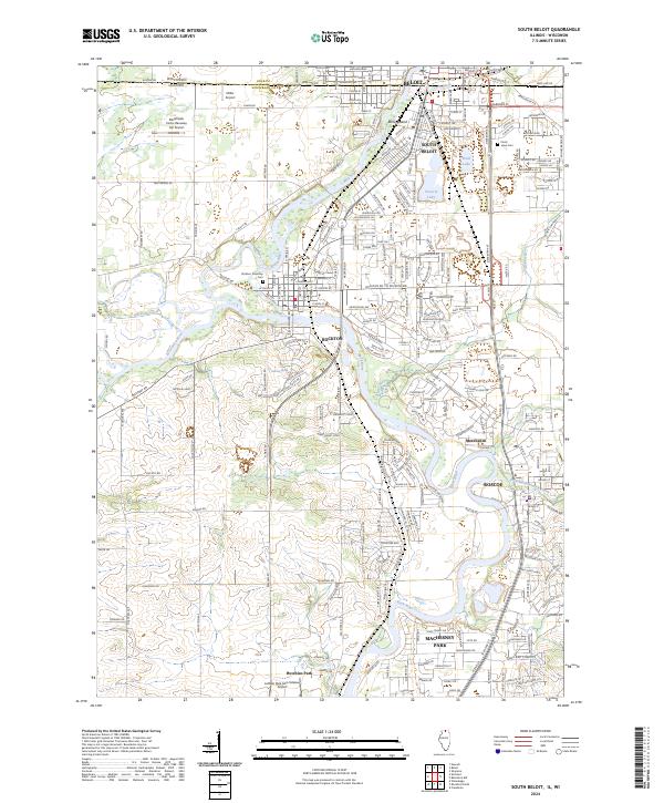 2024 South Beloit2024 Print · USGSCovers Silo Ridge, including Beloit, Machesney Park, and other nearby areas
 - 2024 Map of Rockford North, 2024 Print
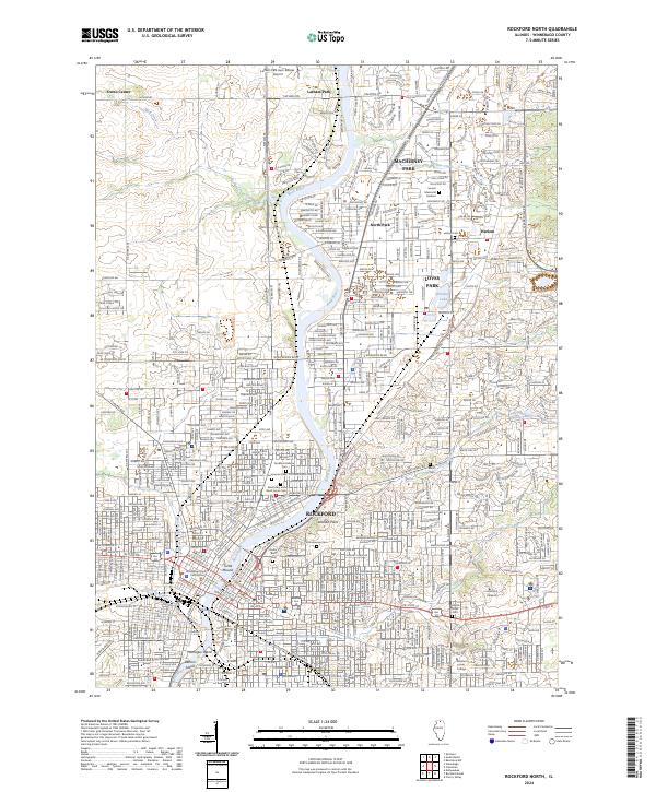 2024 Rockford North2024 Print · USGSCovers Silo Ridge, including Rockford, Loves Park, and other nearby areas
 - 2024 Map of Belvidere NW, 2024 Print
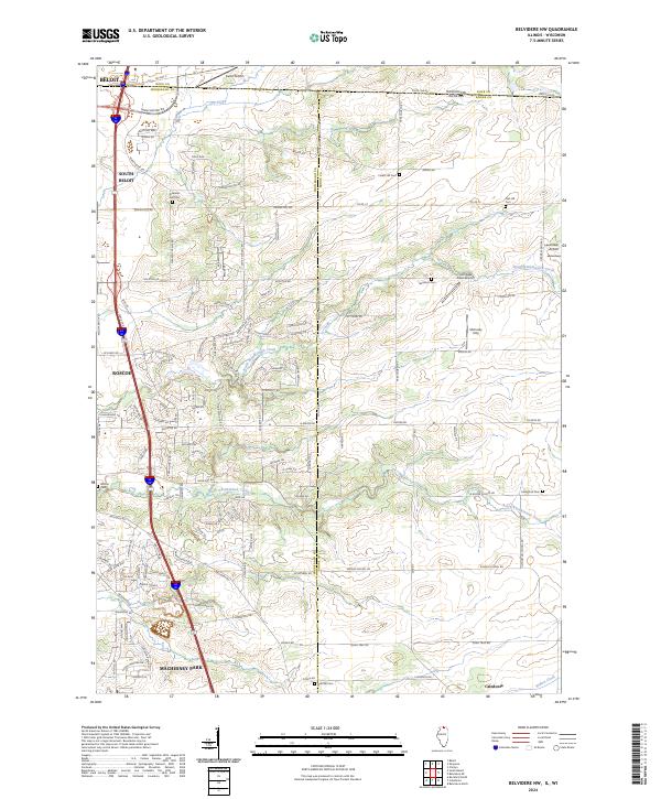 2024 Belvidere NW2024 Print · USGSCovers Silo Ridge, including Beloit, Machesney Park, and other nearby areas
End of results
Showing maps 1-24 of 24
Frequently asked questions
- What are the different types of historical maps available for Silo Ridge?
- What is the oldest map of Silo Ridge?
- Where can I purchase historical maps of Silo Ridge for my home or office?
- Where can I download high-res historical maps of Silo Ridge?
- Are there historical topographic maps available for Silo Ridge?
- Is there historical aerial imagery available for Silo Ridge?
- Where are historical maps of Silo Ridge sourced from?