Old Maps of Batesville, Indiana
Explore 17 old maps of Batesville, spanning from 1946 to today. These high-resolution historic maps reveal how streets, neighborhoods, landmarks, and natural features evolved over time — perfect for genealogy, metal detecting, research, and local history exploration.
What you can do with these maps:
- See how Batesville changed over time: Compare historical maps to modern-day views to trace roads, homesites, rail lines & more.
- View detailed metadata: Each map includes creators, publishers, year, scale, and archive source.
- Overlay maps with satellite & LiDAR: Visualize the past alongside modern tools to explore terrain & human change.
- Trusted historical sources: Maps sourced from the USGS, Library of Congress, and other archives.
- Access maps your way: View online, download high-res files, or order prints for personal or research use.
Start exploring old maps of Batesville to uncover forgotten places, hidden landmarks, and the deep history beneath your feet.
Batesville, IN maps
(17)- 1946 Map of Batesville
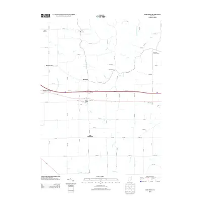
 1946 Batesville1946 Print · USGSSoutheastern Indiana in the mid-forties reveals a landscape of ridge-top farms and rail-oriented commerce along the county line. Genealogy researchers can trace family lands near Oldenburg or locate early industrial footprints in Batesville and Morris.2 unique versions available
 - 1946 Map of New Point
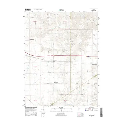
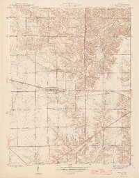 1946 New Point1946 Print · USGSThe Decatur and Franklin county lines meet here in the 1940s, centered on the vital New York Central rail corridor. Genealogy researchers can locate rural family landmarks like Maple Cem, Zion Ch, and the Lipp Sch at the edge of Salt Creek.2 unique versions available
 - 1953 Map of Cincinnati, 1965 Print
 1953 Cincinnati1965 Print · USGSThe Ohio River valley and the industrial heartland of Indiana and Ohio are captured here during the mid-century peak of rail and river commerce. Genealogists and historians can trace connections between Cincinnati and outlying military sites like Camp Atterbury and Bakalar AFB.3 unique versions available
 - 1957 Map of Cincinnati
 1957 Cincinnati1957 Print · USGSThe Ohio River valley and its surrounding highlands thrived during the mid-fifties industrial peak, centered on the bustling Cincinnati and Dayton metropolitan hubs. Researchers can trace the extensive rail networks and military sites like Wright-Patterson AFB and Camp Atterbury.
 - 1961 Map of Batesville, 1963 Print
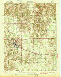
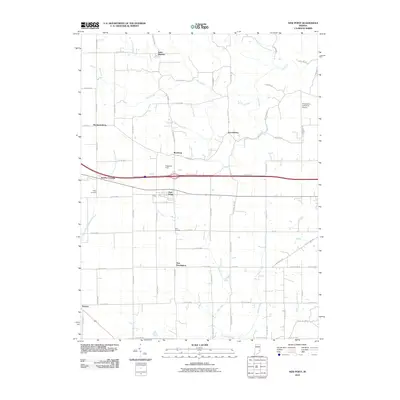
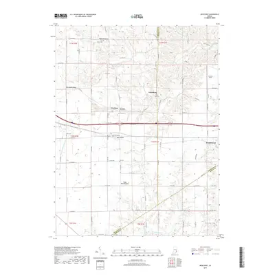
 1961 Batesville1963 Print · USGSBatesville and the surrounding Ripley County countryside are captured here in the early sixties, showing a landscape defined by its German Catholic heritage and rail connections. Researchers can locate family landmarks like Holy Family Ch, St Marys Cem, and the rural junction of Cross Roads.5 unique versions available
 - 1961 Map of New Point, 1963 Print
 1961 New Point1963 Print · USGSSoutheastern Indiana's agricultural heartland is documented here in the early sixties, centered on the railroad town of New Point. Researchers can trace the New York Central line through Rossburg and locate rural landmarks like Zion Ch and Enochsburg.4 unique versions available
 - 1986 Map of Greensburg
 1986 Greensburg1986 Print · USGSSoutheastern Indiana in the mid-eighties shows a balance of growing industrial centers and deeply rooted rural communities. Family historians can trace landmarks like the Highland Center School, South Park Cemetery, and the Bartholomew County Courthouse among the river forks.2 unique versions available
 - 2010 Map of New Point, 2010 Print
 2010 New Point2010 Print · USGSCovers Batesville, including New Point, New Pennington, and other nearby areas
 - 2010 Map of Batesville, 2010 Print
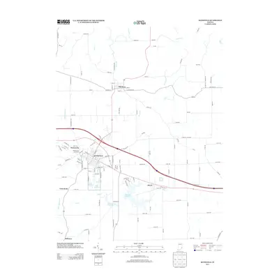
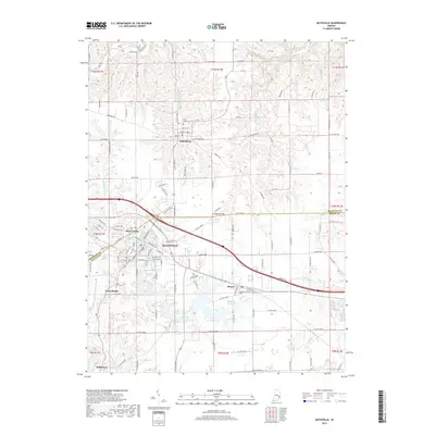
 2010 Batesville2010 Print · USGSCovers Batesville, including Oldenburg, Huntersville, and other nearby areas
 - 2013 Map of New Point, 2013 Print
 2013 New Point2013 Print · USGSCovers Batesville, including New Point, New Pennington, and other nearby areas
 - 2013 Map of Batesville, 2013 Print
 2013 Batesville2013 Print · USGSCovers Batesville, including Oldenburg, Huntersville, and other nearby areas
 - 2016 Map of New Point, 2016 Print
 2016 New Point2016 Print · USGSCovers Batesville, including New Point, New Pennington, and other nearby areas
 - 2016 Map of Batesville, 2016 Print
 2016 Batesville2016 Print · USGSCovers Batesville, including Oldenburg, Huntersville, and other nearby areas
 - 2019 Map of New Point, 2019 Print
 2019 New Point2019 Print · USGSCovers Batesville, including New Point, New Pennington, and other nearby areas
 - 2019 Map of Batesville, 2019 Print
 2019 Batesville2019 Print · USGSCovers Batesville, including Oldenburg, Huntersville, and other nearby areas
 - 2022 Map of New Point, 2022 Print
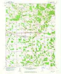
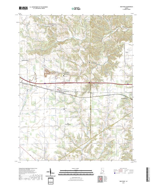 2022 New Point2022 Print · USGSDecatur County's rural townships and crossroads settlements are documented here in the early twenty-first century. Genealogists can trace family connections through numerous local sites like Old Rossburg Church Cem, Saint Maurice, and Enochsburg.
 - 2022 Map of Batesville, 2022 Print
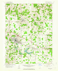
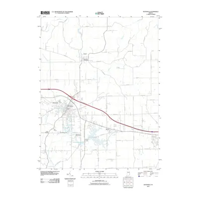
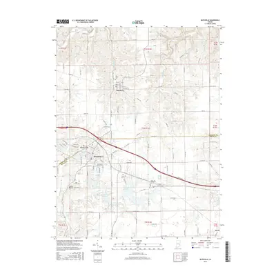
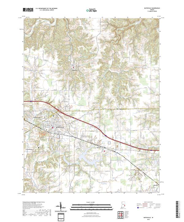 2022 Batesville2022 Print · USGSSoutheastern Indiana's industrial and educational landscape is detailed here in the early twenty-first century. Researchers can trace family history at Saint Louis Cem or locate community landmarks in Oldenburg and Batesville.
End of results
Showing maps 1-17 of 17
Top cities near Batesville
- Sparta historical maps
- Brookville historical maps
- Versailles historical maps
- Milan historical maps
- Osgood historical maps
- Delaware historical maps
See more
Top neighborhoods of Batesville
Frequently asked questions
- What are the different types of historical maps available for Batesville?
- What is the oldest map of Batesville?
- Where can I purchase historical maps of Batesville for my home or office?
- Where can I download high-res historical maps of Batesville?
- Are there historical topographic maps available for Batesville?
- Is there historical aerial imagery available for Batesville?
- Where are historical maps of Batesville sourced from?