Old Maps of Saint Leon, Kelso Township
Explore 18 old maps of Saint Leon, spanning from 1915 to today. These high-resolution historic maps reveal how streets, neighborhoods, landmarks, and natural features evolved over time — perfect for genealogy, metal detecting, research, and local history exploration.
What you can do with these maps:
- See how Saint Leon changed over time: Compare historical maps to modern-day views to trace roads, homesites, rail lines & more.
- View detailed metadata: Each map includes creators, publishers, year, scale, and archive source.
- Overlay maps with satellite & LiDAR: Visualize the past alongside modern tools to explore terrain & human change.
- Trusted historical sources: Maps sourced from the USGS, Library of Congress, and other archives.
- Access maps your way: View online, download high-res files, or order prints for personal or research use.
Start exploring old maps of Saint Leon to uncover forgotten places, hidden landmarks, and the deep history beneath your feet.
Saint Leon, Kelso Township maps
(18)- 1915 Map of Harrison
 1915 Harrison1915 Print · USGSThe Indiana-Ohio borderlands come into focus during the mid-teens, showing a landscape of river-valley settlements and rural school districts. Genealogists can locate family landmarks like Vannatta School, Davis School, and the village of Okeana along the Dry Fork.
 - 1953 Map of Cincinnati, 1965 Print
 1953 Cincinnati1965 Print · USGSThe Ohio River valley and the industrial heartland of Indiana and Ohio are captured here during the mid-century peak of rail and river commerce. Genealogists and historians can trace connections between Cincinnati and outlying military sites like Camp Atterbury and Bakalar AFB.3 unique versions available
 - 1955 Map of Cedar Grove, 1957 Print
 1955 Cedar Grove1957 Print · USGSThe Whitewater River valley in the mid-1950s reveals a network of riverside rail towns and upland farmsteads. Trace the paths of the New York Central Line through New Trenton and locate family landmarks like St Paul Cem Ch.
 - 1957 Map of Cincinnati
 1957 Cincinnati1957 Print · USGSThe Ohio River valley and its surrounding highlands thrived during the mid-fifties industrial peak, centered on the bustling Cincinnati and Dayton metropolitan hubs. Researchers can trace the extensive rail networks and military sites like Wright-Patterson AFB and Camp Atterbury.
 - 1958 Map of Spades, 1959 Print
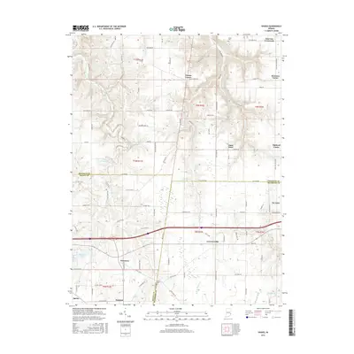
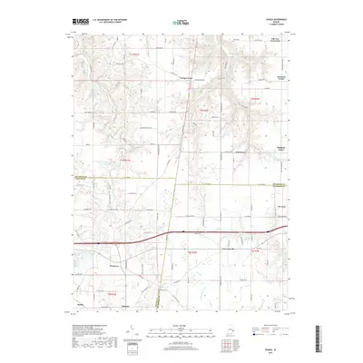
 1958 Spades1959 Print · USGSSoutheastern Indiana in the late fifties was a patchwork of parish settlements and historic boundaries, notably the Greenville Treaty Line. Genealogists can trace family footprints through numerous landmarks like Klemmes Corner, St Stephens Ch, and the town of Spades.3 unique versions available
 - 1974 Map of Cedar Grove, 1975 Print
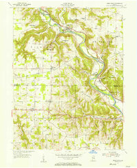
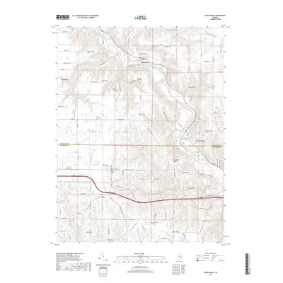
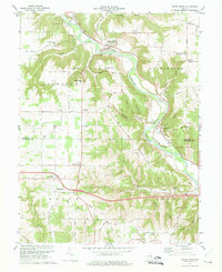 1974 Cedar Grove1975 Print · USGSThe Whitewater River valley in the mid-1970s shows a landscape of riverfront rail towns and high ridge farms. Researchers can trace family sites near Saint Leon or locate local landmarks like Smyrna Ch and the Penn Central railroad line.4 unique versions available
 - 1986 Map of Cincinnati
 1986 Cincinnati1986 Print · USGSGreater Cincinnati and its tri-state surrounds are captured here in the mid-eighties as suburban growth reached into the neighboring hills and river valleys. Researchers can trace the development of transit hubs like Greater Cincinnati International Airport and historic sites such as Spring Grove Cemetery.3 unique versions available
 - 1986 Map of Greensburg
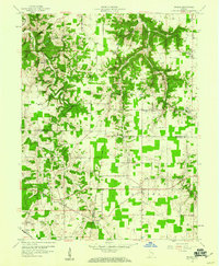
 1986 Greensburg1986 Print · USGSSoutheastern Indiana in the mid-eighties shows a balance of growing industrial centers and deeply rooted rural communities. Family historians can trace landmarks like the Highland Center School, South Park Cemetery, and the Bartholomew County Courthouse among the river forks.2 unique versions available
 - 2010 Map of Cedar Grove, 2010 Print
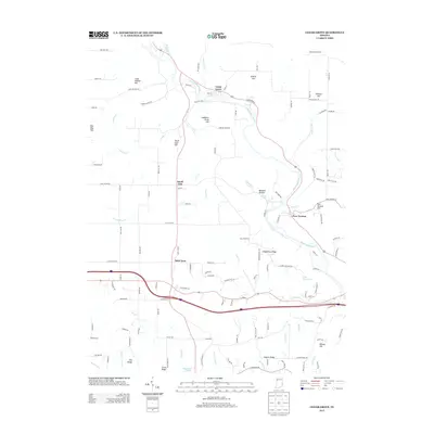
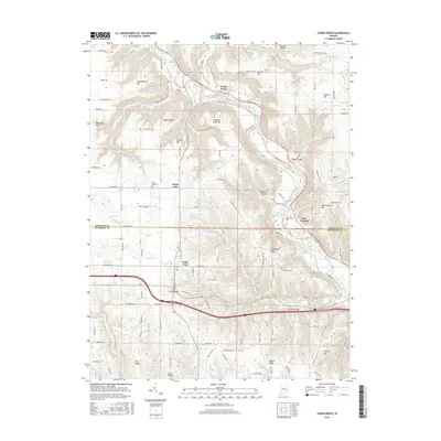
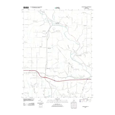 2010 Cedar Grove2010 Print · USGSCovers Saint Leon, including Cedar Grove, New Trenton, and other nearby areas
 - 2010 Map of Spades, 2010 Print
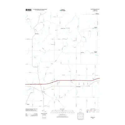
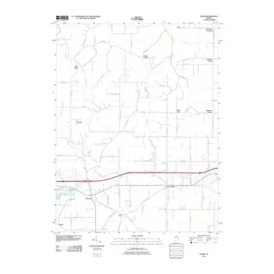 2010 Spades2010 Print · USGSCovers Saint Leon, including Sunman, Youngs Corner, and other nearby areas
 - 2013 Map of Cedar Grove, 2013 Print
 2013 Cedar Grove2013 Print · USGSCovers Saint Leon, including Cedar Grove, New Trenton, and other nearby areas
 - 2013 Map of Spades, 2013 Print
 2013 Spades2013 Print · USGSCovers Saint Leon, including Sunman, Youngs Corner, and other nearby areas
 - 2016 Map of Cedar Grove, 2016 Print
 2016 Cedar Grove2016 Print · USGSCovers Saint Leon, including Cedar Grove, New Trenton, and other nearby areas
 - 2016 Map of Spades, 2016 Print
 2016 Spades2016 Print · USGSCovers Saint Leon, including Sunman, Youngs Corner, and other nearby areas
 - 2019 Map of Spades, 2019 Print
 2019 Spades2019 Print · USGSCovers Saint Leon, including Sunman, Youngs Corner, and other nearby areas
 - 2019 Map of Cedar Grove, 2019 Print
 2019 Cedar Grove2019 Print · USGSCovers Saint Leon, including Cedar Grove, New Trenton, and other nearby areas
 - 2022 Map of Spades, 2022 Print
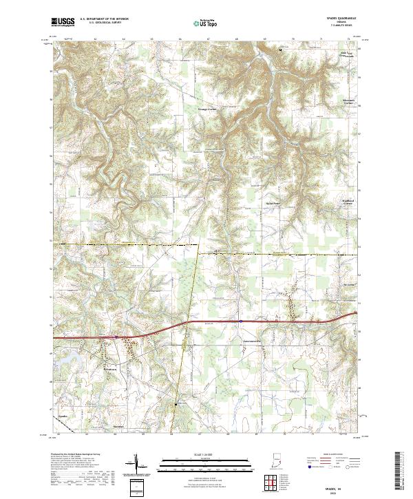 2022 Spades2022 Print · USGSSoutheastern Indiana's rural character is on full display here, where the borders of Franklin, Ripley, and Dearborn counties converge. Researchers can trace family roots through small junctions like Klemmes Corner and Penntown, or locate burials at Usher Cem and Alden Cem.
 - 2022 Map of Cedar Grove, 2022 Print
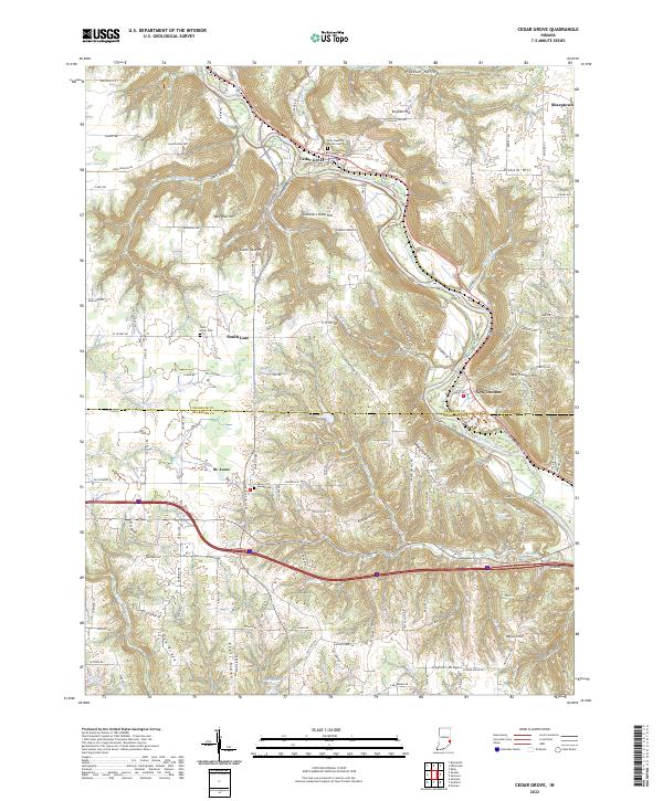 2022 Cedar Grove2022 Print · USGSSoutheastern Indiana's river valleys and ridgelines are captured here in the early twenty-first century as the landscape straddles the Franklin and Dearborn county line. Researchers can locate family roots at Holy Guardian Angels Cem or trace the old paths near Cedar Grove and South Gate.
End of results
Showing maps 1-18 of 18
Top cities near Saint Leon
- Oxford historical maps
- Harrison historical maps
- Batesville historical maps
- Lawrenceburg historical maps
- Greendale historical maps
- Aurora historical maps
See more
Frequently asked questions
- What are the different types of historical maps available for Saint Leon?
- What is the oldest map of Saint Leon?
- Where can I purchase historical maps of Saint Leon for my home or office?
- Where can I download high-res historical maps of Saint Leon?
- Are there historical topographic maps available for Saint Leon?
- Is there historical aerial imagery available for Saint Leon?
- Where are historical maps of Saint Leon sourced from?