Old Maps of Fowler, Indiana for Hiking & Exploration
Hike through history with 17 historic maps of Fowler. Explore old trails, ghost towns, and forgotten backroads — perfect for outdoor adventurers and local explorers.
- Rediscover forgotten places: Map out old mining camps, roads, and footpaths that no longer exist on modern maps.
- Layer with modern tools: Combine with LiDAR or satellite views to plan hikes through historical terrain.
- Made for exploration: Popular among hikers, overlanders, and local history lovers.
Use these maps to find adventure and explore the hidden past of Fowler.
Fowler, IN maps
(17)- 1953 Map of Danville, 1965 Print
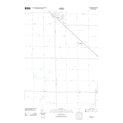
 1953 Danville1965 Print · USGSIndiana and Illinois crossroads come to life in this mid-century survey as the interstate era begins to reshape the river-and-rail landscape. Genealogists and collectors can trace the historic paths of the Nickel Plate railroad or locate smaller communities like Veedersburg, Goodland, and Bismarck.3 unique versions available
 - 1955 Map of Danville
 1955 Danville1955 Print · USGSThe Indiana-Illinois borderlands during the mid-fifties reveal a landscape of thriving rail hubs and university towns. Researchers can trace the legacy of Purdue University, the Tippecanoe Battlefield, and the path of the Pennsylvania RR.
 - 1956 Map of Danville
 1956 Danville1956 Print · USGSMid-century Indiana and Illinois are captured here as the river-and-rail economy evolved into the modern highway era. Researchers can trace ancestral roots and old transport lines through Logansport, Battle Ground, and the dams at Lake Shafer.
 - 1962 Map of Wadena, 1963 Print
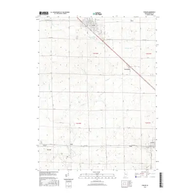
 1962 Wadena1963 Print · USGSBenton County agriculture and rail transit are captured here in the early sixties as the landscape supported a thriving grain-shipping economy. Researchers can locate the Township Sch in Wadena, the Dehner Cem, and traces of an Old Railroad Grade.2 unique versions available
 - 1962 Map of Fowler, 1964 Print
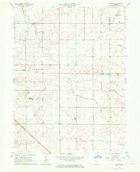
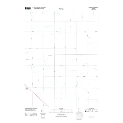
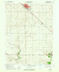 1962 Fowler1964 Print · USGSMid-century Benton County is a landscape of thriving rail towns and quiet prairie drainages. Researchers can trace family ties at Perigo Cem or follow the path of the New York Central Railroad through Fowler and Swanington.2 unique versions available
 - 1984 Map of Watseka, 1985 Print
 1984 Watseka1985 Print · USGSThe Illinois-Indiana borderlands thrived on a dense rail and river network during the mid-eighties. Genealogists and local historians can trace the foundations of rural life through landmarks like St Josephs College, the Iroquois Hospital, and towns like Milford and Beaverville.
 - 1990 Map of Watseka, 1991 Print
 1990 Watseka1991 Print · USGSThe Illinois and Indiana borderlands are captured here in the early nineties, showing a landscape defined by prairie drainage and rail lines. You can trace family roots through settlements like L'Erable and Raub or locate landmarks such as Saint Josephs College.
 - 2010 Map of Fowler, 2010 Print
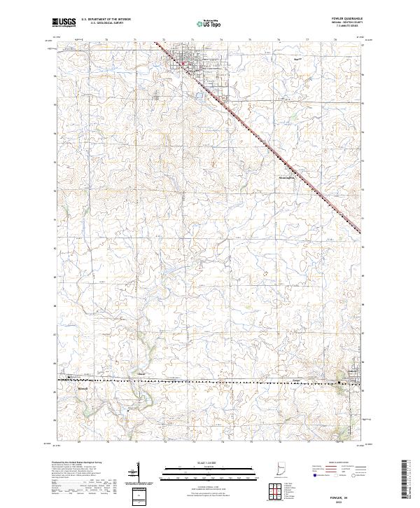
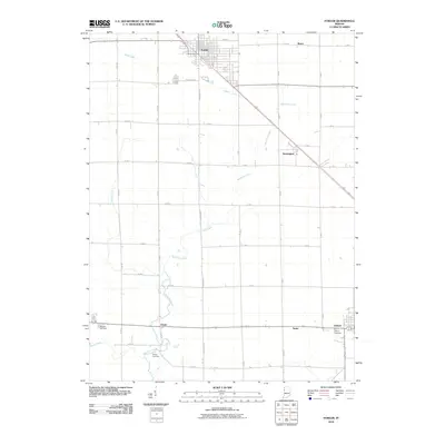 2010 Fowler2010 Print · USGSCovers Fowler, including Oxford, Swanington, and other nearby areas
 - 2010 Map of Wadena, 2010 Print
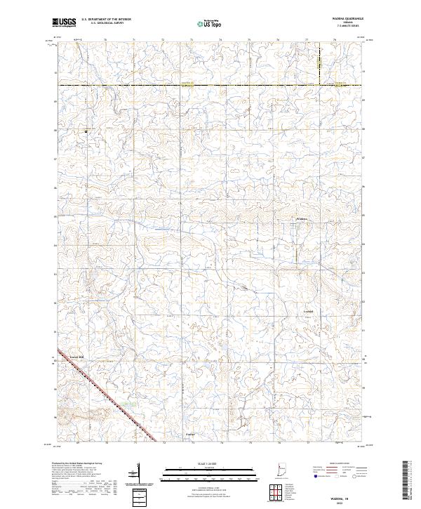
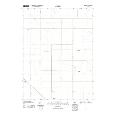 2010 Wadena2010 Print · USGSCovers Fowler, including Wadena, Gravel Hill, and other nearby areas
 - 2013 Map of Wadena, 2013 Print
 2013 Wadena2013 Print · USGSCovers Fowler, including Wadena, Gravel Hill, and other nearby areas
 - 2013 Map of Fowler, 2013 Print
 2013 Fowler2013 Print · USGSCovers Fowler, including Oxford, Swanington, and other nearby areas
 - 2016 Map of Fowler, 2016 Print
 2016 Fowler2016 Print · USGSCovers Fowler, including Oxford, Swanington, and other nearby areas
 - 2016 Map of Wadena, 2016 Print
 2016 Wadena2016 Print · USGSCovers Fowler, including Wadena, Gravel Hill, and other nearby areas
 - 2019 Map of Wadena, 2019 Print
 2019 Wadena2019 Print · USGSCovers Fowler, including Wadena, Gravel Hill, and other nearby areas
 - 2019 Map of Fowler, 2019 Print
 2019 Fowler2019 Print · USGSCovers Fowler, including Oxford, Swanington, and other nearby areas
 - 2022 Map of Wadena, 2022 Print
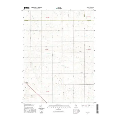
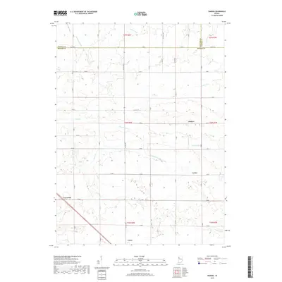
 2022 Wadena2022 Print · USGSBenton County farmland is captured here in the modern era, showing the intersection of rural agriculture and traditional crossroads. Genealogists and local historians can trace family land near Lochiel, the Dehner Cem, or the small community of Wadena.
 - 2022 Map of Fowler, 2022 Print
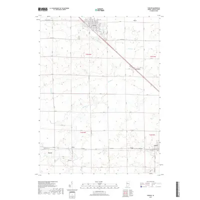
 2022 Fowler2022 Print · USGSBenton County agriculture and rail-side settlements are the focus of this recent topographic study of the Indiana plains. Genealogists and local historians can trace legacy sites like the Benton County Courthouse, Perigo Cem, and the small community of Swanington.
End of results
Showing maps 1-17 of 17
Top cities near Fowler
- Kentland historical maps
- Remington historical maps
- Oxford historical maps
- Otterbein historical maps
- Goodland historical maps
- Boswell historical maps
See more
Frequently asked questions
- What are the different types of historical maps available for Fowler?
- What is the oldest map of Fowler?
- Where can I purchase historical maps of Fowler for my home or office?
- Where can I download high-res historical maps of Fowler?
- Are there historical topographic maps available for Fowler?
- Is there historical aerial imagery available for Fowler?
- Where are historical maps of Fowler sourced from?