2000s (21st Century) Maps of Royal Center, Indiana
Explore 10 historic maps of Royal Center from the 2000s (21st Century). These maps offer a rare glimpse into what life looked like during the 2000s — showing old roads, neighborhoods, homes, and landmarks that have changed or disappeared over time.
Whether you're researching your family's past, planning a metal detecting trip, or studying how Royal Center's landscape evolved across the 2000s, these high-resolution maps are a powerful tool for exploring the history of this region.
- Focus on a specific era: All maps on this page are from the 2000s, giving you a focused view of this time period.
- See what’s changed: Compare century-old streets, trails, and buildings to today's modern landscape using overlays and satellite layers.
- Research with precision: Use these maps for genealogy, historical research, land use analysis, or educational projects.
- View, download, or print: Maps are fully viewable online in high resolution, and can be downloaded or printed for your own records.
Start exploring Royal Center's history through authentic maps from the 2000s. This is your window into the past.
Royal Center, IN maps
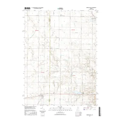
(10)- 2010 Map of Burnettsville, 2010 Print
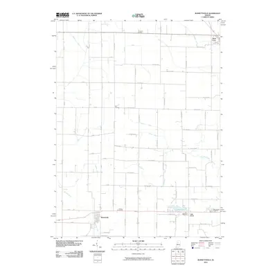 2010 Burnettsville2010 Print · USGSCovers Royal Center, including Burnettsville, Lake Cicott, and other nearby areas
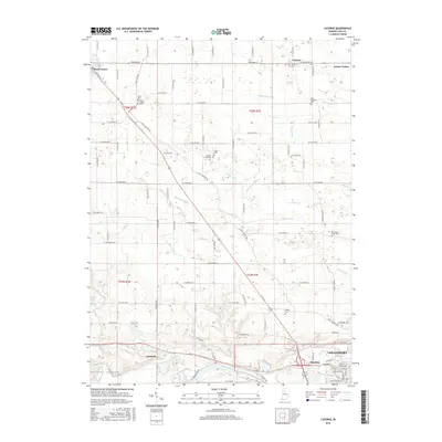
 - 2010 Map of Lucerne, 2010 Print
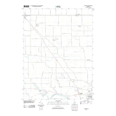 2010 Lucerne2010 Print · USGSCovers Royal Center, including Logansport, Lucerne, and other nearby areas
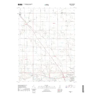
 - 2013 Map of Lucerne, 2013 Print
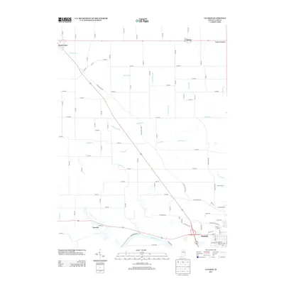 2013 Lucerne2013 Print · USGSCovers Royal Center, including Logansport, Lucerne, and other nearby areas
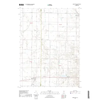
 - 2013 Map of Burnettsville, 2013 Print
 2013 Burnettsville2013 Print · USGSCovers Royal Center, including Burnettsville, Lake Cicott, and other nearby areas
 - 2016 Map of Burnettsville, 2016 Print
 2016 Burnettsville2016 Print · USGSCovers Royal Center, including Burnettsville, Lake Cicott, and other nearby areas
 - 2016 Map of Lucerne, 2016 Print
 2016 Lucerne2016 Print · USGSCovers Royal Center, including Logansport, Lucerne, and other nearby areas
 - 2019 Map of Burnettsville, 2019 Print
 2019 Burnettsville2019 Print · USGSCovers Royal Center, including Burnettsville, Lake Cicott, and other nearby areas
 - 2019 Map of Lucerne, 2019 Print
 2019 Lucerne2019 Print · USGSCovers Royal Center, including Logansport, Lucerne, and other nearby areas
 - 2022 Map of Burnettsville, 2022 Print
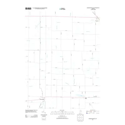
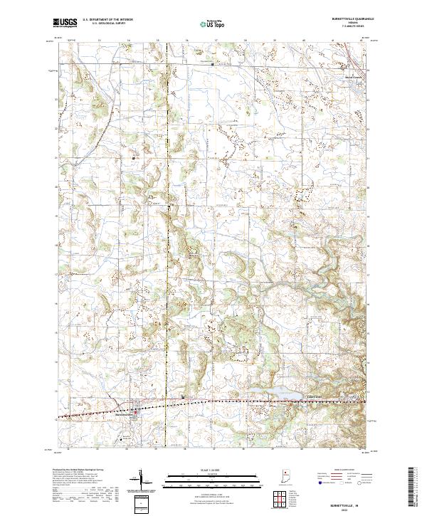 2022 Burnettsville2022 Print · USGSThe borderlands of White and Cass counties are revealed here in the 2020s, showcasing a highly developed agricultural landscape structured by historic ditches and creeks. Researchers can trace family sites at Thompson Cem and Burnetts Creek Cem or locate early settlements like Royal Center and Burnettsville.
 - 2022 Map of Lucerne, 2022 Print
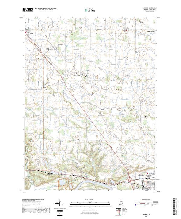 2022 Lucerne2022 Print · USGSNorth of the Wabash River in the early 2020s, this area shows a landscape of agricultural drainage and quiet crossroads. Trace family history at Saint Elizabeth Cem or follow the historic rail corridor along the Panhandle Pathway Trl through Royal Center.
End of results
Showing maps 1-10 of 10
Top cities near Royal Center
- Logansport historical maps
- Winamac historical maps
- Kewanna historical maps
- Burnettsville historical maps
- Yeoman historical maps
Frequently asked questions
- What are the different types of historical maps available for Royal Center?
- What is the oldest map of Royal Center?
- Where can I purchase historical maps of Royal Center for my home or office?
- Where can I download high-res historical maps of Royal Center?
- Are there historical topographic maps available for Royal Center?
- Is there historical aerial imagery available for Royal Center?
- Where are historical maps of Royal Center sourced from?