Old Maps of Walton, Indiana for Academic Research
Study the evolution of Walton with 18 high-resolution historic maps. Whether you're teaching, researching, or modeling changes in land use, these maps provide essential visual documentation of urban, environmental, and geographic change.
- Analyze long-term change: Track patterns in development, transportation, and natural features.
- Ideal for environmental or urban studies: Support academic projects with primary historical map data.
- Use in the classroom or lab: Educators and researchers rely on these maps to bring historical context to life.
These maps are a powerful tool for teaching, research, and visualizing how Walton has changed over the decades.
Walton, IN maps
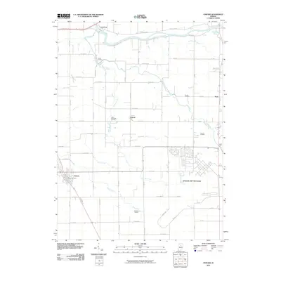
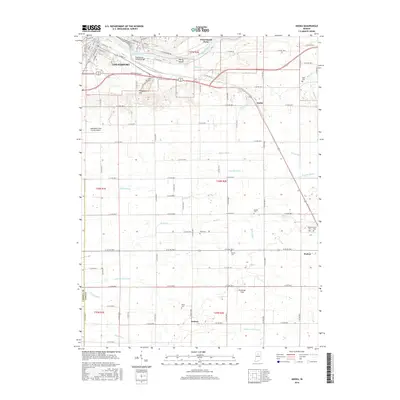
(18)- 1951 Map of Onward
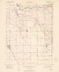 1951 Onward1951 Print · USGSMid-century Cass County is defined here by its intersection of rail and river commerce just as military land use began to shift. Genealogists can trace family names and local sites like Boyer Cem, McNelly Chapel, and the decommissioned Bunker Hill Naval Air Station.2 unique versions available
 - 1953 Map of Danville, 1965 Print
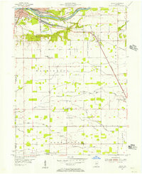
 1953 Danville1965 Print · USGSIndiana and Illinois crossroads come to life in this mid-century survey as the interstate era begins to reshape the river-and-rail landscape. Genealogists and collectors can trace the historic paths of the Nickel Plate railroad or locate smaller communities like Veedersburg, Goodland, and Bismarck.3 unique versions available
 - 1955 Map of Danville
 1955 Danville1955 Print · USGSThe Indiana-Illinois borderlands during the mid-fifties reveal a landscape of thriving rail hubs and university towns. Researchers can trace the legacy of Purdue University, the Tippecanoe Battlefield, and the path of the Pennsylvania RR.
 - 1955 Map of Anoka, 1957 Print
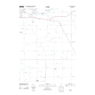
 1955 Anoka1957 Print · USGSThe convergence of the Wabash and Eel rivers at Logansport in the mid-1950s reveals a landscape of industrial hubs and rural townships. Genealogists can trace family roots through numerous sites like Walton Odd Fellows Cem, Blue Ball Ch, and the settlement at Anoka.
 - 1956 Map of Danville
 1956 Danville1956 Print · USGSMid-century Indiana and Illinois are captured here as the river-and-rail economy evolved into the modern highway era. Researchers can trace ancestral roots and old transport lines through Logansport, Battle Ground, and the dams at Lake Shafer.
 - 1963 Map of Onward, 1964 Print
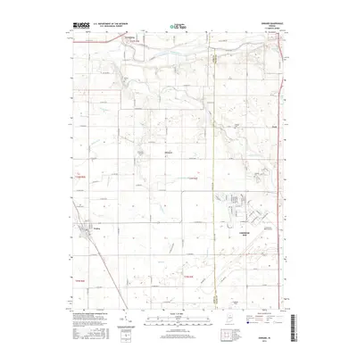
 1963 Onward1964 Print · USGSCass and Miami counties come into focus during the early sixties as military expansion meets rural tradition. Trace the footprint of the Bunker Hill Air Force Base and find local landmarks like Old Order Ch and the Bowyer Cem.3 unique versions available
 - 1972 Map of Anoka, 1974 Print
 1972 Anoka1974 Print · USGSCass County in the early seventies shows the city of Logansport expanding toward the islands of the Wabash River. Genealogists and local researchers can trace family landmarks like Taber Cem, Deacon, and the Penn Central rail line.3 unique versions available
 - 1985 Map of Logansport
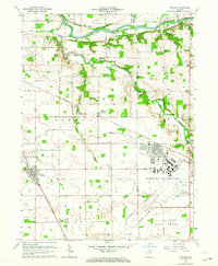
 1985 Logansport1985 Print · USGSNorth-central Indiana in the mid-eighties shows a landscape of river-fed towns and significant military aviation hubs. Genealogists and local historians can trace the rail corridors of the Conrail or locate sites like River View Cem and the crossroads at Twelve Mile.2 unique versions available
 - 2010 Map of Onward, 2010 Print
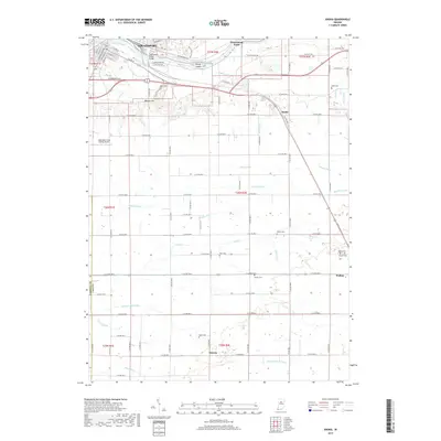
 2010 Onward2010 Print · USGSCovers Walton, including Onward, Nead, and other nearby areas
 - 2010 Map of Anoka, 2010 Print
 2010 Anoka2010 Print · USGSCovers Walton, including Logansport, Deacon, and other nearby areas
 - 2013 Map of Anoka, 2013 Print
 2013 Anoka2013 Print · USGSCovers Walton, including Logansport, Deacon, and other nearby areas
 - 2013 Map of Onward, 2013 Print
 2013 Onward2013 Print · USGSCovers Walton, including Onward, Nead, and other nearby areas
 - 2016 Map of Anoka, 2016 Print
 2016 Anoka2016 Print · USGSCovers Walton, including Logansport, Deacon, and other nearby areas
 - 2016 Map of Onward, 2016 Print
 2016 Onward2016 Print · USGSCovers Walton, including Onward, Nead, and other nearby areas
 - 2019 Map of Onward, 2019 Print
 2019 Onward2019 Print · USGSCovers Walton, including Onward, Nead, and other nearby areas
 - 2019 Map of Anoka, 2019 Print
 2019 Anoka2019 Print · USGSCovers Walton, including Logansport, Deacon, and other nearby areas
 - 2022 Map of Anoka, 2022 Print
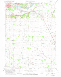
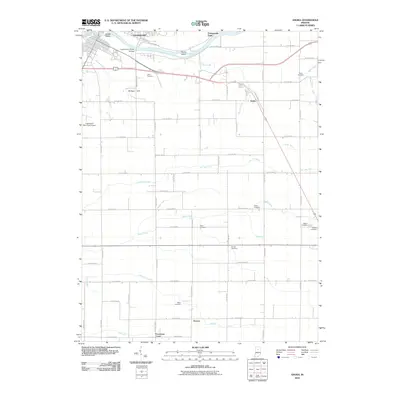
 2022 Anoka2022 Print · USGSSoutheast of Logansport in the 2020s, this area reveals a deep rural landscape of family-named cemeteries and agricultural drainage networks. Researchers can trace ancestral roots at Walton Cem and Ramer Cem or explore the river terrain of Potawatomi Point.
 - 2022 Map of Onward, 2022 Print
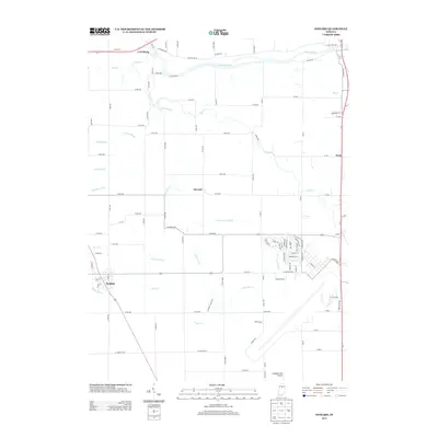
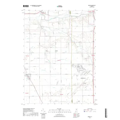
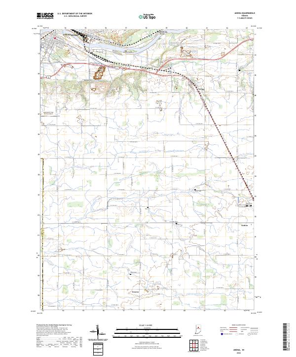
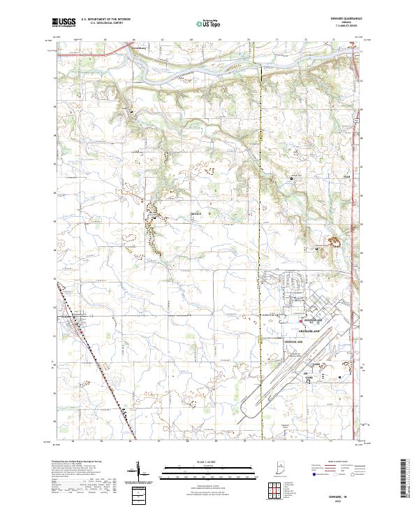 2022 Onward2022 Print · USGSThe rural Cass County landscape is captured here in the early 2020s, a region defined by the intersection of traditional agriculture and the massive Grissom AFB. Researchers can trace old family lines at Bowyer Cemetery or locate the small town centers of Onward and Walton.
End of results
Showing maps 1-18 of 18
Top cities near Walton
- Kokomo historical maps
- Logansport historical maps
- Peru historical maps
- Deer Creek historical maps
- Galveston historical maps
- Bunker Hill historical maps
See more
Frequently asked questions
- What are the different types of historical maps available for Walton?
- What is the oldest map of Walton?
- Where can I purchase historical maps of Walton for my home or office?
- Where can I download high-res historical maps of Walton?
- Are there historical topographic maps available for Walton?
- Is there historical aerial imagery available for Walton?
- Where are historical maps of Walton sourced from?