Old Maps of Henryville, Indiana
Explore 17 old maps of Henryville, spanning from 1949 to today. These high-resolution historic maps reveal how streets, neighborhoods, landmarks, and natural features evolved over time — perfect for genealogy, metal detecting, research, and local history exploration.
What you can do with these maps:
- See how Henryville changed over time: Compare historical maps to modern-day views to trace roads, homesites, rail lines & more.
- View detailed metadata: Each map includes creators, publishers, year, scale, and archive source.
- Overlay maps with satellite & LiDAR: Visualize the past alongside modern tools to explore terrain & human change.
- Trusted historical sources: Maps sourced from the USGS, Library of Congress, and other archives.
- Access maps your way: View online, download high-res files, or order prints for personal or research use.
Start exploring old maps of Henryville to uncover forgotten places, hidden landmarks, and the deep history beneath your feet.
Henryville, IN maps
(17)- 1949 Map of Henryville
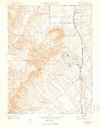 1949 Henryville1949 Print · USGSSouthern Indiana's timbered hills and rural townships are captured here just after the war, showing the deep integration of state conservation and local settlement. Trace family roots at Mt Zion Ch and Mountain Grove Cem, or follow the Pennsylvania rail line through Henryville and Underwood.2 unique versions available
 - 1956 Map of Otisco, 1957 Print
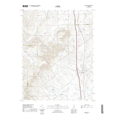
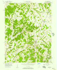 1956 Otisco1957 Print · USGSMid-century Clark County is defined here by the unique diagonal boundaries of the Clark Military Grant and the busy Baltimore and Ohio rail line. Genealogists can locate family sites at Walnut Hill Cem, Clegg Sch, and the small settlement of Marysville.3 unique versions available
 - 1956 Map of Louisville, 1971 Print
 1956 Louisville1971 Print · USGSThe Ohio River valley and the Kentucky Bluegrass are captured here during a period of rapid mid-century growth and industrial activity. Genealogists and historians can trace rail-centered towns and military land use at Fort Knox and the Jefferson Proving Ground.2 unique versions available
 - 1960 Map of Henryville, 1961 Print
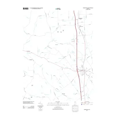
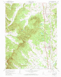 1960 Henryville1961 Print · USGSSouthern Indiana's knobs and forest lands are captured here just as modern conservation efforts and rail transit shaped the local landscape. Genealogists can locate family landmarks like New Chapel Ch, Mt Zion Cem, and the historic Pigeon Roost Memorial.4 unique versions available
 - 1964 Map of Louisville
 1964 Louisville1964 Print · USGSThe Ohio River valley and Kentucky Bluegrass are captured in the mid-1960s, showing a region balanced between industrial growth and its agrarian roots. Genealogists and historians can trace the development of county seats like Shelbyville and Paris, or locate established institutions such as Georgetown College and Bernheim Forest.
 - 1986 Map of Madison
 1986 Madison1986 Print · USGSSouthern Indiana and Northern Kentucky are shown here in the mid-eighties, centered on the river corridor and the sprawling Jefferson Proving Ground. Genealogists and historians can trace rail lines like the Seaboard System and locate river towns from Madison to Bethlehem.
 - 1990 Map of Madison, 1991 Print
 1990 Madison1991 Print · USGSThe Ohio River valley and the southern Indiana plains are documented here in the final decade of the twentieth century. Genealogists and historians can trace family-named crossroads and established rail towns like Dudleytown, Austin, and Crothersville along the P C RR line.
 - 2010 Map of Otisco, 2010 Print
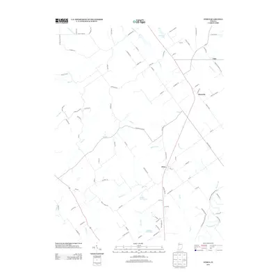
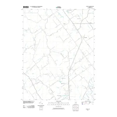 2010 Otisco2010 Print · USGSCovers Henryville, including Otisco, Marysville, and other nearby areas
 - 2010 Map of Henryville, 2010 Print
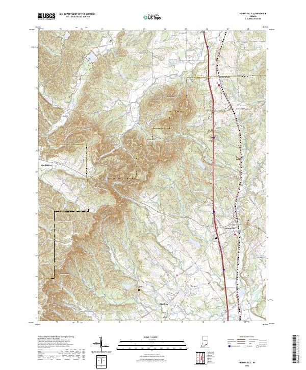
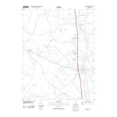 2010 Henryville2010 Print · USGSCovers Henryville, including Pigeon Roost Station, Underwood, and other nearby areas
 - 2013 Map of Otisco, 2013 Print
 2013 Otisco2013 Print · USGSCovers Henryville, including Otisco, Marysville, and other nearby areas
 - 2013 Map of Henryville, 2013 Print
 2013 Henryville2013 Print · USGSCovers Henryville, including Pigeon Roost Station, Underwood, and other nearby areas
 - 2016 Map of Henryville, 2016 Print
 2016 Henryville2016 Print · USGSCovers Henryville, including Pigeon Roost Station, Underwood, and other nearby areas
 - 2016 Map of Otisco, 2016 Print
 2016 Otisco2016 Print · USGSCovers Henryville, including Otisco, Marysville, and other nearby areas
 - 2019 Map of Henryville, 2019 Print
 2019 Henryville2019 Print · USGSCovers Henryville, including Pigeon Roost Station, Underwood, and other nearby areas
 - 2019 Map of Otisco, 2019 Print
 2019 Otisco2019 Print · USGSCovers Henryville, including Otisco, Marysville, and other nearby areas
 - 2022 Map of Henryville, 2022 Print
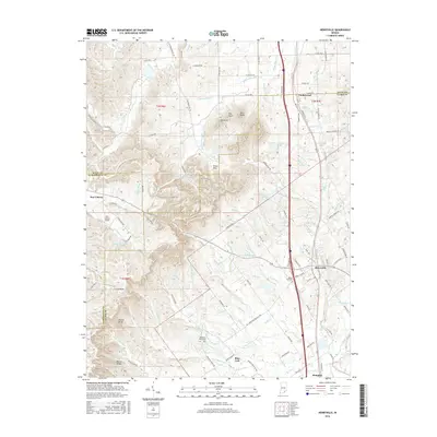
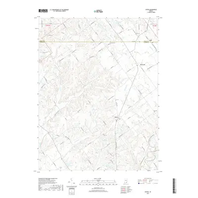
 2022 Henryville2022 Print · USGSSouthern Indiana's high ridges and creek valleys are documented here in the early twenty-first century as the area balances its rural roots with new development. Genealogists and hikers can trace the Clark Sf Horse Trails Trl or locate family sites at Mountain Grove Cem and Mount Zion Cem.
 - 2022 Map of Otisco, 2022 Print
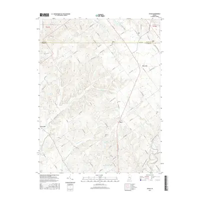
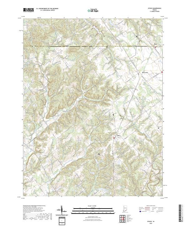 2022 Otisco2022 Print · USGSSouthern Indiana's rural landscape at the Scott and Clark County line is documented here in the early twenty-first century. Genealogists and historians can trace family locations near Otisco, Marysville, and several local burial grounds like Seatick Cem and States Cem.
End of results
Showing maps 1-17 of 17
Top cities near Henryville
- Louisville historical maps
- Jeffersonville historical maps
- New Albany historical maps
- Clarksville historical maps
- Vienna historical maps
- Charlestown historical maps
See more
Frequently asked questions
- What are the different types of historical maps available for Henryville?
- What is the oldest map of Henryville?
- Where can I purchase historical maps of Henryville for my home or office?
- Where can I download high-res historical maps of Henryville?
- Are there historical topographic maps available for Henryville?
- Is there historical aerial imagery available for Henryville?
- Where are historical maps of Henryville sourced from?