2000s (21st Century) Maps of Caesar Creek Township, Indiana
Explore 15 historic maps of Caesar Creek Township from the 2000s (21st Century). These maps offer a rare glimpse into what life looked like during the 2000s — showing old roads, neighborhoods, homes, and landmarks that have changed or disappeared over time.
Whether you're researching your family's past, planning a metal detecting trip, or studying how Caesar Creek Township's landscape evolved across the 2000s, these high-resolution maps are a powerful tool for exploring the history of this region.
- Focus on a specific era: All maps on this page are from the 2000s, giving you a focused view of this time period.
- See what’s changed: Compare century-old streets, trails, and buildings to today's modern landscape using overlays and satellite layers.
- Research with precision: Use these maps for genealogy, historical research, land use analysis, or educational projects.
- View, download, or print: Maps are fully viewable online in high resolution, and can be downloaded or printed for your own records.
Start exploring Caesar Creek Township's history through authentic maps from the 2000s. This is your window into the past.
Caesar Creek Township, IN maps
(15)- 2010 Map of Cross Plains, 2010 Print
 2010 Cross Plains2010 Print · USGSCovers Caesar Creek Township, including Avonburg, Dewberry, and other nearby areas
 - 2010 Map of Bear Branch, 2010 Print
 2010 Bear Branch2010 Print · USGSCovers Caesar Creek Township, including Farmers Retreat, Bear Branch, and other nearby areas
 - 2010 Map of Dillsboro, 2010 Print
 2010 Dillsboro2010 Print · USGSCovers Caesar Creek Township, including Sparta, Milan, and other nearby areas
 - 2013 Map of Dillsboro, 2013 Print
 2013 Dillsboro2013 Print · USGSCovers Caesar Creek Township, including Sparta, Milan, and other nearby areas
 - 2013 Map of Cross Plains, 2013 Print
 2013 Cross Plains2013 Print · USGSCovers Caesar Creek Township, including Avonburg, Dewberry, and other nearby areas
 - 2013 Map of Bear Branch, 2013 Print
 2013 Bear Branch2013 Print · USGSCovers Caesar Creek Township, including Farmers Retreat, Bear Branch, and other nearby areas
 - 2016 Map of Cross Plains, 2016 Print
 2016 Cross Plains2016 Print · USGSCovers Caesar Creek Township, including Avonburg, Dewberry, and other nearby areas
 - 2016 Map of Bear Branch, 2016 Print
 2016 Bear Branch2016 Print · USGSCovers Caesar Creek Township, including Farmers Retreat, Bear Branch, and other nearby areas
 - 2016 Map of Dillsboro, 2016 Print
 2016 Dillsboro2016 Print · USGSCovers Caesar Creek Township, including Sparta, Milan, and other nearby areas
 - 2019 Map of Cross Plains, 2019 Print
 2019 Cross Plains2019 Print · USGSCovers Caesar Creek Township, including Avonburg, Dewberry, and other nearby areas
 - 2019 Map of Bear Branch, 2019 Print
 2019 Bear Branch2019 Print · USGSCovers Caesar Creek Township, including Farmers Retreat, Bear Branch, and other nearby areas
 - 2019 Map of Dillsboro, 2019 Print
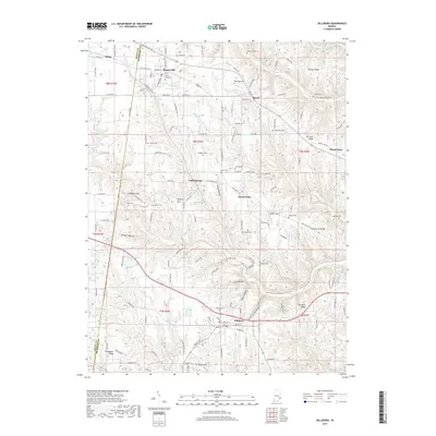 2019 Dillsboro2019 Print · USGSCovers Caesar Creek Township, including Sparta, Milan, and other nearby areas
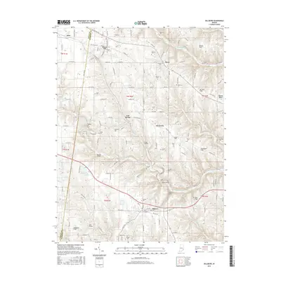
 - 2022 Map of Dillsboro, 2022 Print
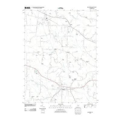
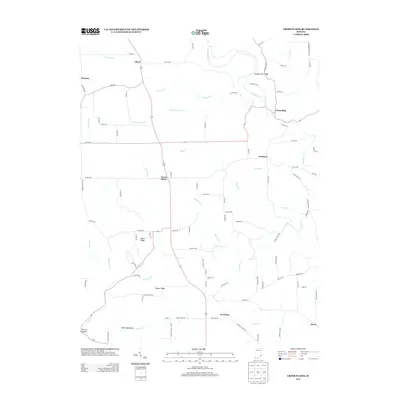
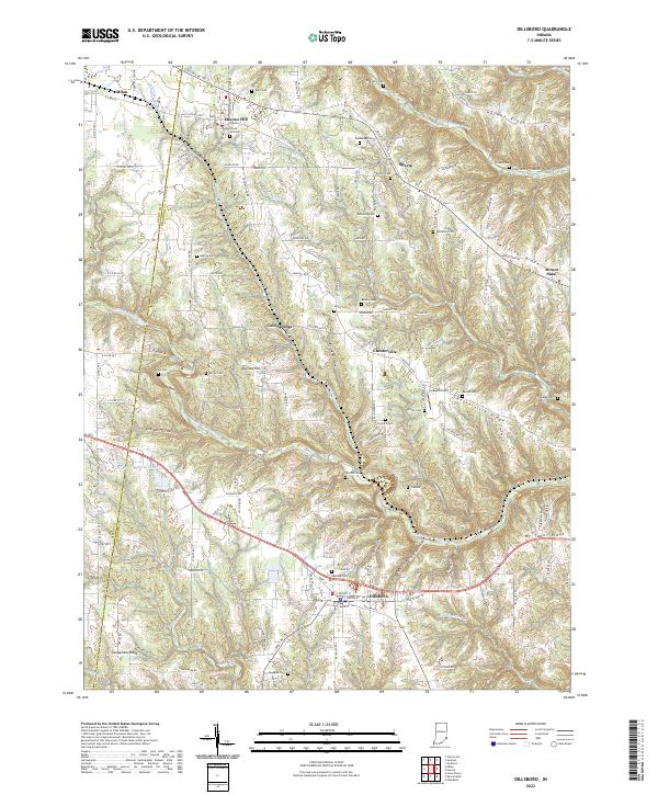 2022 Dillsboro2022 Print · USGSIndiana's Dearborn County ridge country is captured here in the early twenty-first century, showing the enduring rural layout of the region. Genealogists can locate numerous burial sites such as Oakdale Cem and Concord Cem, alongside the CSX Transportation corridor.
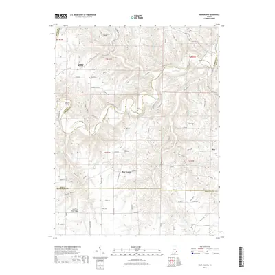
 - 2022 Map of Bear Branch, 2022 Print
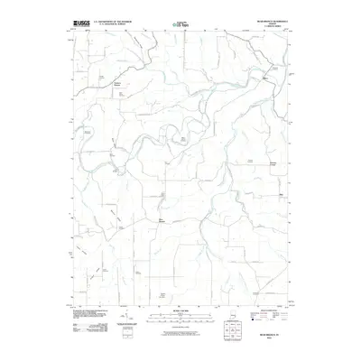
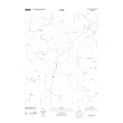
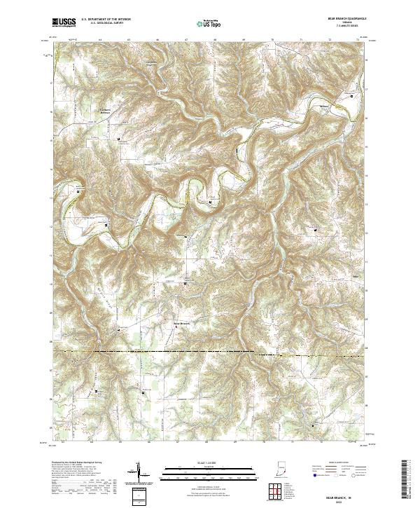 2022 Bear Branch2022 Print · USGSSoutheast Indiana's rural landscape at the start of the 2020s shows a resilient pattern of ridge-top settlements and creek-side hollows. Genealogists and local historians can trace legacy sites like Saint Johns Lutheran Cem, Milton, and the aptly named Farmers Retreat.
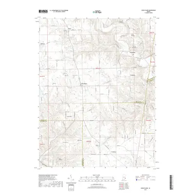
 - 2022 Map of Cross Plains, 2022 Print
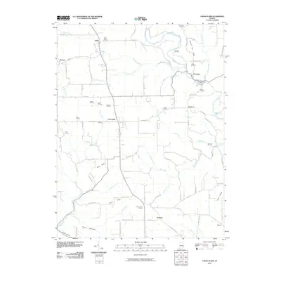
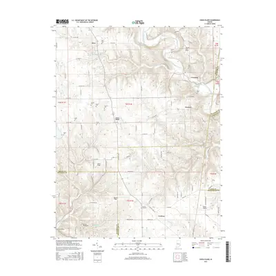
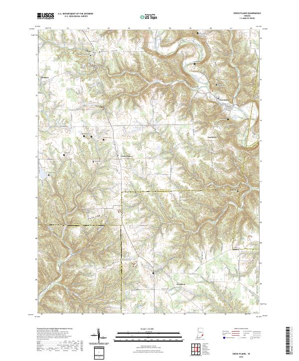 2022 Cross Plains2022 Print · USGSSoutheast Indiana's ridge-and-hollow country is captured here in the early twenty-first century, centered on the historic crossroads of Cross Plains. Genealogists can trace local roots through numerous family burial sites like Winkler Cem and Akers and Friendship Cem.
End of results
Showing maps 1-15 of 15
Top cities near Caesar Creek Township
- Lawrenceburg historical maps
- Greendale historical maps
- Aurora historical maps
- Sparta historical maps
- Rising Sun historical maps
- Versailles historical maps
See more
Top neighborhoods of Caesar Creek Township
Frequently asked questions
- What are the different types of historical maps available for Caesar Creek Township?
- What is the oldest map of Caesar Creek Township?
- Where can I purchase historical maps of Caesar Creek Township for my home or office?
- Where can I download high-res historical maps of Caesar Creek Township?
- Are there historical topographic maps available for Caesar Creek Township?
- Is there historical aerial imagery available for Caesar Creek Township?
- Where are historical maps of Caesar Creek Township sourced from?