Old Maps of Sparta Township, Indiana
Explore 16 old maps of Sparta Township, spanning from 1953 to today. These high-resolution historic maps reveal how streets, neighborhoods, landmarks, and natural features evolved over time — perfect for genealogy, metal detecting, research, and local history exploration.
What you can do with these maps:
- See how Sparta Township changed over time: Compare historical maps to modern-day views to trace roads, homesites, rail lines & more.
- View detailed metadata: Each map includes creators, publishers, year, scale, and archive source.
- Overlay maps with satellite & LiDAR: Visualize the past alongside modern tools to explore terrain & human change.
- Trusted historical sources: Maps sourced from the USGS, Library of Congress, and other archives.
- Access maps your way: View online, download high-res files, or order prints for personal or research use.
Start exploring old maps of Sparta Township to uncover forgotten places, hidden landmarks, and the deep history beneath your feet.
Sparta Township, IN maps
(16)- 1953 Map of Cincinnati, 1965 Print
 1953 Cincinnati1965 Print · USGSThe Ohio River valley and the industrial heartland of Indiana and Ohio are captured here during the mid-century peak of rail and river commerce. Genealogists and historians can trace connections between Cincinnati and outlying military sites like Camp Atterbury and Bakalar AFB.3 unique versions available
 - 1957 Map of Cincinnati
 1957 Cincinnati1957 Print · USGSThe Ohio River valley and its surrounding highlands thrived during the mid-fifties industrial peak, centered on the bustling Cincinnati and Dayton metropolitan hubs. Researchers can trace the extensive rail networks and military sites like Wright-Patterson AFB and Camp Atterbury.
 - 1958 Map of Sunman, 1959 Print
 1958 Sunman1959 Print · USGSThe rural borderlands of Ripley and Dearborn counties are captured here in the late fifties, as traditional farming life centered around the New York Central railroad. Genealogists can locate family sites near St Johns Ch, the County Home, and small crossroads like Negangards Corner.3 unique versions available
 - 1958 Map of Dillsboro, 1960 Print
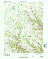
 1958 Dillsboro1960 Print · USGSSoutheast Indiana's ridge-and-hollow terrain is meticulously detailed here in the late fifties, showing the interplay between small-town life and the rail corridor. Trace family histories at South Sparta Ch or Forest Hill Cem, and follow the line of the Baltimore and Ohio RR.3 unique versions available
 - 1986 Map of Greensburg
 1986 Greensburg1986 Print · USGSSoutheastern Indiana in the mid-eighties shows a balance of growing industrial centers and deeply rooted rural communities. Family historians can trace landmarks like the Highland Center School, South Park Cemetery, and the Bartholomew County Courthouse among the river forks.2 unique versions available
 - 1992 Map of Dillsboro, 1995 Print
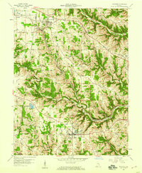
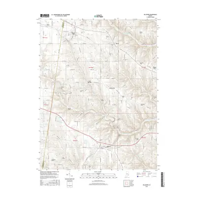
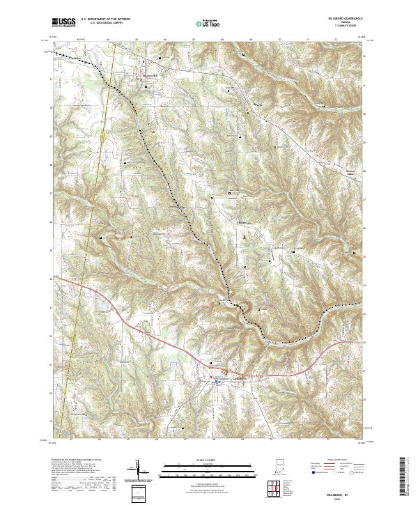
 1992 Dillsboro1995 Print · USGSSoutheast Indiana's ridge-and-hollow country is captured here during the late twentieth century as it appeared before major modern development. Genealogists can locate numerous burial sites including Forest Hill Cem and Oakdale Cem, while historians can trace the path of the B & O rail line.
 - 2010 Map of Dillsboro, 2010 Print
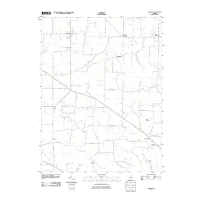
 2010 Dillsboro2010 Print · USGSCovers Sparta Township, including Sparta, Milan, and other nearby areas
 - 2010 Map of Sunman, 2010 Print
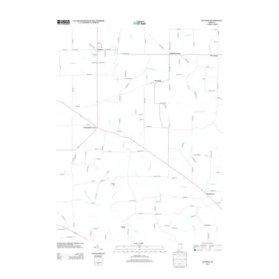
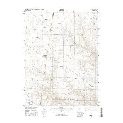
 2010 Sunman2010 Print · USGSCovers Sparta Township, including Milan, Sunman, and other nearby areas
 - 2013 Map of Dillsboro, 2013 Print
 2013 Dillsboro2013 Print · USGSCovers Sparta Township, including Sparta, Milan, and other nearby areas
 - 2013 Map of Sunman, 2013 Print
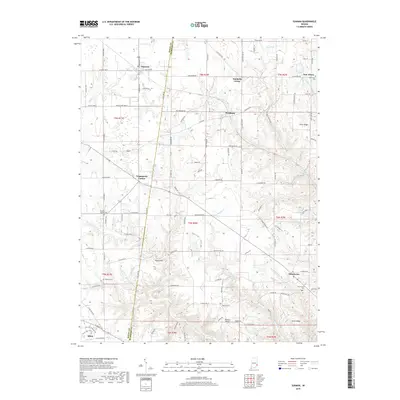
 2013 Sunman2013 Print · USGSCovers Sparta Township, including Milan, Sunman, and other nearby areas
 - 2016 Map of Dillsboro, 2016 Print
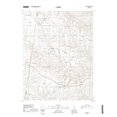
 2016 Dillsboro2016 Print · USGSCovers Sparta Township, including Sparta, Milan, and other nearby areas
 - 2016 Map of Sunman, 2016 Print
 2016 Sunman2016 Print · USGSCovers Sparta Township, including Milan, Sunman, and other nearby areas
 - 2019 Map of Sunman, 2019 Print
 2019 Sunman2019 Print · USGSCovers Sparta Township, including Milan, Sunman, and other nearby areas
 - 2019 Map of Dillsboro, 2019 Print
 2019 Dillsboro2019 Print · USGSCovers Sparta Township, including Sparta, Milan, and other nearby areas
 - 2022 Map of Sunman, 2022 Print
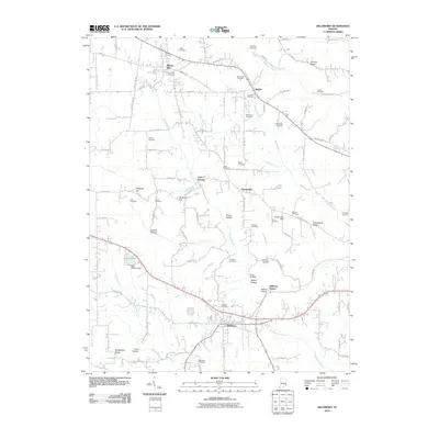
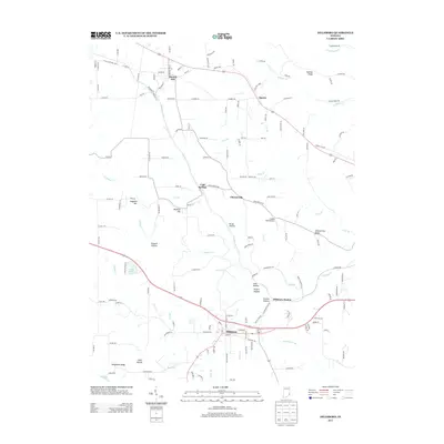
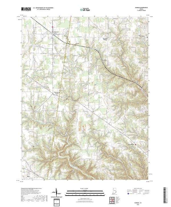 2022 Sunman2022 Print · USGSSoutheast Indiana's borderlands between Ripley and Dearborn counties are shown here as they appeared in the early 2020s. Researchers can trace rural cemeteries and local history across Ester Ridge, from the Manchester Cem to the railroad stop at Sunman.
 - 2022 Map of Dillsboro, 2022 Print
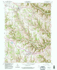
 2022 Dillsboro2022 Print · USGSIndiana's Dearborn County ridge country is captured here in the early twenty-first century, showing the enduring rural layout of the region. Genealogists can locate numerous burial sites such as Oakdale Cem and Concord Cem, alongside the CSX Transportation corridor.
End of results
Showing maps 1-16 of 16
Top cities near Sparta Township
- Batesville historical maps
- Lawrenceburg historical maps
- Greendale historical maps
- Aurora historical maps
- Sparta historical maps
- Logan historical maps
See more
Top neighborhoods of Sparta Township
- Chesterville historical maps
- Dillsboro Station historical maps
- Cold Springs historical maps
- Sparta historical maps
- Moores Hill historical maps
Frequently asked questions
- What are the different types of historical maps available for Sparta Township?
- What is the oldest map of Sparta Township?
- Where can I purchase historical maps of Sparta Township for my home or office?
- Where can I download high-res historical maps of Sparta Township?
- Are there historical topographic maps available for Sparta Township?
- Is there historical aerial imagery available for Sparta Township?
- Where are historical maps of Sparta Township sourced from?