Old Maps of Decatur County, Indiana for Hiking & Exploration
Hike through history with 78 historic maps of Decatur County. Explore old trails, ghost towns, and forgotten backroads — perfect for outdoor adventurers and local explorers.
- Rediscover forgotten places: Map out old mining camps, roads, and footpaths that no longer exist on modern maps.
- Layer with modern tools: Combine with LiDAR or satellite views to plan hikes through historical terrain.
- Made for exploration: Popular among hikers, overlanders, and local history lovers.
Use these maps to find adventure and explore the hidden past of Decatur County.
Decatur County, IN maps
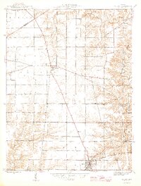
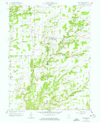
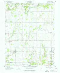
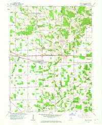
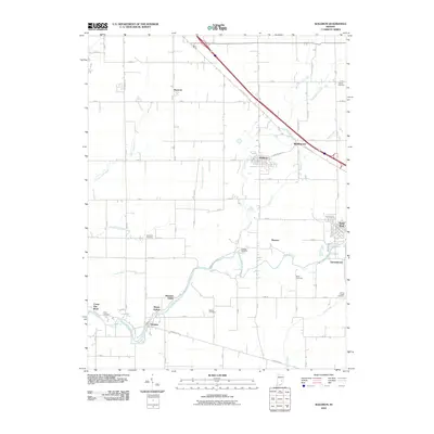
(78)- 1942 Map of Columbus
 1942 Columbus1942 Print · USGSBartholomew and Shelby counties are shown during the early years of the war, as military installations and rail lines reshaped the rural Indiana landscape. Genealogists can trace family-named sites and established communities like St Louis Crossing, Hope, and the sprawling Camp Atterbury.
 - 1946 Map of Osgood
 1946 Osgood1946 Print · USGSRipley County just after the war shows a landscape transitioning between its pioneer transit roots and modern rail industry. Genealogists can locate family landmarks like St Maurice Cem, Hayti Sch, and the straight path of the historic Michigan Road.2 unique versions available
 - 1946 Map of New Point
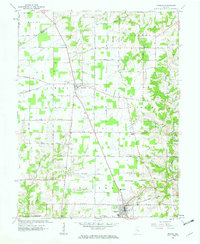
 1946 New Point1946 Print · USGSThe Decatur and Franklin county lines meet here in the 1940s, centered on the vital New York Central rail corridor. Genealogy researchers can locate rural family landmarks like Maple Cem, Zion Ch, and the Lipp Sch at the edge of Salt Creek.2 unique versions available
 - 1953 Map of Cincinnati, 1965 Print
 1953 Cincinnati1965 Print · USGSThe Ohio River valley and the industrial heartland of Indiana and Ohio are captured here during the mid-century peak of rail and river commerce. Genealogists and historians can trace connections between Cincinnati and outlying military sites like Camp Atterbury and Bakalar AFB.3 unique versions available
 - 1956 Map of Waldron, 1957 Print
 1956 Waldron1957 Print · USGSSoutheastern Shelby County comes alive in this mid-century survey of rural Indiana as it appeared before modern suburban sprawl. Researchers can locate family landmarks like Wesley Chapel, find the old Stone Quarry at Saint Paul, and trace the path of the New York Central railroad.5 unique versions available
 - 1957 Map of Cincinnati
 1957 Cincinnati1957 Print · USGSThe Ohio River valley and its surrounding highlands thrived during the mid-fifties industrial peak, centered on the bustling Cincinnati and Dayton metropolitan hubs. Researchers can trace the extensive rail networks and military sites like Wright-Patterson AFB and Camp Atterbury.
 - 1958 Map of Greensburg, 1959 Print
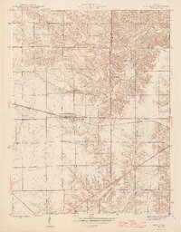
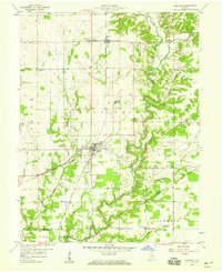
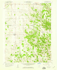
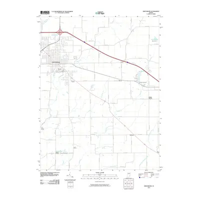
 1958 Greensburg1959 Print · USGSGreensburg and the surrounding Indiana countryside are captured here in the late fifties as the town grew along the rail and road lines. Researchers can find numerous family-named landmarks and rural burial grounds like Antioch Cem and Sand Creek Cem.4 unique versions available
 - 1958 Map of Millhousen, 1959 Print
 1958 Millhousen1959 Print · USGSSoutheast Indiana's agricultural and energy landscape comes into focus during the late fifties. Genealogists and researchers can trace local roots through landmarks like Millhousen, St Dennis Ch, and Degenhart Sch, alongside numerous early Gas Wells.3 unique versions available
 - 1958 Map of Westport, 1959 Print
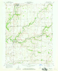
 1958 Westport1959 Print · USGSSouthern Decatur County at the close of the 1950s centers on the bustling rail junction at Westport. Genealogists and historians can trace family locations through numerous rural sites like Mt Aerie Ch, the Covered Bridge over Sand Creek, and the Old Indian Treaty Bdy.4 unique versions available
 - 1958 Map of Forest Hill, 1959 Print
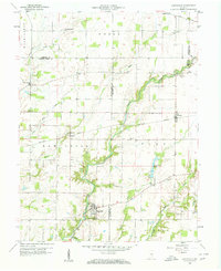
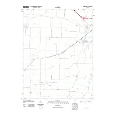
 1958 Forest Hill1959 Print · USGSDecatur County's rural townships are captured in the late fifties as small crossroads settlements like Ewington and Harris City thrived along the New York Central railroad. Researchers can trace family history through numerous landmarks including Forsythe Cem, Columbia Cem, and the County Home.4 unique versions available
 - 1958 Map of Hartsville, 1959 Print
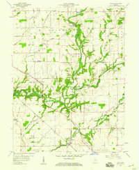
 1958 Hartsville1959 Print · USGSBartholomew and Decatur counties are shown here in the late fifties, where rail lines and winding creeks shaped rural life. Genealogists can locate family-named sites like Galbraith Cem and Center Grove Cem, or trace the tracks of the New York Central through Rugby.4 unique versions available
 - 1958 Map of Grammer, 1959 Print
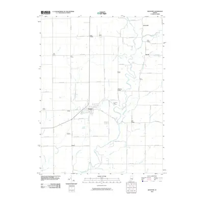
 1958 Grammer1959 Print · USGSSoutheastern Indiana's agricultural heartland is documented here in the late fifties, centered on the Chicago Milwaukee St Paul and Pacific rail corridor. Genealogists can locate family-named sites such as Parkison Cem, Mt Pisgah Cem, and the community of Grammer.4 unique versions available
 - 1958 Map of Clarksburg, 1959 Print
 1958 Clarksburg1959 Print · USGSSoutheastern Indiana farmland and creek valleys meet in the late fifties at the junction of three counties. Genealogists can trace family names and sites at Clarksburg, Hamburg, and cemeteries like Old Brick Cem and Mt Carmel Cem.4 unique versions available
 - 1959 Map of Milroy, 1960 Print
 1959 Milroy1960 Print · USGSRush and Decatur Counties are captured in the late fifties, showing a rural landscape defined by the Flatrock River and rail lines. Genealogists can locate family sites at Bethesda Cem and Layton Cem or trace the New York Central railroad through Milroy.4 unique versions available
 - 1959 Map of Adams, 1960 Print
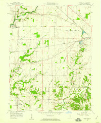
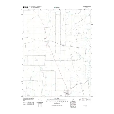
 1959 Adams1960 Print · USGSSoutheastern Indiana's rural landscape is captured here in the late fifties, showing the river-carved borders of Rush and Decatur counties. Genealogists and researchers can locate several family-named landmarks and rural congregations, including Mt Hebron Cem, Star Ch, and the community of Downeyville.3 unique versions available
 - 1961 Map of New Point, 1963 Print
 1961 New Point1963 Print · USGSSoutheastern Indiana's agricultural heartland is documented here in the early sixties, centered on the railroad town of New Point. Researchers can trace the New York Central line through Rossburg and locate rural landmarks like Zion Ch and Enochsburg.4 unique versions available
 - 1961 Map of Osgood, 1963 Print
 1961 Osgood1963 Print · USGSRipley County life is captured here in the early sixties, centered on the rail-and-road hub of Osgood. Genealogists and local historians can trace family roots through sites like St Maurice Cem, Finke Church, and the historic Michigan Road.3 unique versions available
 - 1986 Map of Greensburg
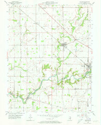
 1986 Greensburg1986 Print · USGSSoutheastern Indiana in the mid-eighties shows a balance of growing industrial centers and deeply rooted rural communities. Family historians can trace landmarks like the Highland Center School, South Park Cemetery, and the Bartholomew County Courthouse among the river forks.2 unique versions available
 - 2010 Map of Millhousen, 2010 Print
 2010 Millhousen2010 Print · USGSCovers Decatur County, including Millhousen, Tuckertown, and other nearby areas
 - 2010 Map of Milroy, 2010 Print
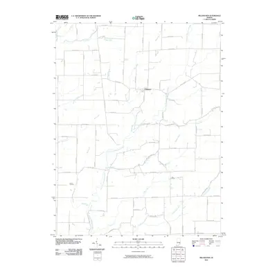
 2010 Milroy2010 Print · USGSCovers Decatur County, including Richland, Sandusky, and other nearby areas
 - 2010 Map of Forest Hill, 2010 Print
 2010 Forest Hill2010 Print · USGSCovers Decatur County, including Greensburg, Milford, and other nearby areas
 - 2010 Map of Osgood, 2010 Print
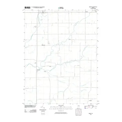
 2010 Osgood2010 Print · USGSCovers Decatur County, including Osgood, Napoleon, and other nearby areas
 - 2010 Map of Greensburg, 2010 Print
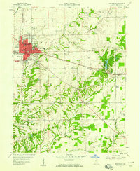
 2010 Greensburg2010 Print · USGSCovers Decatur County, including Greensburg, Slabtown, and other nearby areas
 - 2010 Map of Westport, 2010 Print
 2010 Westport2010 Print · USGSCovers Decatur County, including Westport, Harper, and other nearby areas
 - 2010 Map of Waldron, 2010 Print
 2010 Waldron2010 Print · USGSCovers Decatur County, including St. Paul, Saint Paul, and other nearby areas
Showing maps 1-25 of 78
Top cities of Decatur County
- Greensburg historical maps
- Westport historical maps
- New Point historical maps
- Adams historical maps
- Millhousen historical maps
- Milford historical maps
Frequently asked questions
- What are the different types of historical maps available for Decatur County?
- What is the oldest map of Decatur County?
- Where can I purchase historical maps of Decatur County for my home or office?
- Where can I download high-res historical maps of Decatur County?
- Are there historical topographic maps available for Decatur County?
- Is there historical aerial imagery available for Decatur County?
- Where are historical maps of Decatur County sourced from?