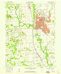
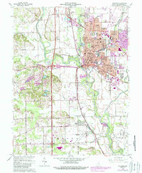
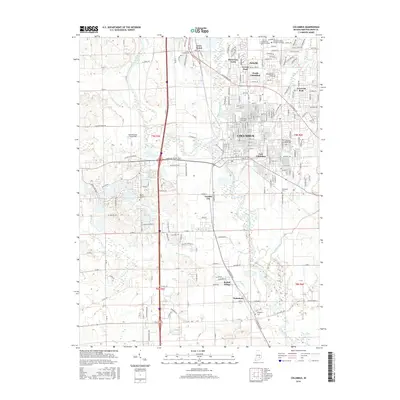
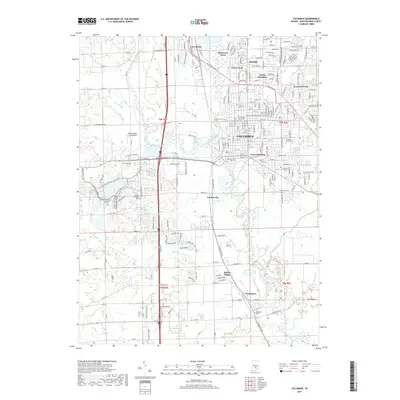
1942 Map of Columbus
USGS Topo · Published 1942About this map
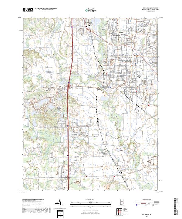
Camp Atterbury dominates the western edge of this 1942 survey, reflecting the rapid military mobilization of the era as the United States entered World War II. The landscape is defined by the convergence of several major waterways, including the Driftwood River, Blue River, and the East Fork White River, which meet near the regional hub of Columbus. This hydrological network supported a dense arrangement of small agricultural settlements and post offices such as Milford (Clifty P O) and St Louis Crossing.
Find a feature on this map
88 named features on this map. Tap any name to fly to it.
Don’t see what you’re looking for? This feature index may not catch every label — zoom into the map to look around manually.
Map Details
Editions of this 1942 Columbus Map
This is the sole edition of this map. No revisions or reprints were ever made.
Historical Maps of Columbus Through Time
8 maps found