
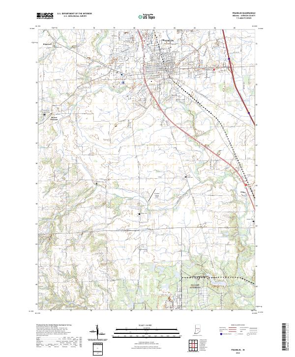
1942 Map of Franklin
USGS Topo · Published 1942About this map
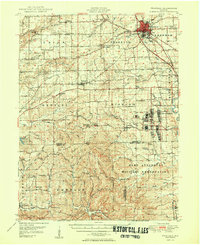
Martinsville and Franklin anchor this early 1940s landscape, a region defined by the transition from the White River valley into the heavily wooded hills of southern Indiana. The map captures a critical moment of wartime mobilization with the footprint of Camp Atterbury clearly established on the eastern edge. To the south, the expansive Brown County State Park and Game Preserve and the National Forest Purchase Unit indicate a shift toward conservation and public land management in the rugged terrain surrounding Nashville.
Find a feature on this map
83 named features on this map. Tap any name to fly to it.
Don’t see what you’re looking for? This feature index may not catch every label — zoom into the map to look around manually.
Map Details
Editions of this 1942 Franklin Map
This is the sole edition of this map. No revisions or reprints were ever made.
Historical Maps of Bloomington Through Time
10 maps found
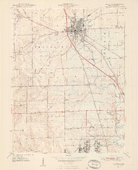
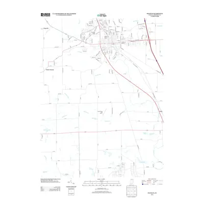
1942 Franklin
Johnson County, IN

1947 Franklin
Johnson County, IN
1948 Franklin
Johnson County, IN
1950 Franklin
Johnson County, IN
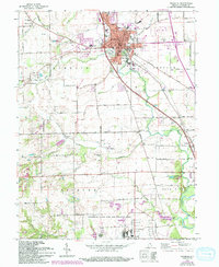
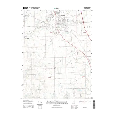
1961 Franklin
Johnson County, IN
2010 Franklin
Johnson County, IN
2013 Franklin
Johnson County, IN
2016 Franklin
Johnson County, IN
2019 Franklin
Johnson County, IN
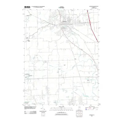
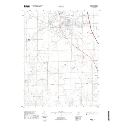
2022 Franklin
Johnson County, IN