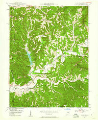
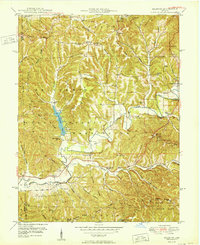
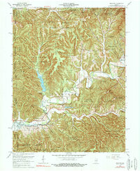
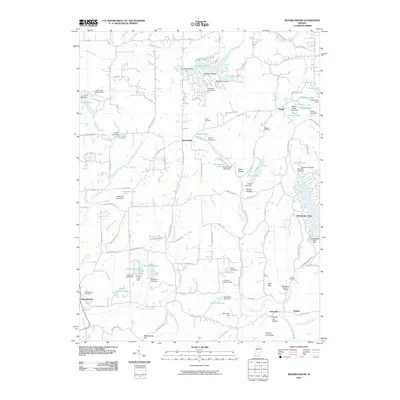
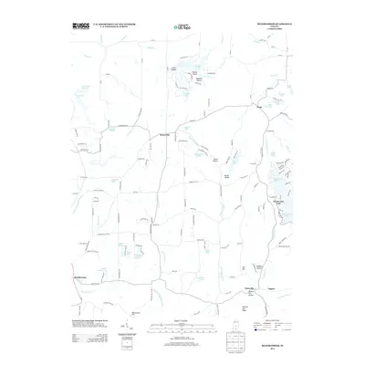
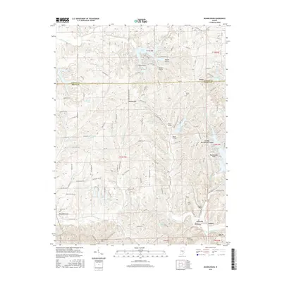
1946 Map of Belmont
USGS Topo · Published 1960About this map
Yellowwood State Forest and Brown County State Park dominate this 1946 mid-century landscape, preserving a terrain of narrow ridges and deep hollows. The area is characterized by family-named landmarks such as Pattys Garden Ridge, Watton Hill, and Baughman Hill. Significant local history is anchored at the T C Steele Memorial and the West Toll House near Kelley Hill.
Find a feature on this map
78 named features on this map. Tap any name to fly to it.
Don’t see what you’re looking for? This feature index may not catch every label — zoom into the map to look around manually.
Map Details
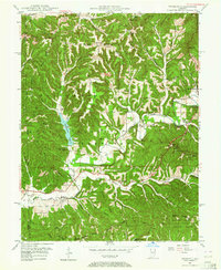
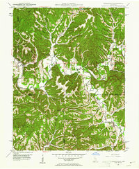
Editions of this 1946 Belmont Map
2 editions found
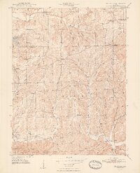
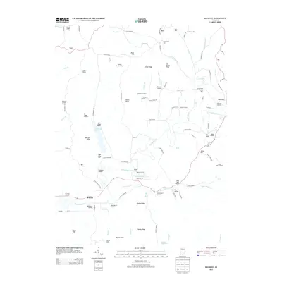
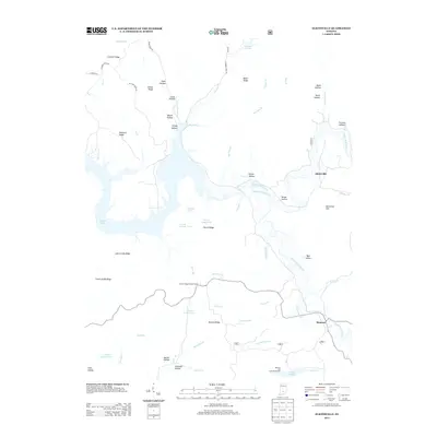
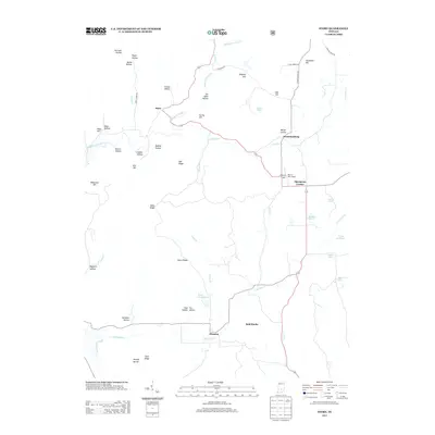
Historical Maps of Nashville Through Time
32 maps found
1946 Belmont
Brown County, IN
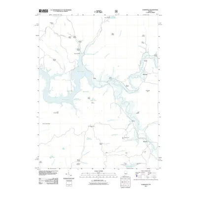
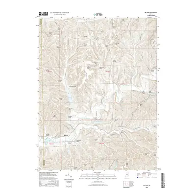
1947 Elkinsville
Brown County, IN
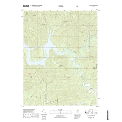
1948 Fruitdale
Brown County, IN
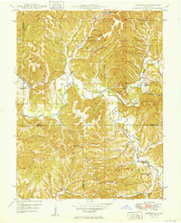
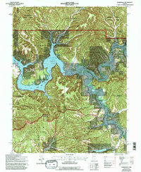
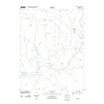
1950 Belmont
Brown County, IN
1950 Elkinsville
Brown County, IN
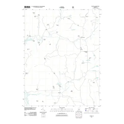
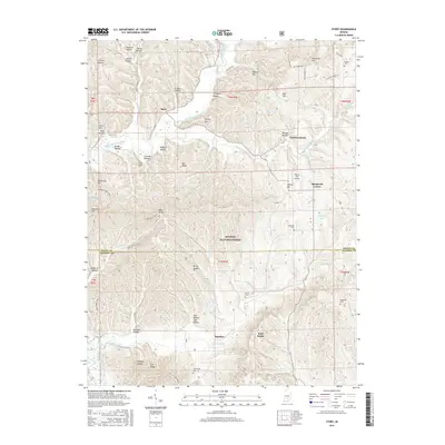
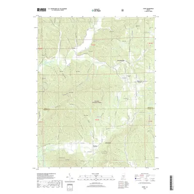
1956 Story
Brown County, IN
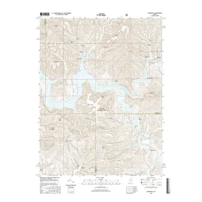
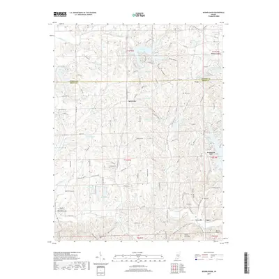
1962 Beanblossom
Brown County, IN
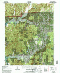
1966 Belmont
Brown County, IN
1966 Elkinsville
Brown County, IN
1967 Story
Brown County, IN
1993 Elkinsville
Brown County, IN

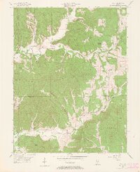
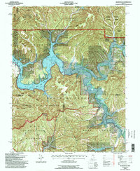
1998 Belmont
Brown County, IN
2010 Beanblossom
Brown County, IN
2011 Belmont
Brown County, IN
2011 Elkinsville
Brown County, IN
2011 Story
Brown County, IN
2013 Beanblossom
Brown County, IN
2013 Belmont
Brown County, IN
2013 Elkinsville
Brown County, IN
2013 Story
Brown County, IN
2016 Beanblossom
Brown County, IN
2016 Belmont
Brown County, IN
2016 Elkinsville
Brown County, IN
2016 Story
Brown County, IN
2019 Beanblossom
Brown County, IN
2019 Belmont
Brown County, IN
2019 Elkinsville
Brown County, IN
2019 Story
Brown County, IN
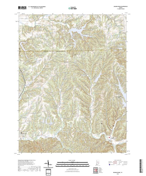
2022 Beanblossom
Brown County, IN
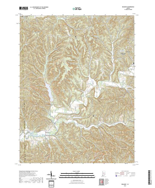
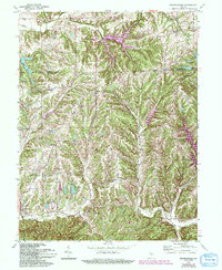
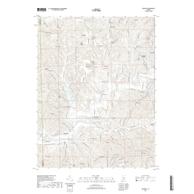
2022 Belmont
Brown County, IN
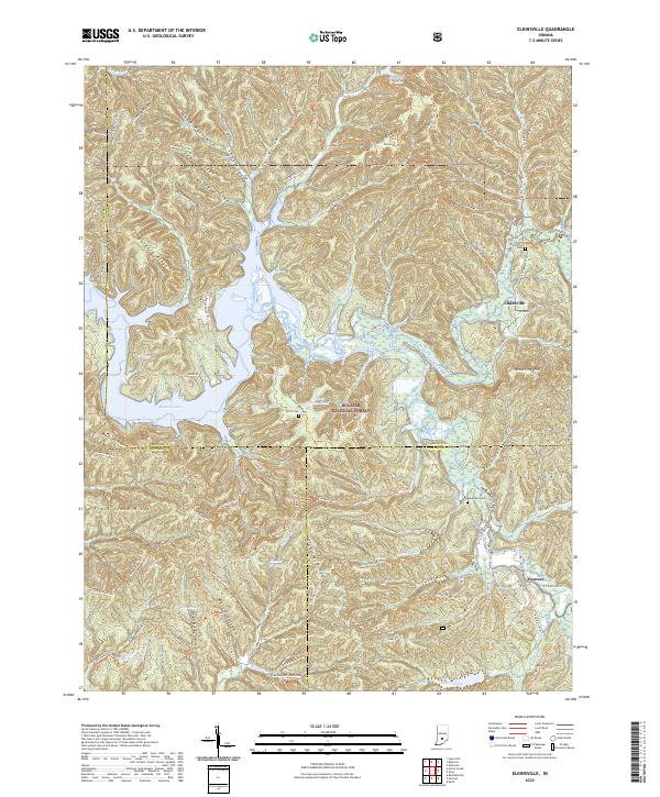
2022 Elkinsville
Brown County, IN
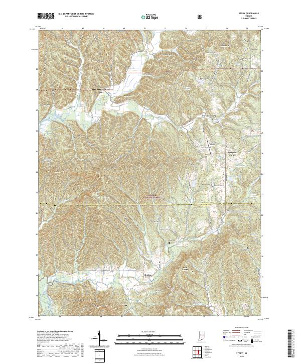
2022 Story
Brown County, IN