
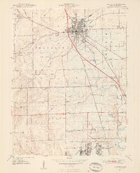
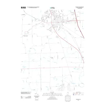
1947 Map of Franklin
USGS Topo · Published 1964About this map
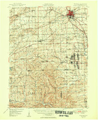
Franklin serves as the focal point of this 1940s landscape, featuring prominent local institutions like Franklin College, the Masonic Home, and the Johnson County Memorial Hospital. The transition from the developed town to the rural outskirts is marked by the presence of the Franklin Airfield and the Sewage Disposal works along Youngs Creek. To the south, the landscape is heavily influenced by the sprawling Camp Atterbury Military Reservation, which includes specific wartime infrastructure such as Wakeman Hospital and a Prisoner of War Camp.
Find a feature on this map
102 named features on this map. Tap any name to fly to it.
Don’t see what you’re looking for? This feature index may not catch every label — zoom into the map to look around manually.
Map Details
Editions of this 1947 Franklin Map
This is the sole edition of this map. No revisions or reprints were ever made.
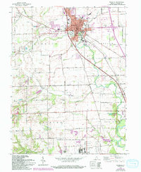
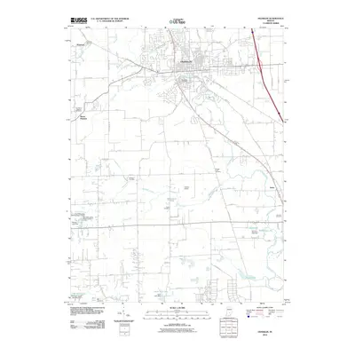
Historical Maps of Franklin Through Time
10 maps found

1942 Franklin
Johnson County, IN
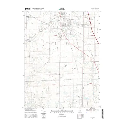
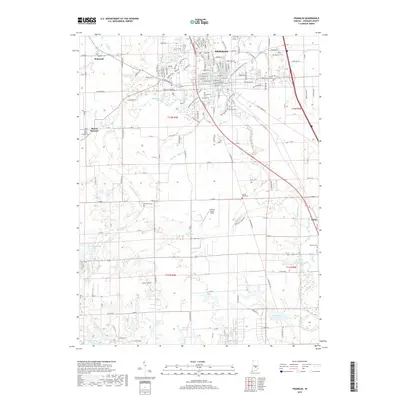
1947 Franklin
Johnson County, IN
1948 Franklin
Johnson County, IN
1950 Franklin
Johnson County, IN
1961 Franklin
Johnson County, IN
2010 Franklin
Johnson County, IN
2013 Franklin
Johnson County, IN
2016 Franklin
Johnson County, IN
2019 Franklin
Johnson County, IN
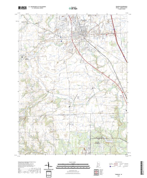
2022 Franklin
Johnson County, IN