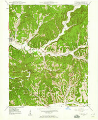
1947 Map of Nashville
USGS Topo · Published 1960About this map
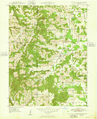
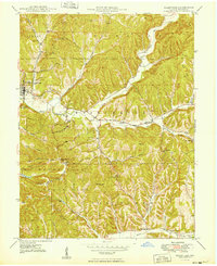
Nashville serves as the central hub of this 1947 topographical study, which illustrates the deeply dissected terrain of Brown County before the era of modern development. The map details a landscape defined by sharp ridges and narrow hollows, such as Weddle Ridge and Crouch Hollow, where early roads follow the winding paths of the Salt Creek and its many branches. The drainage pattern of the North Fork Salt Creek dictates the placement of crossroads like Gnaw Bone and Clarksdale.
Find a feature on this map
56 named features on this map. Tap any name to fly to it.
Don’t see what you’re looking for? This feature index may not catch every label — zoom into the map to look around manually.
Map Details
Editions of this 1947 Nashville Map
This is the sole edition of this map. No revisions or reprints were ever made.
Other maps of this area

1942 · Franklin
USGS Topo · 1:125,000
1946 · Belmont
USGS Topo · 1:24,000
1947 · Elkinsville
USGS Topo · 1:24,000

1947 · Franklin
USGS Topo · 1:62,500
1948 · New Bellsville
USGS Topo · 1:24,000
1948 · Waymansville
USGS Topo · 1:24,000
1948 · Nineveh
USGS Topo · 1:24,000
1948 · Fruitdale
USGS Topo · 1:24,000
1948 · Morgantown
USGS Topo · 1:24,000
1949 · Nashville
USGS Topo · 1:24,000