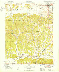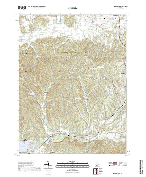
1948 Map of Morgantown
USGS Topo · Published 1956About this map
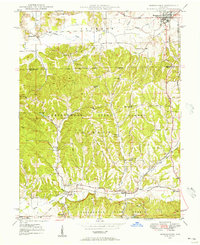
Morgantown sits at the northern edge of this post-war landscape, where the flat till plains of Jackson township meet the wooded ridges of the Yellowwood State Forest. The geography here is defined by a transition from the agricultural valley of Indian Creek to the deep hollows and high points like Cooks Hill. Along the southern boundary, the Illinois Central railroad follows the winding path of Bean Blossom Creek, connecting small settlements like Helmsburg, Trevlac, and Needmore. This rail corridor was vital for the local timber and farming economy of the mid-20th century.
Find a feature on this map
39 named features on this map. Tap any name to fly to it.
Don’t see what you’re looking for? This feature index may not catch every label — zoom into the map to look around manually.
Map Details
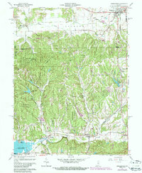
Editions of this 1948 Morgantown Map
This is the sole edition of this map. No revisions or reprints were ever made.
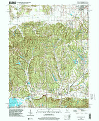
Historical Maps of Morgantown Through Time
9 maps found