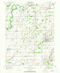
1948 Map of Hope
USGS Topo · Published 1948About this map
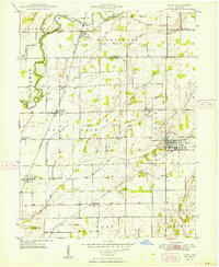
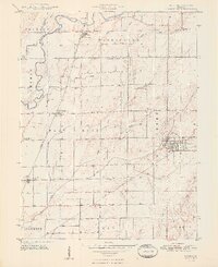
Hope serves as the primary hub of this landscape, situated at the intersection of a sprawling network of creeks and drainage ditches that supported the agricultural productivity of Bartholomew Co following the Second World War. The area is defined by its rural heritage, anchored by settlements like Flat Rock and Clifford, and marked by numerous legacy burial grounds such as Moravian Cem and Siddall Cem. The Pennsylvania and New York Central railroads cut across the terrain, providing essential transport links for the small farming communities of Old St Louis and St Louis Crossing.
Find a feature on this map
44 named features on this map. Tap any name to fly to it.
Don’t see what you’re looking for? This feature index may not catch every label — zoom into the map to look around manually.
Map Details
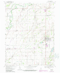
Editions of this 1948 Hope Map
2 editions found
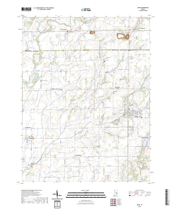
Historical Maps of Hope Through Time
8 maps found