Old Maps of Sedan, Indiana for Academic Research
Study the evolution of Sedan with 11 high-resolution historic maps. Whether you're teaching, researching, or modeling changes in land use, these maps provide essential visual documentation of urban, environmental, and geographic change.
- Analyze long-term change: Track patterns in development, transportation, and natural features.
- Ideal for environmental or urban studies: Support academic projects with primary historical map data.
- Use in the classroom or lab: Educators and researchers rely on these maps to bring historical context to life.
These maps are a powerful tool for teaching, research, and visualizing how Sedan has changed over the decades.
Sedan, IN maps
(11)- 1953 Map of Fort Wayne, 1963 Print
 1953 Fort Wayne1963 Print · USGSNortheast Indiana and its neighboring borderlands in Michigan and Ohio appear here during a peak era of rail and road expansion. Researchers can trace the massive rail networks of the Nickel Plate Road and Wabash or locate lakeside landmarks like Lake Wawasee and Clear Lake.4 unique versions available
 - 1956 Map of Fort Wayne
 1956 Fort Wayne1956 Print · USGSThe tri-state borderlands of Indiana, Michigan, and Ohio are captured here in the mid-fifties, centered on the growing industrial hub of Fort Wayne. Researchers can trace the heavy rail lines of the New York Central and Pennsylvania alongside prominent water features like Lake Wawasee and the Maumee River.2 unique versions available
 - 1957 Map of Waterloo, 1959 Print
 1957 Waterloo1959 Print · USGSDeKalb County is captured here in the late fifties, showing a landscape defined by rail lines and rural community centers. Genealogists can locate family landmarks such as the De Kalb County Home, St Michaels Ch, and the Tamarack Cem.
 - 1973 Map of Waterloo, 1974 Print
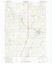 1973 Waterloo1974 Print · USGSDeKalb County in the early seventies shows a landscape of busy rail corridors and quiet rural crossroads. Genealogists can locate several family landmarks and community centers, including Sedan, Cedar Lake Church, and the Tamerack Cemetery.2 unique versions available
 - 1984 Map of Fort Wayne, 1985 Print
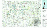 1984 Fort Wayne1985 Print · USGSNortheast Indiana in the mid-1980s reveals a complex landscape of glacial lakes, thriving college towns, and heavy rail infrastructure. Researchers can trace the development of Winona Lake, locate Manchester College in North Manchester, and find rural landmarks like Oakwood Cem or the Tri-County State Fish and Game Area.
 - 1994 Map of Fort Wayne
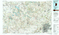 1994 Fort Wayne1994 Print · USGSNortheast Indiana in the mid-nineties shows a landscape deeply tied to its glacial lakes and early rail networks. Genealogists and historians can trace old transit lines like the Old Ind RR and explore lakeside settlements such as Enchanted Hills and Syracuse.
 - 2010 Map of Waterloo, 2010 Print
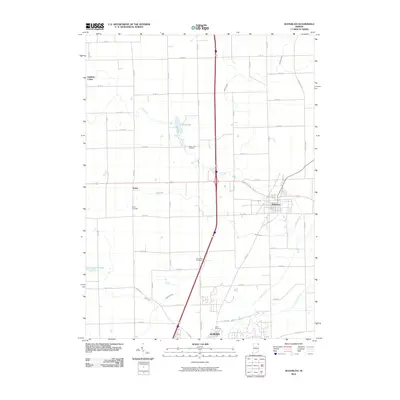 2010 Waterloo2010 Print · USGSDeKalb County at the start of the decade shows a landscape where historic rural settlements meet modern infrastructure. Genealogists can locate family burial sites at Tamarack Cemetery and Sedan Cemetery or trace the early community footprints of Sedan and Fairfield Center.
 - 2013 Map of Waterloo, 2013 Print
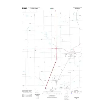 2013 Waterloo2013 Print · USGSWaterloo and its rural surroundings in DeKalb County are documented here in the early twenty-first century. Genealogists and local historians can trace the street grids of Waterloo and the settlement at Sedan, as well as the intricate drainage system including Swartz Ditch and Cedar Cr.
 - 2016 Map of Waterloo, 2016 Print
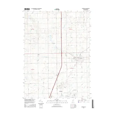 2016 Waterloo2016 Print · USGSThe crossroads of northeastern Indiana come into focus here during the early twenty-first century, centered on Waterloo and the northern reach of Auburn. Researchers can pinpoint family history at Sedan Cem or trace the intricate drainage of Swartz Ditch and Cedar Cr.
 - 2019 Map of Waterloo, 2019 Print
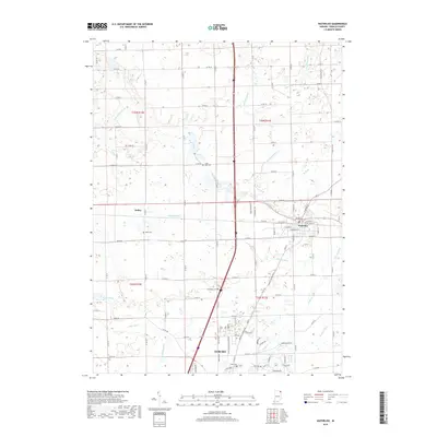 2019 Waterloo2019 Print · USGSDeKalb County at the end of the 2010s shows a landscape of established towns and precision-drained farmland. Researchers can locate family sites at Tamarack Cem and Sedan Cem or trace the drainage paths of Swartz Ditch and Cedar Cr.
 - 2022 Map of Waterloo, 2022 Print
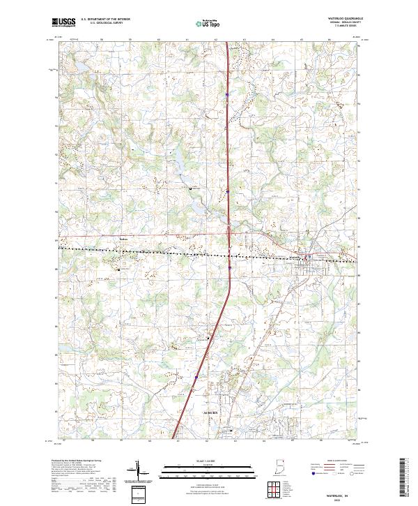 2022 Waterloo2022 Print · USGSDeKalb County enters the 2020s as a landscape of managed waterways and historic crossroads at Waterloo and Sedan. Genealogists and local historians can locate rural burial sites like Tamarack Cem and Cedar Lake Cem amidst a complex network of agricultural channels.
End of results
Showing maps 1-11 of 11
Top cities near Sedan
- Auburn historical maps
- Kendallville historical maps
- Angola historical maps
- Garrett historical maps
- Leo-Cedarville historical maps
- Butler historical maps
See more
Frequently asked questions
- What are the different types of historical maps available for Sedan?
- What is the oldest map of Sedan?
- Where can I purchase historical maps of Sedan for my home or office?
- Where can I download high-res historical maps of Sedan?
- Are there historical topographic maps available for Sedan?
- Is there historical aerial imagery available for Sedan?
- Where are historical maps of Sedan sourced from?