Old Maps of Albany, Indiana for Academic Research
Study the evolution of Albany with 15 high-resolution historic maps. Whether you're teaching, researching, or modeling changes in land use, these maps provide essential visual documentation of urban, environmental, and geographic change.
- Analyze long-term change: Track patterns in development, transportation, and natural features.
- Ideal for environmental or urban studies: Support academic projects with primary historical map data.
- Use in the classroom or lab: Educators and researchers rely on these maps to bring historical context to life.
These maps are a powerful tool for teaching, research, and visualizing how Albany has changed over the decades.
Albany, IN maps
(15)- 1953 Map of Muncie, 1966 Print
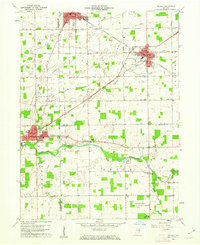
 1953 Muncie1966 Print · USGSIndiana and Ohio borderlands thrive in the early fifties, showing a landscape defined by manufacturing cities and an intensive railroad network. Genealogists can trace family roots across the Indiana-Ohio line through Muncie, Celina, and Portland via the Pennsylvania railroad.5 unique versions available
 - 1956 Map of Muncie
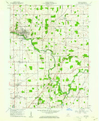
 1956 Muncie1956 Print · USGSEastern Indiana and western Ohio are shown at a peak of rail-driven industry in the mid-fifties. Genealogists and rail historians can trace the paths of the Pennsylvania RR through Muncie or locate landmarks like Lake Saint Marys (Grand Lake Reservoir) and Frances Slocum State Forest.
 - 1960 Map of Eaton, 1961 Print
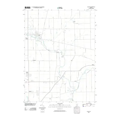
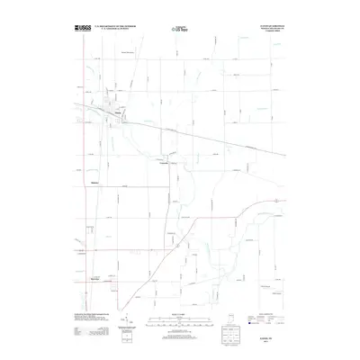
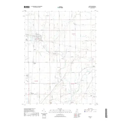
 1960 Eaton1961 Print · USGSDelaware County at the start of the 1960s shows a landscape of established rail lines and emerging mid-century landmarks. Genealogists can trace family names through the Union Cemetery or Godlove Cem, while identifying sites like the Township Sch and Delaware Chapel.3 unique versions available
 - 1960 Map of Redkey, 1962 Print
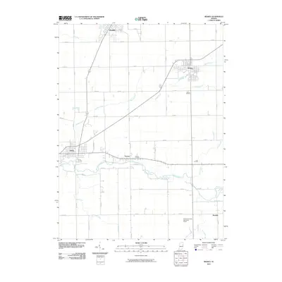
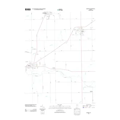
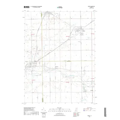
 1960 Redkey1962 Print · USGSEastern Indiana in the early sixties shows a landscape where industrial rail hubs meet the agricultural heartland. Genealogists and local historians can trace family roots through sites like Cherry Grove Sch, Shedville, and the Strong Cem near the Mississinewa River.2 unique versions available
 - 1986 Map of Muncie
 1986 Muncie1986 Print · USGSEast Central Indiana was a hub of manufacturing and higher education in the mid-eighties. Genealogists and historians can trace the streets of Muncie, locate rural Cem sites, and explore landmarks like Mounds State Park and Taylor Univ.3 unique versions available
 - 2010 Map of Redkey, 2010 Print
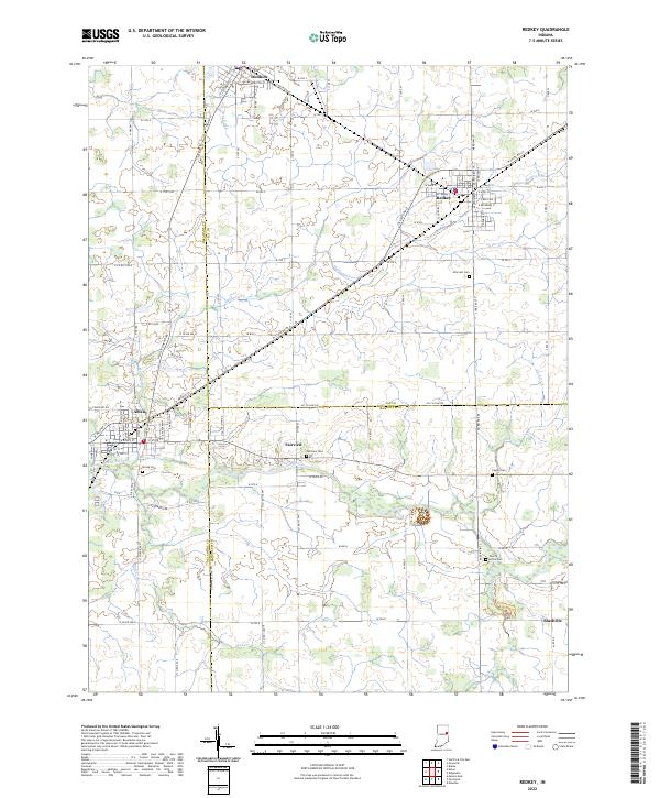
 2010 Redkey2010 Print · USGSCovers Albany, including Redkey, Fairview, and other nearby areas
 - 2010 Map of Eaton, 2010 Print
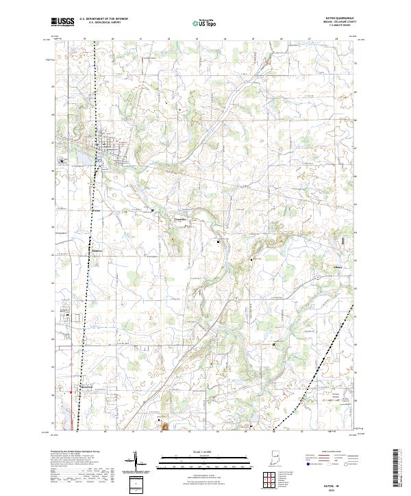
 2010 Eaton2010 Print · USGSCovers Albany, including Eaton, Granville, and other nearby areas
 - 2013 Map of Redkey, 2013 Print
 2013 Redkey2013 Print · USGSCovers Albany, including Redkey, Fairview, and other nearby areas
 - 2013 Map of Eaton, 2013 Print
 2013 Eaton2013 Print · USGSCovers Albany, including Eaton, Granville, and other nearby areas
 - 2016 Map of Eaton, 2016 Print
 2016 Eaton2016 Print · USGSCovers Albany, including Eaton, Granville, and other nearby areas
 - 2016 Map of Redkey, 2016 Print
 2016 Redkey2016 Print · USGSCovers Albany, including Redkey, Fairview, and other nearby areas
 - 2019 Map of Redkey, 2019 Print
 2019 Redkey2019 Print · USGSCovers Albany, including Redkey, Fairview, and other nearby areas
 - 2019 Map of Eaton, 2019 Print
 2019 Eaton2019 Print · USGSCovers Albany, including Eaton, Granville, and other nearby areas
 - 2022 Map of Redkey, 2022 Print
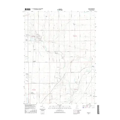
 2022 Redkey2022 Print · USGSJay and Delaware counties are documented here in the early 2020s, showing the settled farmland between the Mississinewa River and the towns of Dunkirk and Redkey. Researchers can trace local heritage through several rural cemeteries like Caylor Cem and Cherry Grove Cem.
 - 2022 Map of Eaton, 2022 Print
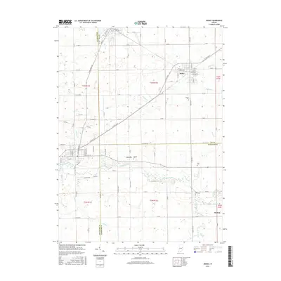
 2022 Eaton2022 Print · USGSNorthern Delaware County in the early 2020s shows a landscape of river-bend settlements and deep-rooted farmsteads. Genealogists can locate family sites at Black Cem or Union Cem, and trace the small-town grids of Eaton and Shideler.
End of results
Showing maps 1-15 of 15
Top cities near Albany
- Muncie historical maps
- Portland historical maps
- Hartford City historical maps
- Yorktown historical maps
- Eaton historical maps
- Redkey historical maps
See more
Frequently asked questions
- What are the different types of historical maps available for Albany?
- What is the oldest map of Albany?
- Where can I purchase historical maps of Albany for my home or office?
- Where can I download high-res historical maps of Albany?
- Are there historical topographic maps available for Albany?
- Is there historical aerial imagery available for Albany?
- Where are historical maps of Albany sourced from?