Old Maps of Jasper, Indiana for Genealogy
Trace your family roots with 19 historic maps of Jasper. These high-res maps reveal old neighborhoods, homesites, landmarks, and streets — helping you uncover where your ancestors lived and how the area evolved over time.
- Explore historic neighborhoods: Identify where your relatives may have lived in the 1800s or 1900s.
- Compare maps over time: Trace the changes in streets, buildings, and landmarks for multi-generational research.
- Perfect for genealogy & ancestry research: Used by family historians and researchers to map out lineage and migration.
These maps are an incredible resource for exploring your personal connection to Jasper's past.
Jasper, IN maps
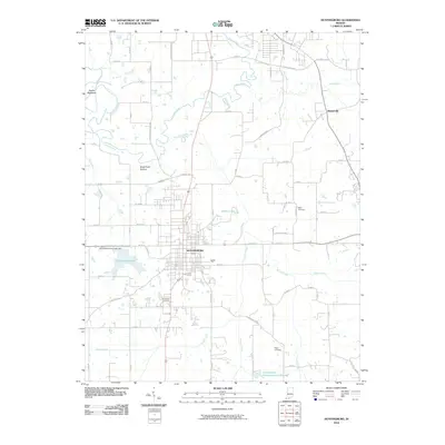
(19)- 1946 Map of Jasper
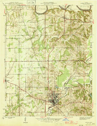 1946 Jasper1946 Print · USGSMid-century Dubois County comes alive in this survey of the Jasper area during the years following the war. Genealogists can locate family landmarks like Sherritt Cem, old rural schoolhouses such as Hope Sch, and the rail-side industry of the Southern line.2 unique versions available
 - 1954 Map of Huntingburg, 1956 Print
 1954 Huntingburg1956 Print · USGSMid-century Dubois County comes to life as Huntingburg expands around its rail crossing and oil fields in the early 1950s. Genealogists can locate family landmarks like Fairmount Cem, Hagen Cem, and the vanished settlement at Rose Bank.2 unique versions available
 - 1956 Map of Vincennes, 1967 Print
 1956 Vincennes1967 Print · USGSSouthern Indiana and the Illinois borderlands are captured here in the mid-fifties, showing the region's dense network of river towns and rail lines. Researchers can trace historic river crossings along the Wabash River or locate landmarks like Wyandotte Cave and Lincoln State Park.4 unique versions available
 - 1957 Map of Vincennes
 1957 Vincennes1957 Print · USGSSouthwest Indiana and the Illinois borderlands come alive in the late 1950s, a period of heavy rail traffic and expanding state forests. Genealogists and historians can trace the riverfronts and rail lines of Vincennes, New Harmony, and the vast Crane Naval Ammunition Depot.
 - 1958 Map of Vincennes
 1958 Vincennes1958 Print · USGSSouthern Indiana and the Illinois borderlands are captured during a mid-century period of heavy rail traffic and military activity. Researchers can trace the sprawling bounds of the Crane Naval Ammunition Depot or locate historic settlements like New Harmony and French Lick.2 unique versions available
 - 1960 Map of Jasper, 1961 Print
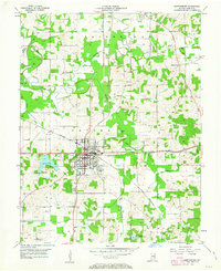
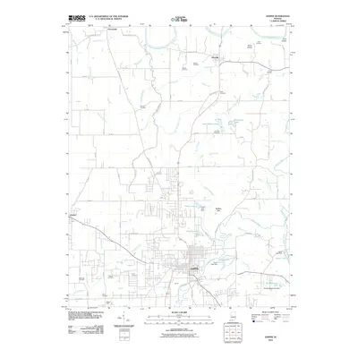
 1960 Jasper1961 Print · USGSDubois County centered on Jasper shows a landscape of river-bend settlements and expanding rail infrastructure in the early sixties. Genealogists can locate family landmarks like Shiloh Ch and numerous rural plots including Alexander Cem and Wilhoit Cem.4 unique versions available
 - 1969 Map of Huntingburg, 1971 Print
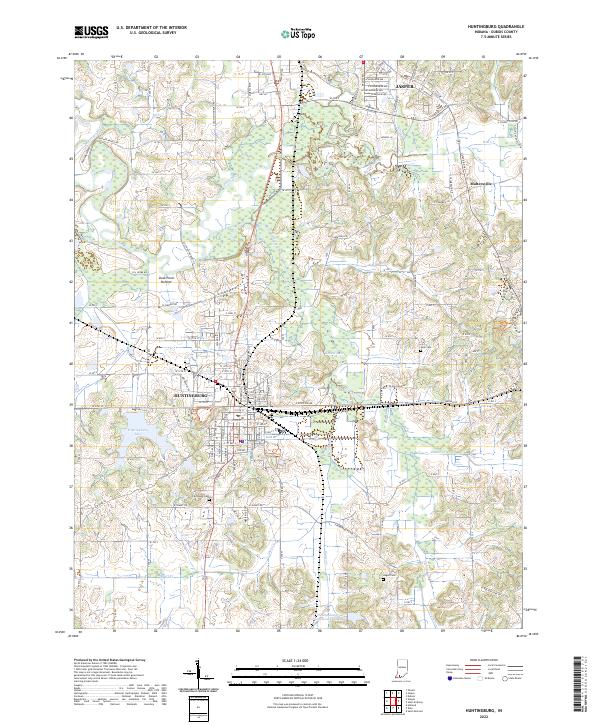
 1969 Huntingburg1971 Print · USGSHuntingburg and the surrounding Dubois County countryside are captured here in the late sixties, highlighting a period of local industrial and civic growth. Researchers can locate specific family sites like Main Cem and Hagen Cem or trace the old rail lines of the Southern railroad near Maltersville.3 unique versions available
 - 1986 Map of Jasper
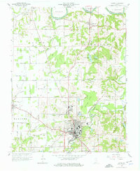
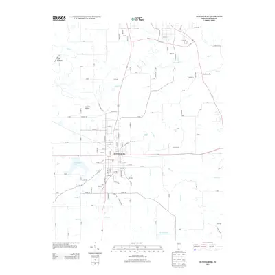
 1986 Jasper1986 Print · USGSSouthern Indiana in the 1980s is defined by the expansive Patoka Lake and the dense timber of the Hoosier National Forest. Researchers can trace the Southern RR through the hills or locate historic sites like Saint Meinrad and Sulphur Springs.
 - 1994 Map of Jasper
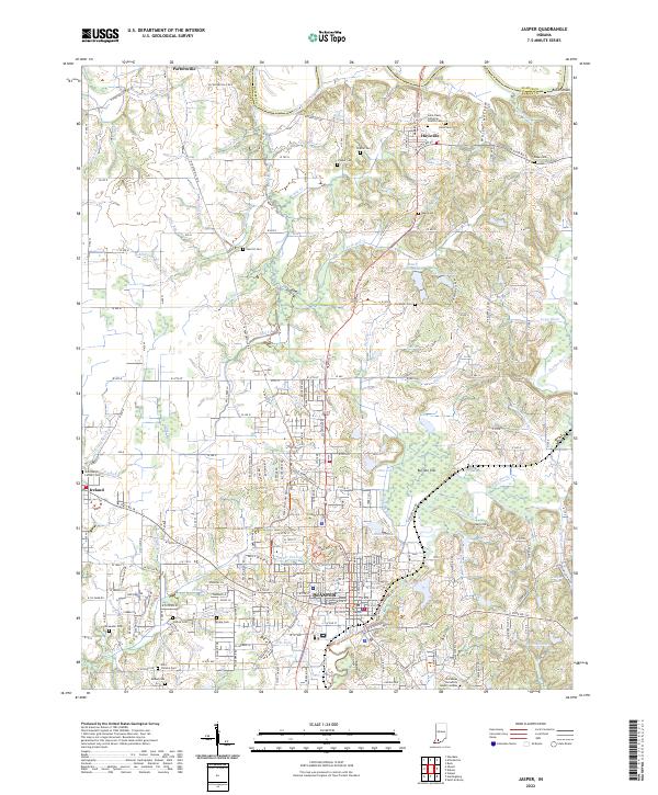
 1994 Jasper1994 Print · USGSSouthern Indiana and the Kentucky borderlands are captured here in the mid-nineties, showing a landscape defined by the Ohio River and dense state forests. Genealogists can locate family landmarks like Saint Meinrad Archabbey, Saint Anthony, and the historic Lincoln Boyhood National Memorial.
 - 2010 Map of Huntingburg, 2010 Print
 2010 Huntingburg2010 Print · USGSCovers Jasper, including Huntingburg, Maltersville, and other nearby areas
 - 2010 Map of Jasper, 2010 Print
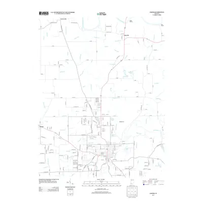
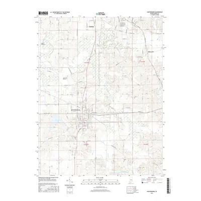
 2010 Jasper2010 Print · USGSCovers Jasper, including Ireland, Portersville, and other nearby areas
 - 2013 Map of Huntingburg, 2013 Print
 2013 Huntingburg2013 Print · USGSCovers Jasper, including Huntingburg, Maltersville, and other nearby areas
 - 2013 Map of Jasper, 2013 Print
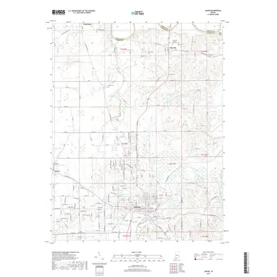
 2013 Jasper2013 Print · USGSCovers Jasper, including Ireland, Portersville, and other nearby areas
 - 2016 Map of Huntingburg, 2016 Print
 2016 Huntingburg2016 Print · USGSCovers Jasper, including Huntingburg, Maltersville, and other nearby areas
 - 2016 Map of Jasper, 2016 Print
 2016 Jasper2016 Print · USGSCovers Jasper, including Ireland, Portersville, and other nearby areas
 - 2019 Map of Jasper, 2019 Print
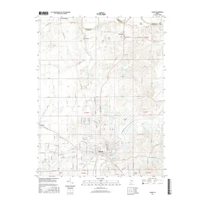
 2019 Jasper2019 Print · USGSCovers Jasper, including Ireland, Portersville, and other nearby areas
 - 2019 Map of Huntingburg, 2019 Print
 2019 Huntingburg2019 Print · USGSCovers Jasper, including Huntingburg, Maltersville, and other nearby areas
 - 2022 Map of Jasper, 2022 Print
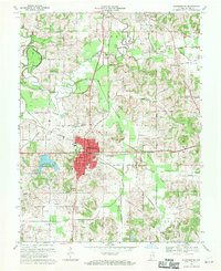
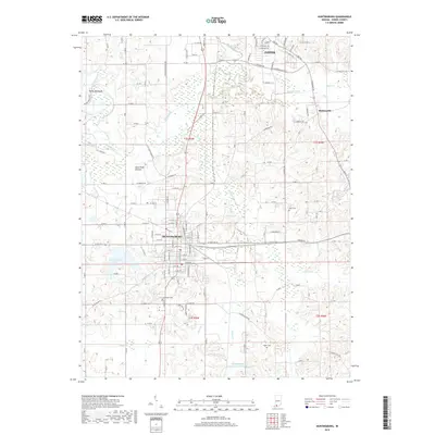
 2022 Jasper2022 Print · USGSJasper and its neighboring communities in Dubois County appear here during the early twenty-first century as the region maintains its river-town character. Local researchers can locate numerous family burial grounds like Sherritt Cem and Kelso Cem or trace the path of the Patoka River.
 - 2022 Map of Huntingburg, 2022 Print
 2022 Huntingburg2022 Print · USGSThe rail-and-road corridor between Huntingburg and Jasper is captured here in the early 2020s. Genealogists and local historians can trace legacy sites like Fairmount Cemetery, St Marys Church, and the ridge at Devils Backbone.
End of results
Showing maps 1-19 of 19
Top cities near Jasper
- Huntingburg historical maps
- Ferdinand historical maps
- Dale historical maps
- Holland historical maps
- Alfordsville historical maps
Frequently asked questions
- What are the different types of historical maps available for Jasper?
- What is the oldest map of Jasper?
- Where can I purchase historical maps of Jasper for my home or office?
- Where can I download high-res historical maps of Jasper?
- Are there historical topographic maps available for Jasper?
- Is there historical aerial imagery available for Jasper?
- Where are historical maps of Jasper sourced from?