
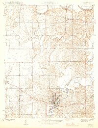
1946 Map of Jasper
USGS Topo · Published 1946About this map
Jasper serves as the focal point of this Dubois County survey, where the Southern railroad line skirts the southern edge of town near the winding Patoka River. The landscape reflects a mid-century rural economy shaped by township boundaries like Boone and Harbison, interspersed with localized institutions such as Shiloh Ch and several small rural schoolhouses including Ackerman Sch and Jahn Sch.
Find a feature on this map
33 named features on this map. Tap any name to fly to it.
Don’t see what you’re looking for? This feature index may not catch every label — zoom into the map to look around manually.
Map Details
Editions of this 1946 Jasper Map
2 editions found
Other maps of this area

1902 · Ditney
USGS Topo · 1:125,000

1903 · Velpen
USGS Topo · 1:62,500

1944 · Glendale
USGS Topo · 1:24,000

1954 · Dubois
USGS Topo · 1:24,000

1954 · Huntingburg
USGS Topo · 1:24,000

1955 · Saint Anthony
USGS Topo · 1:24,000

1956 · Alfordsville
USGS Topo · 1:24,000

1956 · Rusk
USGS Topo · 1:24,000

1956 · Vincennes
USGS Topo · 1:250,000

1957 · Vincennes
USGS Topo · 1:250,000