Old Maps of Nappanee, Indiana
Explore 20 old maps of Nappanee, spanning from 1953 to today. These high-resolution historic maps reveal how streets, neighborhoods, landmarks, and natural features evolved over time — perfect for genealogy, metal detecting, research, and local history exploration.
What you can do with these maps:
- See how Nappanee changed over time: Compare historical maps to modern-day views to trace roads, homesites, rail lines & more.
- View detailed metadata: Each map includes creators, publishers, year, scale, and archive source.
- Overlay maps with satellite & LiDAR: Visualize the past alongside modern tools to explore terrain & human change.
- Trusted historical sources: Maps sourced from the USGS, Library of Congress, and other archives.
- Access maps your way: View online, download high-res files, or order prints for personal or research use.
Start exploring old maps of Nappanee to uncover forgotten places, hidden landmarks, and the deep history beneath your feet.
Nappanee, IN maps
(20)- 1953 Map of Fort Wayne, 1963 Print
 1953 Fort Wayne1963 Print · USGSNortheast Indiana and its neighboring borderlands in Michigan and Ohio appear here during a peak era of rail and road expansion. Researchers can trace the massive rail networks of the Nickel Plate Road and Wabash or locate lakeside landmarks like Lake Wawasee and Clear Lake.4 unique versions available
 - 1953 Map of Chicago, 1964 Print
 1953 Chicago1964 Print · USGSThe southern Lake Michigan shoreline was rapidly modernizing in the mid-fifties, balancing heavy industry with its famous academic centers. Researchers can trace the footprints of Notre Dame University or locate vanished sites like the Kingsbury Ordnance Plant and Meigs Field.5 unique versions available
 - 1956 Map of Fort Wayne
 1956 Fort Wayne1956 Print · USGSThe tri-state borderlands of Indiana, Michigan, and Ohio are captured here in the mid-fifties, centered on the growing industrial hub of Fort Wayne. Researchers can trace the heavy rail lines of the New York Central and Pennsylvania alongside prominent water features like Lake Wawasee and the Maumee River.2 unique versions available
 - 1957 Map of Chicago
 1957 Chicago1957 Print · USGSThe industrial heartland and southern Great Lakes shoreline are captured here during the peak of mid-century growth. Researchers can trace the massive Gary Steel Works, the grounds of the University of Notre Dame, and the early paths of the Tri-State Tollway.
 - 1958 Map of Nappanee West, 1960 Print
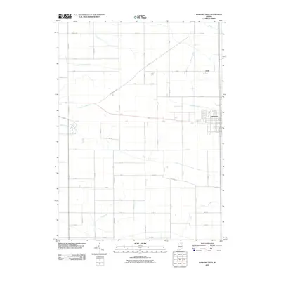
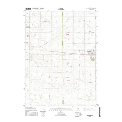
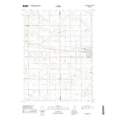
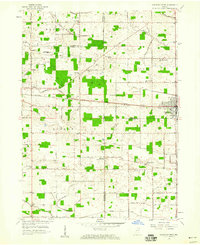 1958 Nappanee West1960 Print · USGSNorthern Indiana farm country is captured here in the late fifties, showing the rural grid where Marshall and Elkhart counties meet. Genealogists can trace family footprints through Borkholder Sch, South Union Chapel, and Sarah Hershberger Road.3 unique versions available
 - 1958 Map of Nappanee East, 1960 Print
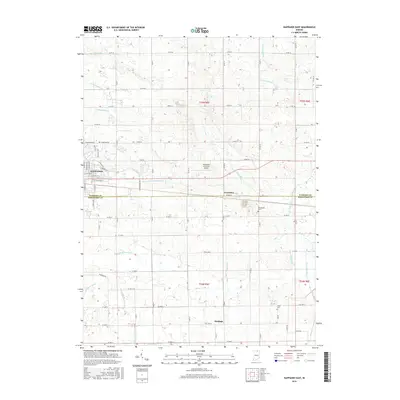
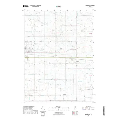
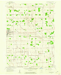 1958 Nappanee East1960 Print · USGSNorthern Kosciusko County appears as a burgeoning agricultural and rail corridor in the late fifties. Genealogists can trace family landmarks like Wisler Ch, Providence Cem, and the small community of Gravelton along the railroad.2 unique versions available
 - 1984 Map of Fort Wayne, 1985 Print
 1984 Fort Wayne1985 Print · USGSNortheast Indiana in the mid-1980s reveals a complex landscape of glacial lakes, thriving college towns, and heavy rail infrastructure. Researchers can trace the development of Winona Lake, locate Manchester College in North Manchester, and find rural landmarks like Oakwood Cem or the Tri-County State Fish and Game Area.
 - 1984 Map of Knox, 1985 Print
 1984 Knox1985 Print · USGSNorthern Indiana's glacial lake country is captured in the mid-eighties, showing a landscape defined by the Kankakee River and major rail lines. Genealogists and historians can trace family ties through lakefront settlements like Lake Maxinkuckee and Bass Lake or the Old Indian Treaty Boundary.2 unique versions available
 - 1992 Map of Nappanee East, 1995 Print
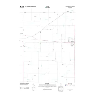
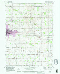 1992 Nappanee East1995 Print · USGSKosciusko and Elkhart counties are shown during the 1990s as the regional landscape balanced agricultural tradition with the growth of Nappanee. Local historians can trace old family sites and rural landmarks like Brumbaugh Cem, Gravelton, and several country churches.
 - 1994 Map of Fort Wayne
 1994 Fort Wayne1994 Print · USGSNortheast Indiana in the mid-nineties shows a landscape deeply tied to its glacial lakes and early rail networks. Genealogists and historians can trace old transit lines like the Old Ind RR and explore lakeside settlements such as Enchanted Hills and Syracuse.
 - 2010 Map of Nappanee East, 2010 Print
 2010 Nappanee East2010 Print · USGSCovers Nappanee, including Hastings, Gravelton, and other nearby areas
 - 2010 Map of Nappanee West, 2010 Print
 2010 Nappanee West2010 Print · USGSCovers Nappanee, including Locke, Saint Joseph County, and other nearby areas
 - 2013 Map of Nappanee East, 2013 Print
 2013 Nappanee East2013 Print · USGSCovers Nappanee, including Hastings, Gravelton, and other nearby areas
 - 2013 Map of Nappanee West, 2013 Print
 2013 Nappanee West2013 Print · USGSCovers Nappanee, including Locke, Saint Joseph County, and other nearby areas
 - 2016 Map of Nappanee East, 2016 Print
 2016 Nappanee East2016 Print · USGSCovers Nappanee, including Hastings, Gravelton, and other nearby areas
 - 2016 Map of Nappanee West, 2016 Print
 2016 Nappanee West2016 Print · USGSCovers Nappanee, including Locke, Saint Joseph County, and other nearby areas
 - 2019 Map of Nappanee East, 2019 Print
 2019 Nappanee East2019 Print · USGSCovers Nappanee, including Hastings, Gravelton, and other nearby areas
 - 2019 Map of Nappanee West, 2019 Print
 2019 Nappanee West2019 Print · USGSCovers Nappanee, including Locke, Saint Joseph County, and other nearby areas
 - 2022 Map of Nappanee East, 2022 Print
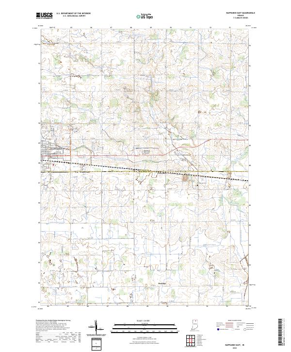 2022 Nappanee East2022 Print · USGSNorthern Indiana's rural landscape is captured here just after the start of the 2020s, showing the settled areas along the Elkhart and Kosciusko County line. Genealogists and local historians can locate smaller communities like Gravelton and Hastings or trace family roots at Brum Baugh Cem and Island Cem.
 - 2022 Map of Nappanee West, 2022 Print
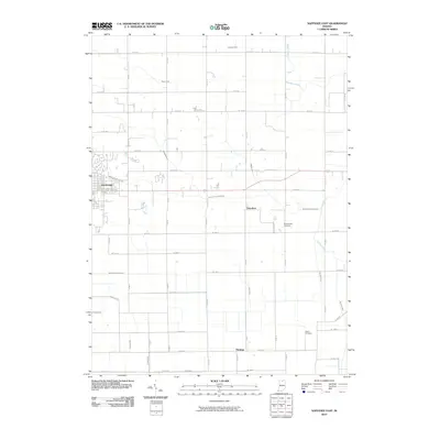
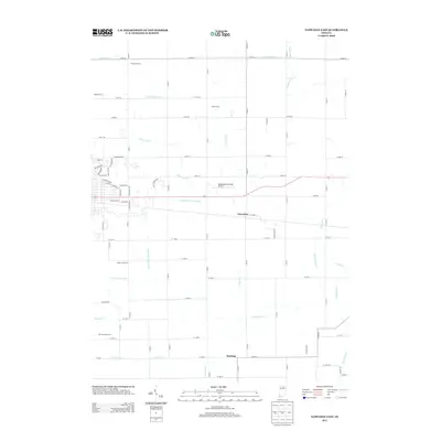
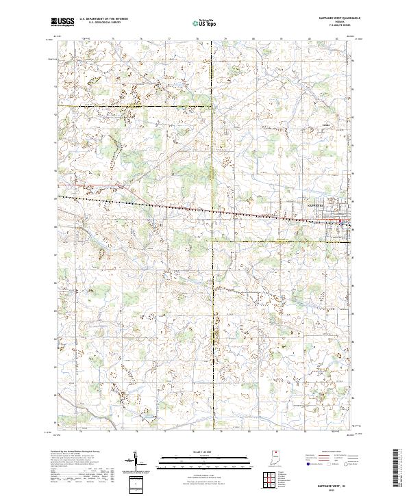 2022 Nappanee West2022 Print · USGSThis part of Indiana where Marshall and Elkhart counties meet was defined by its drainage and railroads in the early twenty-first century. Researchers can trace historic family lands through named features like Sarah Hershberger Ditch and the old settlement of Locke.
End of results
Showing maps 1-20 of 20
Top cities near Nappanee
- South Bend historical maps
- Elkhart historical maps
- Mishawaka historical maps
- Goshen historical maps
- Warsaw historical maps
- Locke historical maps
See more
Frequently asked questions
- What are the different types of historical maps available for Nappanee?
- What is the oldest map of Nappanee?
- Where can I purchase historical maps of Nappanee for my home or office?
- Where can I download high-res historical maps of Nappanee?
- Are there historical topographic maps available for Nappanee?
- Is there historical aerial imagery available for Nappanee?
- Where are historical maps of Nappanee sourced from?