
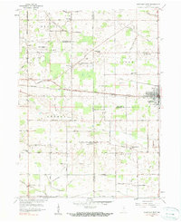
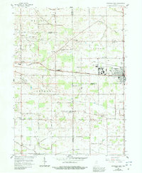
1958 Map of Nappanee West
USGS Topo · Published 1960About this map
The city of Nappanee anchors the eastern edge of this late-1950s survey, showing the town's grid just south of the Baltimore and Ohio Railroad. The surrounding rural landscape is defined by an extensive network of drainage systems, such as Heinkey Ditch and Beech DITCH, which enabled agriculture across the Marshall and Elkhart County border. The placement of schools and churches reveals a tight-knit agrarian society, with locations like Borkholder Sch and South Union Chapel serving local farm families. The road network often carries the names of early residents, such as Sarah Hershberger Road and Pittman Road, providing excellent genealogical breadcrumbs. The intersection of rail transport and field drainage reflects the mid-century transition as Northern Indiana's industrial and agricultural economies matured.
Find a feature on this map
67 named features on this map. Tap any name to fly to it.
Don’t see what you’re looking for? This feature index may not catch every label — zoom into the map to look around manually.
Map Details
Editions of this 1958 Nappanee West Map
3 editions found
Other maps of this area

1953 · Fort Wayne
USGS Topo · 1:250,000

1953 · Chicago
USGS Topo · 1:250,000

1956 · Fort Wayne
USGS Topo · 1:250,000

1957 · Chicago
USGS Topo · 1:250,000

1957 · Inwood
USGS Topo · 1:24,000

1958 · Bremen
USGS Topo · 1:24,000

1958 · Nappanee East
USGS Topo · 1:24,000

1958 · Bourbon
USGS Topo · 1:24,000

1959 · Atwood
USGS Topo · 1:24,000

1960 · Foraker
USGS Topo · 1:24,000