
1958 Map of Bourbon
USGS Topo · Published 1960About this map
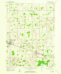
The town of Bourbon serves as a central hub on this mid-century survey, defined by its grid of streets and the Pennsylvania Railroad corridor. The landscape is heavily marked by a sophisticated drainage network of named ditches, including Lemler Ditch and Danner Ditch, which support the surrounding agricultural tracts. To the southeast, the village of Etna Green sits near the crossing of the rail line and the Lincoln Highway, highlighting the era's reliance on both rail and early transcontinental road travel. Local history is well-preserved through several rural landmarks, from the Odd Fellows Cem and Parks Memorial Cem near Bourbon to a series of country churches like Foster Chapel and Camp Creek Ch. The southern edge of the sheet follows the winding path of the Tippecanoe River, providing a natural contrast to the geometric section-line roads and numerous Gravel Pit operations that dot the county borders.
Find a feature on this map
65 named features on this map. Tap any name to fly to it.
Don’t see what you’re looking for? This feature index may not catch every label — zoom into the map to look around manually.
Map Details
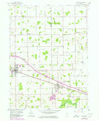
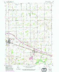
Editions of this 1958 Bourbon Map
4 editions found
Other maps of this area

1953 · Fort Wayne
USGS Topo · 1:250,000

1953 · Chicago
USGS Topo · 1:250,000

1956 · Fort Wayne
USGS Topo · 1:250,000

1957 · Chicago
USGS Topo · 1:250,000

1957 · Inwood
USGS Topo · 1:24,000

1958 · Bremen
USGS Topo · 1:24,000

1958 · Nappanee West
USGS Topo · 1:24,000

1958 · Nappanee East
USGS Topo · 1:24,000

1959 · Atwood
USGS Topo · 1:24,000

1959 · Mentone
USGS Topo · 1:24,000