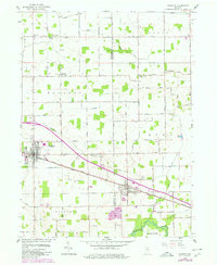
1958 Map of Bourbon
USGS Topo · Published 1980About this map
Agricultural life in North Central Indiana centers on the towns of Bourbon and Etna Green, both positioned along the Conrail line. This 1958 topographic survey, updated with late 1970s aerial revisions, reveals a landscape defined by an extensive drainage network, featuring the Tippecanoe River and various managed waterways like Dausman Ditch. The town of Bourbon is shown with its organized street grid and the Fairgrounds on its eastern edge, while Etna Green serves as a crossroads near the Etna Green Cem and a Township Sch.
Find a feature on this map
74 named features on this map. Tap any name to fly to it.
Don’t see what you’re looking for? This feature index may not catch every label — zoom into the map to look around manually.
Map Details
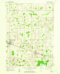
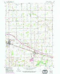
Editions of this 1958 Bourbon Map
4 editions found
Other maps of this area

1953 · Fort Wayne
USGS Topo · 1:250,000

1953 · Chicago
USGS Topo · 1:250,000

1956 · Fort Wayne
USGS Topo · 1:250,000

1957 · Chicago
USGS Topo · 1:250,000

1957 · Inwood
USGS Topo · 1:24,000

1958 · Bremen
USGS Topo · 1:24,000

1958 · Nappanee West
USGS Topo · 1:24,000

1958 · Nappanee East
USGS Topo · 1:24,000

1958 · Bourbon
USGS Topo · 1:24,000

1959 · Atwood
USGS Topo · 1:24,000