
1958 Map of Bremen
USGS Topo · Published 1960About this map
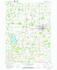
Bremen serves as the focal point of this northern Indiana landscape, where the Baltimore and Ohio railroad corridor intersects with the historic Grand Army of the Republic Highway. The town's layout in the late 1950s is shown in detail, including the Bremen Township Sch and the Bremen Cemetery on its eastern edge. Outside the town limits, the terrain is defined by an extensive network of drainage infrastructure, such as the Kline-Rouch Ditch and Bunch Ditch (West Branch), which support the agricultural productivity of the surrounding German and North townships.
Find a feature on this map
47 named features on this map. Tap any name to fly to it.
Don’t see what you’re looking for? This feature index may not catch every label — zoom into the map to look around manually.
Map Details
Editions of this 1958 Bremen Map
5 editions found
Other maps of this area

1953 · Chicago
USGS Topo · 1:250,000

1957 · Chicago
USGS Topo · 1:250,000

1957 · Inwood
USGS Topo · 1:24,000

1957 · Plymouth
USGS Topo · 1:24,000

1958 · La Paz
USGS Topo · 1:24,000

1958 · Nappanee West
USGS Topo · 1:24,000

1958 · Bourbon
USGS Topo · 1:24,000

1958 · Lakeville
USGS Topo · 1:24,000
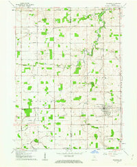
1961 · Wakarusa
USGS Topo · 1:24,000
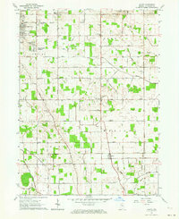
1961 · Wyatt
USGS Topo · 1:24,000