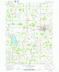
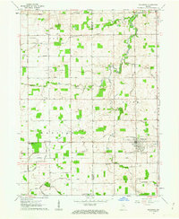
1958 Map of Bremen
USGS Topo · Published 1980About this map
The town of Bremen serves as the primary hub in this late 1950s Indiana landscape, where the local economy and social life were anchored by rural institutions and a network of drainage ditches. The area is defined by its agricultural character and the presence of significant water bodies like Lake of the Woods, while the Yellow River snakes across the terrain, monitored by a gaging station. This map is particularly valuable for genealogical research, showing the exact locations of family-oriented landmarks such as the Huff Cem and Ewald Cem.
Find a feature on this map
20 named features on this map. Tap any name to fly to it.
Don’t see what you’re looking for? This feature index may not catch every label — zoom into the map to look around manually.
Map Details
Editions of this 1958 Bremen Map
5 editions found
Other maps of this area

1953 · Chicago
USGS Topo · 1:250,000

1957 · Chicago
USGS Topo · 1:250,000

1957 · Inwood
USGS Topo · 1:24,000

1957 · Plymouth
USGS Topo · 1:24,000

1958 · Bremen
USGS Topo · 1:24,000

1958 · La Paz
USGS Topo · 1:24,000

1958 · Nappanee West
USGS Topo · 1:24,000

1958 · Bourbon
USGS Topo · 1:24,000

1958 · Lakeville
USGS Topo · 1:24,000
1961 · Wakarusa
USGS Topo · 1:24,000