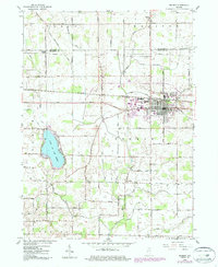
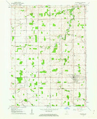
1958 Map of Bremen
USGS Topo · Published 1987About this map
Bremen anchors this Marshall County landscape, showing the town's structural evolution through the mid-20th century. The settlement is defined by the east-west corridor of the Baltimore and Ohio Railroad and the intersecting Grand Army of the Republic Highway. Local genealogy is well-served by several marked burial grounds, including Bremen Cemetery, Huff Cem, and Ewald Cem, alongside rural houses of worship such as Indiana Chapel and Madison Ch.
Find a feature on this map
35 named features on this map. Tap any name to fly to it.
Don’t see what you’re looking for? This feature index may not catch every label — zoom into the map to look around manually.
Map Details
Editions of this 1958 Bremen Map
5 editions found
Other maps of this area

1953 · Chicago
USGS Topo · 1:250,000

1957 · Chicago
USGS Topo · 1:250,000

1957 · Inwood
USGS Topo · 1:24,000

1957 · Plymouth
USGS Topo · 1:24,000

1958 · Bremen
USGS Topo · 1:24,000

1958 · La Paz
USGS Topo · 1:24,000

1958 · Nappanee West
USGS Topo · 1:24,000

1958 · Bourbon
USGS Topo · 1:24,000

1958 · Lakeville
USGS Topo · 1:24,000
1961 · Wakarusa
USGS Topo · 1:24,000