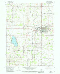
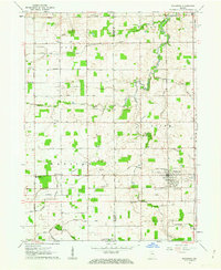
1958 Map of Bremen
USGS Topo · Published 1991About this map
Bremen serves as the primary hub of this 1950s Indiana landscape, showing a dense street grid punctuated by industry and residential growth on the border of St. Joseph and Marshall Counties. The town is surrounded by a complex network of agricultural drainage systems, such as Bunch Ditch (East Branch) and Kline-Rouch Ditch, which channel water toward the Yellow River. Significant rural landmarks define the outskirts, including Madison Ch, Indiana Chapel, and cemeteries like Huff Cem and Ewald Cem.
Find a feature on this map
67 named features on this map. Tap any name to fly to it.
Don’t see what you’re looking for? This feature index may not catch every label — zoom into the map to look around manually.
Map Details
Editions of this 1958 Bremen Map
5 editions found
Other maps of this area

1953 · Chicago
USGS Topo · 1:250,000

1957 · Chicago
USGS Topo · 1:250,000

1957 · Inwood
USGS Topo · 1:24,000

1957 · Plymouth
USGS Topo · 1:24,000

1958 · Bremen
USGS Topo · 1:24,000

1958 · La Paz
USGS Topo · 1:24,000

1958 · Nappanee West
USGS Topo · 1:24,000

1958 · Bourbon
USGS Topo · 1:24,000

1958 · Lakeville
USGS Topo · 1:24,000
1961 · Wakarusa
USGS Topo · 1:24,000