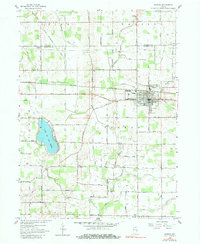
1958 Map of Bremen
USGS Topo · Published 1980About this map
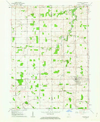
Bremen serves as the primary hub of this northern Indiana landscape, where the Baltimore and Ohio railroad and the Grand Army of the Republic Highway intersect to drive the local economy. The town's grid is anchored by the Bremen Township School, surrounded by a meticulously managed drainage network of named ditches like Heinkey Ditch and Arney Ditch, reflecting the region's agricultural engineering.
Find a feature on this map
51 named features on this map. Tap any name to fly to it.
Don’t see what you’re looking for? This feature index may not catch every label — zoom into the map to look around manually.
Map Details
Editions of this 1958 Bremen Map
5 editions found
Other maps of this area

1953 · Chicago
USGS Topo · 1:250,000

1957 · Chicago
USGS Topo · 1:250,000

1957 · Inwood
USGS Topo · 1:24,000

1957 · Plymouth
USGS Topo · 1:24,000

1958 · Bremen
USGS Topo · 1:24,000

1958 · La Paz
USGS Topo · 1:24,000

1958 · Nappanee West
USGS Topo · 1:24,000

1958 · Bourbon
USGS Topo · 1:24,000

1958 · Lakeville
USGS Topo · 1:24,000
1961 · Wakarusa
USGS Topo · 1:24,000