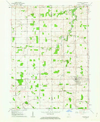
1961 Map of Wakarusa
USGS Topo · Published 1963About this map
Wakarusa serves as the primary hub of this 1961 survey, showing a landscape defined by an extensive drainage network and rural institutions across the St. Joseph and Elkhart county line. The agricultural character of the era is evident in the dense system of ditches like Eller Ditch, Barkey Ditch, and Wisler Ditch that channel water into Baugo Creek. These engineered waterways, often named for local landowning families, reflect the mid-century transformation of the northern Indiana prairie into productive farmland.
Find a feature on this map
57 named features on this map. Tap any name to fly to it.
Don’t see what you’re looking for? This feature index may not catch every label — zoom into the map to look around manually.
Map Details
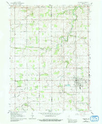
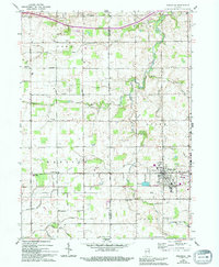
Editions of this 1961 Wakarusa Map
3 editions found
Other maps of this area

1953 · Fort Wayne
USGS Topo · 1:250,000

1953 · Chicago
USGS Topo · 1:250,000

1956 · Fort Wayne
USGS Topo · 1:250,000

1957 · Chicago
USGS Topo · 1:250,000

1958 · South Bend East
USGS Topo · 1:24,000

1958 · Bremen
USGS Topo · 1:24,000

1958 · Nappanee West
USGS Topo · 1:24,000

1958 · Osceola
USGS Topo · 1:24,000

1958 · Nappanee East
USGS Topo · 1:24,000

1960 · Foraker
USGS Topo · 1:24,000