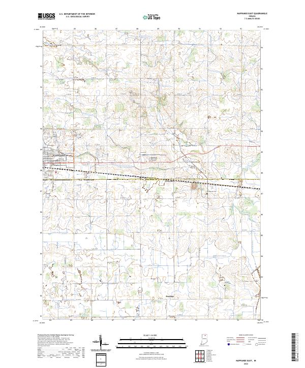
2022 Map of Nappanee East
USGS Topo · Published 2022This historical map portrays the area of Nappanee East in 2022, primarily covering Kosciusko County as well as portions of Elkhart County. Featuring a scale of 1:24000, this map provides a highly detailed snapshot of the terrain, roads, buildings, counties, and historical landmarks in the Nappanee East region at the time. Published in 2022, it is the sole known edition of this map.
Map Details
Editions of this 2022 Nappanee East Map
This is the sole edition of this map. No revisions or reprints were ever made.
Historical Maps of Nappanee Through Time
10 maps found
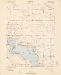
1951 Wawasee
Kosciusko County, IN
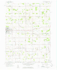
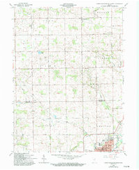
1958 Nappanee East
Kosciusko County, IN
1959 Atwood
Kosciusko County, IN
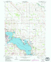
1961 Lake Wawasee
Kosciusko County, IN
1962 North Manchester North
Kosciusko County, IN
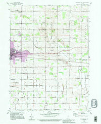
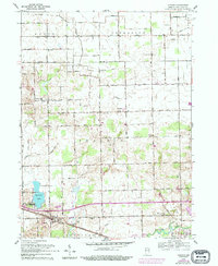
1992 Nappanee East
Kosciusko County, IN
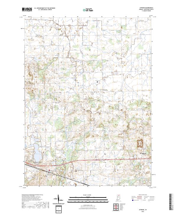
2022 Atwood
Kosciusko County, IN
2022 Lake Wawasee
Kosciusko County, IN
2022 Nappanee East
Kosciusko County, IN
2022 North Manchester North
Kosciusko County, IN