Old Maps of Connersville, Indiana for Metal Detecting
Plan your next treasure hunt with 17 historic maps of Connersville. Find old homesites, ghost towns, trails, and gathering spots that may be lost to time — perfect for identifying promising metal detecting locations.
- Locate forgotten sites: Uncover places like long-lost settlements, abandoned rail lines, or gathering spots.
- Plan better hunts: Use map overlays combined with LiDAR or satellite views to narrow in on historically rich areas.
- Made for detectorists: Thousands of hobbyists use these maps to discover relics, coins, and hidden history.
Use these historic maps to boost your research and find new opportunities beneath the surface of Connersville.
Connersville, IN maps
(17)- 1953 Map of Cincinnati, 1965 Print
 1953 Cincinnati1965 Print · USGSThe Ohio River valley and the industrial heartland of Indiana and Ohio are captured here during the mid-century peak of rail and river commerce. Genealogists and historians can trace connections between Cincinnati and outlying military sites like Camp Atterbury and Bakalar AFB.3 unique versions available
 - 1956 Map of Brownsville, 1957 Print
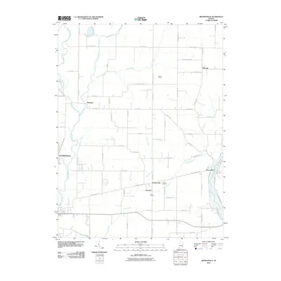
 1956 Brownsville1957 Print · USGSFayette County is captured in the mid-fifties at a moment when rural crossroads like Philomath and Lyonsville still served as vital community centers. Researchers can locate vanished landmarks and family burial sites such as Philomath Cem and Simpson Cem.
 - 1956 Map of Connersville, 1957 Print
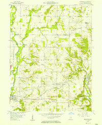
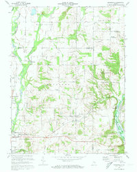
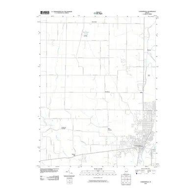
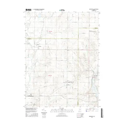
 1956 Connersville1957 Print · USGSIn the mid-1950s, the Connersville area flourished as a crossroads for the Baltimore and Ohio and Pennsylvania railroads. Genealogists and historians can trace family locations near Wiley Chapel Cem, Harrisburg, and several rural Township Sch sites.
 - 1957 Map of Cincinnati
 1957 Cincinnati1957 Print · USGSThe Ohio River valley and its surrounding highlands thrived during the mid-fifties industrial peak, centered on the bustling Cincinnati and Dayton metropolitan hubs. Researchers can trace the extensive rail networks and military sites like Wright-Patterson AFB and Camp Atterbury.
 - 1972 Map of Brownsville, 1973 Print
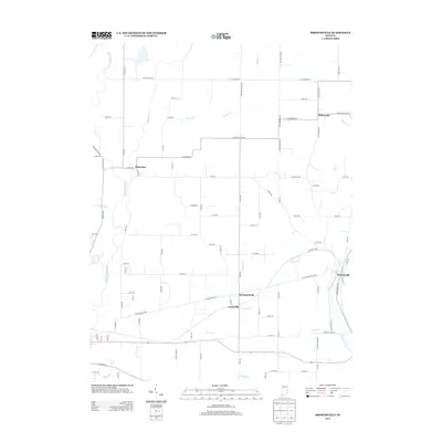
 1972 Brownsville1973 Print · USGSFayette and Union Counties are captured here in the early seventies during the formation of the lake. Local historians can trace the foundations of communities like Springersville, find family plots at Philomath Cem, and locate the Covered Bridge at Brownsville.3 unique versions available
 - 1972 Map of Connersville, 1973 Print
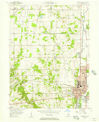
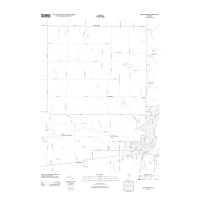
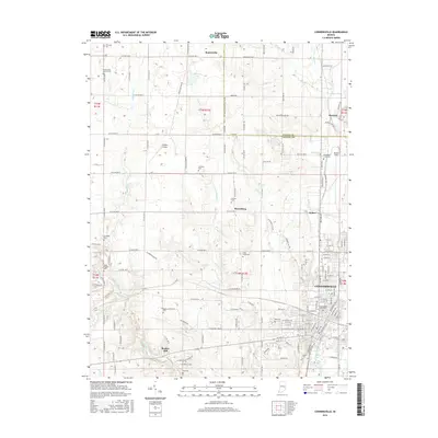
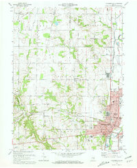 1972 Connersville1973 Print · USGSThe rail-and-river hub of Fayette County is captured here in the early seventies, showing a landscape shaped by the Whitewater River and the Penn Central tracks. Local historians can trace family roots through several rural burial grounds like Wiley Chapel Cem and 24 City Cemetery.2 unique versions available
 - 1986 Map of New Castle
 1986 New Castle1986 Print · USGSEast Central Indiana remains a patchwork of thriving county seats and rail-side hamlets in the mid-eighties. Genealogists and historians can locate family landmarks such as East Hill Cemetery, Little Blue River Church, and the transit lines of the CONRAIL railroad.2 unique versions available
 - 2010 Map of Connersville, 2010 Print
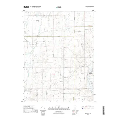
 2010 Connersville2010 Print · USGSCovers Connersville, including Huber, Tyner Crossing, and other nearby areas
 - 2010 Map of Brownsville, 2010 Print
 2010 Brownsville2010 Print · USGSCovers Connersville, including Brownsville, Waterloo, and other nearby areas
 - 2013 Map of Connersville, 2013 Print
 2013 Connersville2013 Print · USGSCovers Connersville, including Huber, Tyner Crossing, and other nearby areas
 - 2013 Map of Brownsville, 2013 Print
 2013 Brownsville2013 Print · USGSCovers Connersville, including Brownsville, Waterloo, and other nearby areas
 - 2016 Map of Connersville, 2016 Print
 2016 Connersville2016 Print · USGSCovers Connersville, including Huber, Tyner Crossing, and other nearby areas
 - 2016 Map of Brownsville, 2016 Print
 2016 Brownsville2016 Print · USGSCovers Connersville, including Brownsville, Waterloo, and other nearby areas
 - 2019 Map of Connersville, 2019 Print
 2019 Connersville2019 Print · USGSCovers Connersville, including Huber, Tyner Crossing, and other nearby areas
 - 2019 Map of Brownsville, 2019 Print
 2019 Brownsville2019 Print · USGSCovers Connersville, including Brownsville, Waterloo, and other nearby areas
 - 2022 Map of Brownsville, 2022 Print
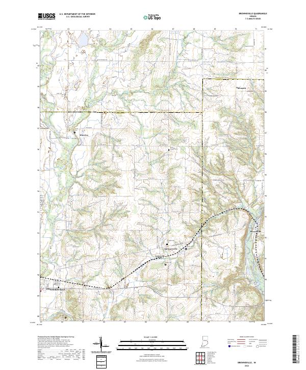 2022 Brownsville2022 Print · USGSTracing the borderlands of Fayette, Wayne, and Union counties, this modern survey illustrates a landscape shaped by the Whitewater River. Researchers will find numerous burial sites and small hamlets to explore, including Springersville, Lyonsville, and the historical Robinson Chapel Cem.
 - 2022 Map of Connersville, 2022 Print
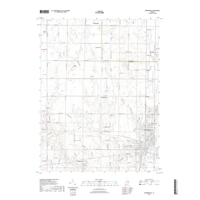
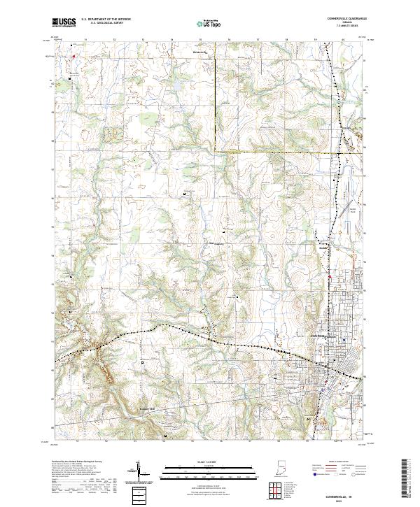 2022 Connersville2022 Print · USGSConnersville and the surrounding Fayette County rural landscape appear here in the early twenty-first century. Researchers can trace family history through numerous burial grounds like Wiley Chapel Cem or follow the historic Whitewater Canal and Whitewater Valley Railroad.
End of results
Showing maps 1-17 of 17
Top cities near Connersville
- Richmond historical maps
- New Castle historical maps
- Centerville historical maps
- Liberty historical maps
- Cambridge City historical maps
- Blooming Grove historical maps
See more
Top neighborhoods of Connersville
Frequently asked questions
- What are the different types of historical maps available for Connersville?
- What is the oldest map of Connersville?
- Where can I purchase historical maps of Connersville for my home or office?
- Where can I download high-res historical maps of Connersville?
- Are there historical topographic maps available for Connersville?
- Is there historical aerial imagery available for Connersville?
- Where are historical maps of Connersville sourced from?