Old Maps of New Castle, Indiana
Explore 24 old maps of New Castle, spanning from 1949 to today. These high-resolution historic maps reveal how streets, neighborhoods, landmarks, and natural features evolved over time — perfect for genealogy, metal detecting, research, and local history exploration.
What you can do with these maps:
- See how New Castle changed over time: Compare historical maps to modern-day views to trace roads, homesites, rail lines & more.
- View detailed metadata: Each map includes creators, publishers, year, scale, and archive source.
- Overlay maps with satellite & LiDAR: Visualize the past alongside modern tools to explore terrain & human change.
- Trusted historical sources: Maps sourced from the USGS, Library of Congress, and other archives.
- Access maps your way: View online, download high-res files, or order prints for personal or research use.
Start exploring old maps of New Castle to uncover forgotten places, hidden landmarks, and the deep history beneath your feet.
New Castle, IN maps
(24)- 1949 Map of New Castle West
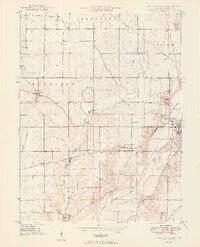 1949 New Castle West1949 Print · USGSWestern Henry County is captured here in the late 1940s, showing a landscape of productive farms and burgeoning rail-side villages. Genealogists can locate several rural burial sites and churches including Quaker Cem, Sugar Grove Ch, and the South Mound Cemetery.2 unique versions available
 - 1950 Map of New Castle East
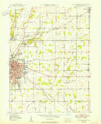 1950 New Castle East1950 Print · USGSMid-century Henry County centers on the industrial growth of New Castle and the unique institutional landscape of the Indiana Village for Epileptics. Genealogists can trace family landmarks like South Mound Cem, Batson Ch, and several rural schoolhouses.2 unique versions available
 - 1950 Map of Dunreith
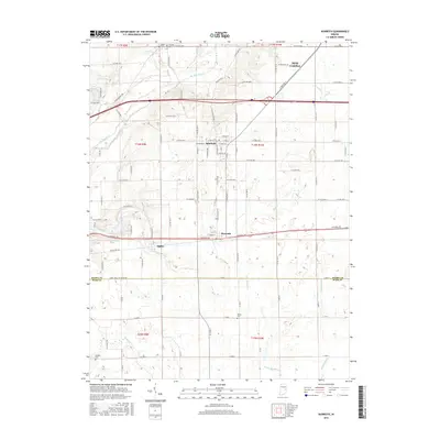
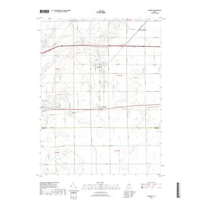
 1950 Dunreith1950 Print · USGSSouthern Henry County in the mid-twentieth century reveals a landscape defined by the intersection of major rail lines and rural townships. Researchers can trace family history through several local burial sites like Shiloh Cem or locate the industrial works at Stone Quarry Mills.
 - 1953 Map of Cincinnati, 1965 Print
 1953 Cincinnati1965 Print · USGSThe Ohio River valley and the industrial heartland of Indiana and Ohio are captured here during the mid-century peak of rail and river commerce. Genealogists and historians can trace connections between Cincinnati and outlying military sites like Camp Atterbury and Bakalar AFB.3 unique versions available
 - 1957 Map of Cincinnati
 1957 Cincinnati1957 Print · USGSThe Ohio River valley and its surrounding highlands thrived during the mid-fifties industrial peak, centered on the bustling Cincinnati and Dayton metropolitan hubs. Researchers can trace the extensive rail networks and military sites like Wright-Patterson AFB and Camp Atterbury.
 - 1960 Map of New Castle West, 1961 Print
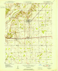
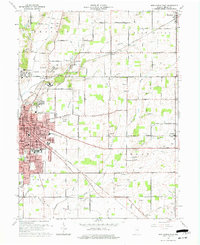
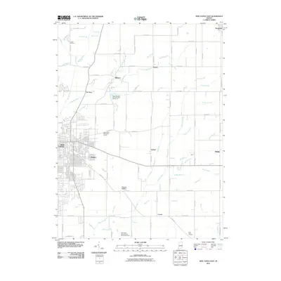
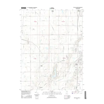
 1960 New Castle West1961 Print · USGSHenry County is captured here at a mid-century peak of rail and road connectivity, centered on the growing city of New Castle. Genealogists and local historians can trace family plots at South Mound Cemetery or locate old landmarks like Sugar Grove Sch and the Drive-In Theater.3 unique versions available
 - 1960 Map of New Castle East, 1961 Print
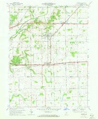
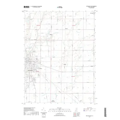
 1960 New Castle East1961 Print · USGSHenry County in the early sixties reveals a landscape shaped by the institutional presence of the Indiana Village for Epileptics and the industrial hub of New Castle. Researchers can locate vanished rural landmarks like Ashland Sch, the Batson Ch, and the rail lines of the Central Indiana Road.3 unique versions available
 - 1970 Map of Dunreith, 1972 Print
 1970 Dunreith1972 Print · USGSHenry and Rush counties are captured here in the early 1970s, showcasing a landscape defined by historic transit and rural industry. Trace the intersections of the National Road with several rail lines and find local landmarks like Beard Sch and Stone Quarry Mills.3 unique versions available
 - 1986 Map of New Castle
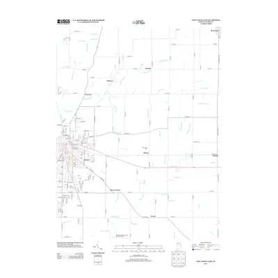
 1986 New Castle1986 Print · USGSEast Central Indiana remains a patchwork of thriving county seats and rail-side hamlets in the mid-eighties. Genealogists and historians can locate family landmarks such as East Hill Cemetery, Little Blue River Church, and the transit lines of the CONRAIL railroad.2 unique versions available
 - 2010 Map of Dunreith, 2010 Print
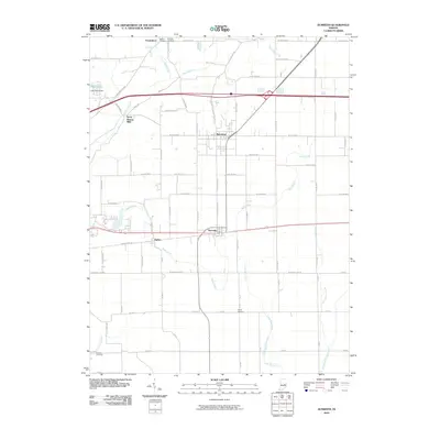 2010 Dunreith2010 Print · USGSCovers New Castle, including Spiceland, Dunreith, and other nearby areas
 - 2010 Map of New Castle West, 2010 Print
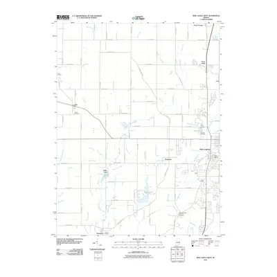 2010 New Castle West2010 Print · USGSCovers New Castle, including Mount Summit, Cadiz, and other nearby areas
 - 2010 Map of New Castle East, 2010 Print
 2010 New Castle East2010 Print · USGSCovers New Castle, including Mooreland, Hillsboro, and other nearby areas
 - 2013 Map of Dunreith, 2013 Print
 2013 Dunreith2013 Print · USGSCovers New Castle, including Spiceland, Dunreith, and other nearby areas
 - 2013 Map of New Castle East, 2013 Print
 2013 New Castle East2013 Print · USGSCovers New Castle, including Mooreland, Hillsboro, and other nearby areas
 - 2013 Map of New Castle West, 2013 Print
 2013 New Castle West2013 Print · USGSCovers New Castle, including Mount Summit, Cadiz, and other nearby areas
 - 2016 Map of New Castle East, 2016 Print
 2016 New Castle East2016 Print · USGSCovers New Castle, including Mooreland, Hillsboro, and other nearby areas
 - 2016 Map of New Castle West, 2016 Print
 2016 New Castle West2016 Print · USGSCovers New Castle, including Mount Summit, Cadiz, and other nearby areas
 - 2016 Map of Dunreith, 2016 Print
 2016 Dunreith2016 Print · USGSCovers New Castle, including Spiceland, Dunreith, and other nearby areas
 - 2019 Map of New Castle East, 2019 Print
 2019 New Castle East2019 Print · USGSCovers New Castle, including Mooreland, Hillsboro, and other nearby areas
 - 2019 Map of New Castle West, 2019 Print
 2019 New Castle West2019 Print · USGSCovers New Castle, including Mount Summit, Cadiz, and other nearby areas
 - 2019 Map of Dunreith, 2019 Print
 2019 Dunreith2019 Print · USGSCovers New Castle, including Spiceland, Dunreith, and other nearby areas
 - 2022 Map of New Castle West, 2022 Print
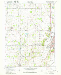
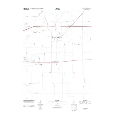
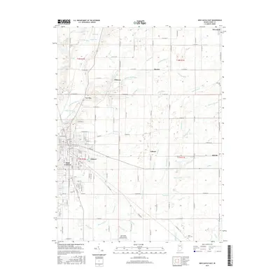
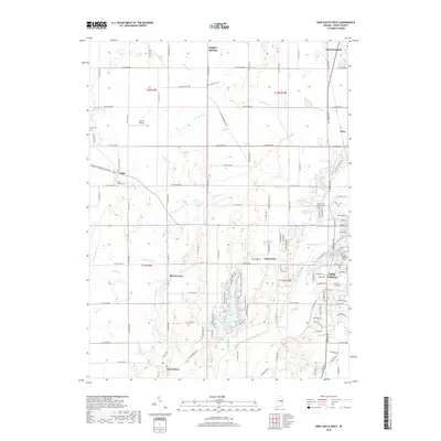
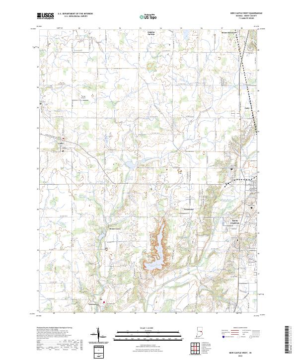 2022 New Castle West2022 Print · USGSHenry County is depicted here in the early twenty-first century, showcasing the landscape between the growing city and its rural satellite villages. Genealogists and local historians can locate several burial grounds including Hess Cem, Cadiz Friends Cem, and Elliott Cem.
 - 2022 Map of New Castle East, 2022 Print
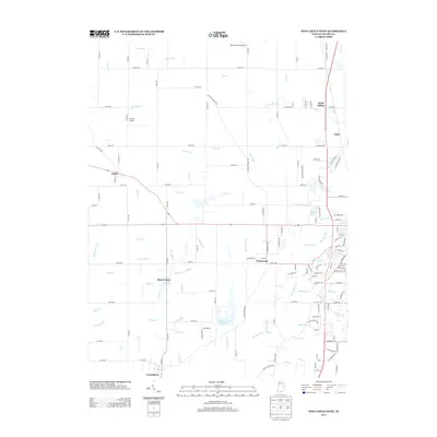
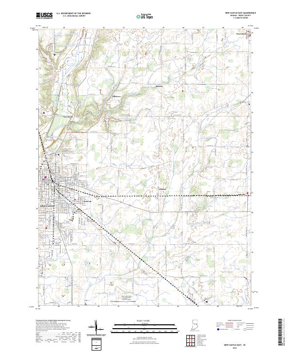 2022 New Castle East2022 Print · USGSHenry County remains a patchwork of historic farmsteads and rural crossroads in the early 2020s. Genealogists and local historians can trace family roots at Livezey Cem and Kessinger Cem or locate the quiet settlements of Ashland and Messick.
 - 2022 Map of Dunreith, 2022 Print
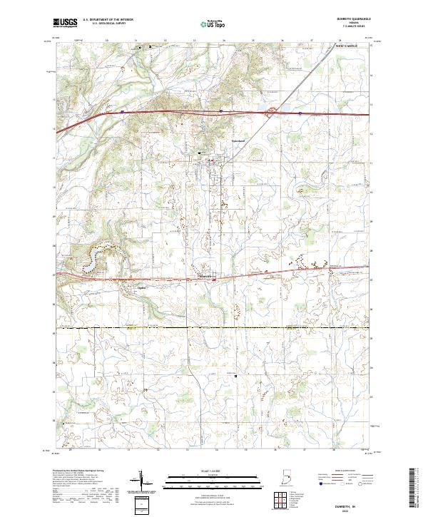 2022 Dunreith2022 Print · USGSHenry County is showcased in this recent survey, capturing the agricultural and small-town character of central Indiana. Genealogists and local historians can trace family roots through numerous burial sites like Shiloh Cem and Hicksite Cem or explore the river valleys of the Big Blue River and Little Blue River.
End of results
Showing maps 1-24 of 24
Top cities near New Castle
- Connersville historical maps
- Chesterfield historical maps
- Middletown historical maps
- Cambridge City historical maps
- Knightstown historical maps
- Hagerstown historical maps
See more
Top neighborhoods of New Castle
Frequently asked questions
- What are the different types of historical maps available for New Castle?
- What is the oldest map of New Castle?
- Where can I purchase historical maps of New Castle for my home or office?
- Where can I download high-res historical maps of New Castle?
- Are there historical topographic maps available for New Castle?
- Is there historical aerial imagery available for New Castle?
- Where are historical maps of New Castle sourced from?