
1960 Map of New Castle East
USGS Topo · Published 1961About this map
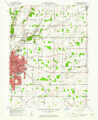
The Indiana Village for Epileptics occupies a significant portion of this landscape, its sprawling campus organized into numbered clusters such as Colony No 1 and Colony No 2 northwest of the New Castle city limits. This institution, established in the early 20th century, defines the local geography alongside the Blue River and several specialized drainage routes like Messick Ditch. Further east, the rural character of Henry County is punctuated by small crossroads and rail stops, including Millville, Ashland, and the town of Mooreland in the northern section.
Find a feature on this map
95 named features on this map. Tap any name to fly to it.
Don’t see what you’re looking for? This feature index may not catch every label — zoom into the map to look around manually.
Map Details
Editions of this 1960 New Castle East Map
Other maps of this area

1948 · Lewisville
USGS Topo · 1:24,000

1949 · New Castle West
USGS Topo · 1:24,000

1950 · New Castle East
USGS Topo · 1:24,000

1950 · Dunreith
USGS Topo · 1:24,000

1950 · Lewisville
USGS Topo · 1:24,000

1953 · Cincinnati
USGS Topo · 1:250,000

1953 · Muncie
USGS Topo · 1:250,000

1956 · Muncie
USGS Topo · 1:250,000

1957 · Cincinnati
USGS Topo · 1:250,000

1960 · New Castle West
USGS Topo · 1:24,000