Loading...
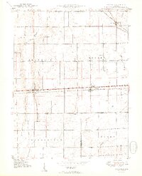
Loading map...1950 Map of Lewisville
USGS Topo · Published 1950About this map
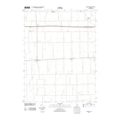
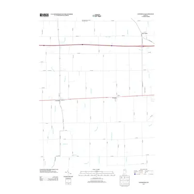
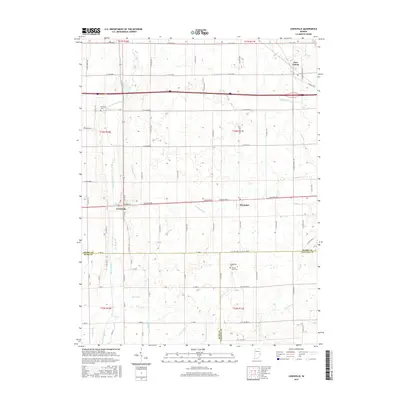
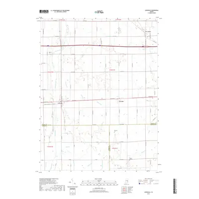
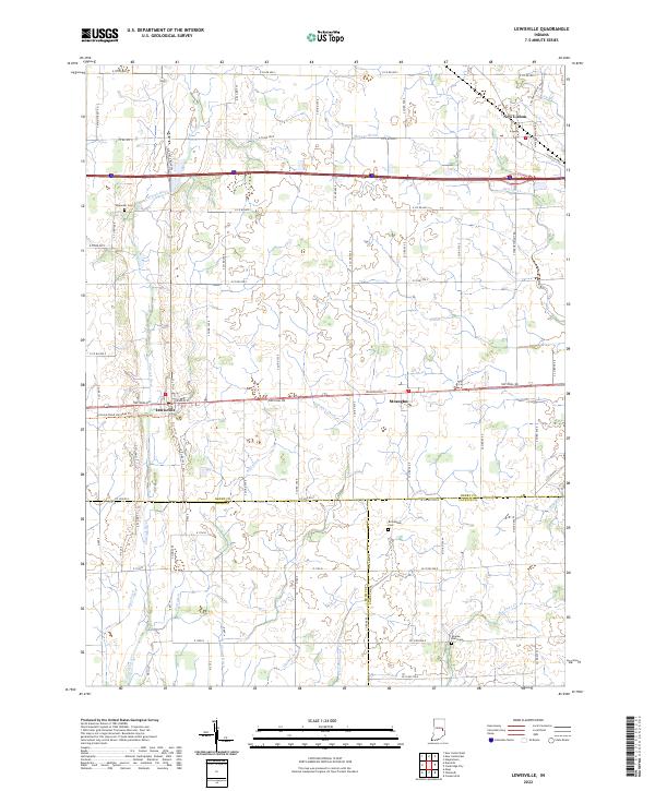
The town of Lewisville serves as a central hub on this 1950 map, situated at the intersection of the Pennsylvania railroad and the highway. This survey captures a post-war landscape where small agricultural centers like Straughn and New Lisbon remained anchored by their transit connections. The distribution of rural landmarks, including Rich Square Ch and Salem Ch, reveals the organized social fabric of Franklin and Dudley townships during this era.
Find a feature on this map
25 named features on this map. Tap any name to fly to it.
Don’t see what you’re looking for? This feature index may not catch every label — zoom into the map to look around manually.
Map Details
Date Portrayed1950
Date Published1950
PublisherU.S. Geological Survey
Map TypeTopographic
Scale1:24,000
Physical Dimensions21.85 x 26.97 inches
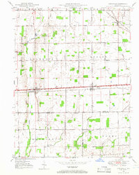
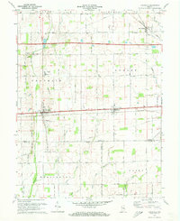
Editions of this 1950 Lewisville Map
2 editions found
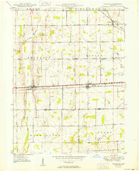
Historical Maps of Lewisville Through Time
8 maps found
Featured Locations
Source Details
SourceU.S. Geological Survey
CopyrightPublic Domain