
1959 Map of Mays
USGS Topo · Published 1960About this map
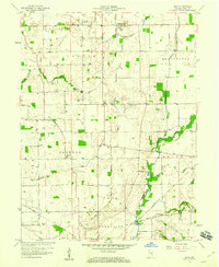
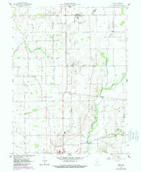
Mays and the rural townships of Center, Washington, and Jackson define this central Indiana landscape in the late 1950s. The region is characterized by a dense network of extraction, with numerous Gas Wells dotting the terrain between family-named drainages like Shankatank Creek and Turkey Creek. The presence of landmarks such as the Covered Bridge on the Flatrock River reflects a traditional infrastructure that coexists with the heavy rail lines of the New York Chicago and St Louis and the Pennsylvania railroads.
Find a feature on this map
31 named features on this map. Tap any name to fly to it.
Don’t see what you’re looking for? This feature index may not catch every label — zoom into the map to look around manually.
Map Details
Editions of this 1959 Mays Map
3 editions found
Other maps of this area

1948 · Lewisville
USGS Topo · 1:24,000

1950 · Dunreith
USGS Topo · 1:24,000

1950 · Lewisville
USGS Topo · 1:24,000

1953 · Cincinnati
USGS Topo · 1:250,000

1957 · Cincinnati
USGS Topo · 1:250,000

1959 · Rushville
USGS Topo · 1:24,000

1959 · New Salem
USGS Topo · 1:24,000

1959 · Falmouth
USGS Topo · 1:24,000
1960 · Manilla
USGS Topo · 1:24,000
1960 · Carthage
USGS Topo · 1:24,000