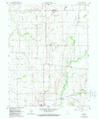
1959 Map of Mays
USGS Topo · Published 1988About this map
The Flat Rock River and its numerous tributaries, including Shankatank Creek and Turkey Creek, define this rural section of Rush County during the mid-to-late 20th century. The landscape is characterized by a high density of Gas Wells, indicating the region's significant role in natural resource extraction alongside its agricultural base. Smaller settlements such as Occident, Sexton, and the northern community of Mays serve as local hubs, with Mays High Sch and Center Ch providing social foundations for the surrounding townships.
Find a feature on this map
23 named features on this map. Tap any name to fly to it.
Don’t see what you’re looking for? This feature index may not catch every label — zoom into the map to look around manually.
Map Details
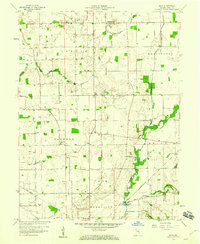
Editions of this 1959 Mays Map
3 editions found
Other maps of this area

1948 · Lewisville
USGS Topo · 1:24,000

1950 · Dunreith
USGS Topo · 1:24,000

1950 · Lewisville
USGS Topo · 1:24,000

1953 · Cincinnati
USGS Topo · 1:250,000

1957 · Cincinnati
USGS Topo · 1:250,000

1959 · Rushville
USGS Topo · 1:24,000

1959 · New Salem
USGS Topo · 1:24,000

1959 · Mays
USGS Topo · 1:24,000

1959 · Falmouth
USGS Topo · 1:24,000
1960 · Manilla
USGS Topo · 1:24,000