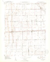
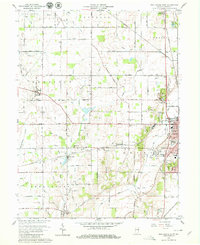
1948 Map of Lewisville
USGS Topo · Published 1966About this map
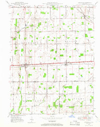
Lewisville and Straughn anchor this East Central Indiana landscape, situated along the Pennsylvania Railroad railroad corridor in the late 1940s. The region is defined by its agricultural character and the crisscrossing paths of small waterways like the Flatrock River and Applebutter Creek. This map captures a dense network of rural community centers, marked primarily by country houses of worship such as Rich Square Ch, Salem Ch, and Ebenezer Ch, which served as social hubs for the surrounding townships.
Find a feature on this map
25 named features on this map. Tap any name to fly to it.
Don’t see what you’re looking for? This feature index may not catch every label — zoom into the map to look around manually.
Map Details
Editions of this 1948 Lewisville Map
This is the sole edition of this map. No revisions or reprints were ever made.
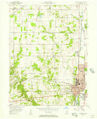
Other maps of this area
1949 · New Castle West
USGS Topo · 1:24,000
1950 · New Castle East
USGS Topo · 1:24,000
1950 · Dunreith
USGS Topo · 1:24,000
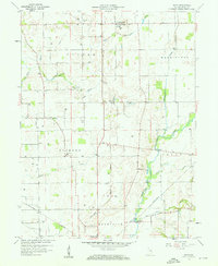
1950 · Lewisville
USGS Topo · 1:24,000

1953 · Cincinnati
USGS Topo · 1:250,000
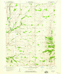
1956 · Connersville
USGS Topo · 1:24,000

1957 · Cincinnati
USGS Topo · 1:250,000
1959 · Mays
USGS Topo · 1:24,000
1959 · Falmouth
USGS Topo · 1:24,000
1960 · New Castle West
USGS Topo · 1:24,000